22 Hamakaido
Hamakaido
Walking time
9Hours
Distance
Around 26.6km (From JR Kumanoshi Station to JR Shingu Station)
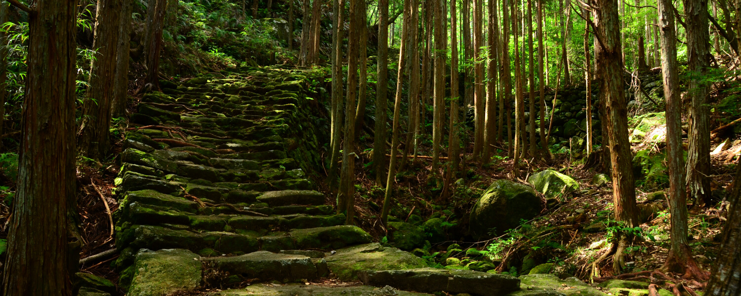
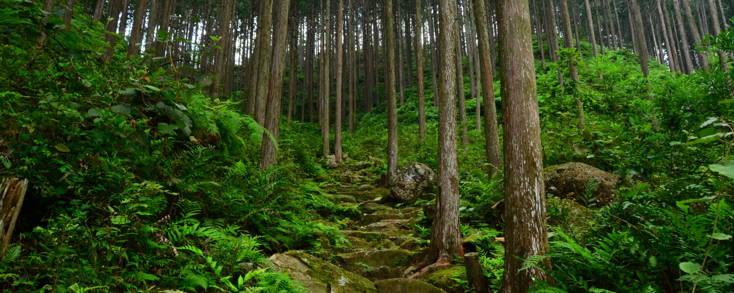
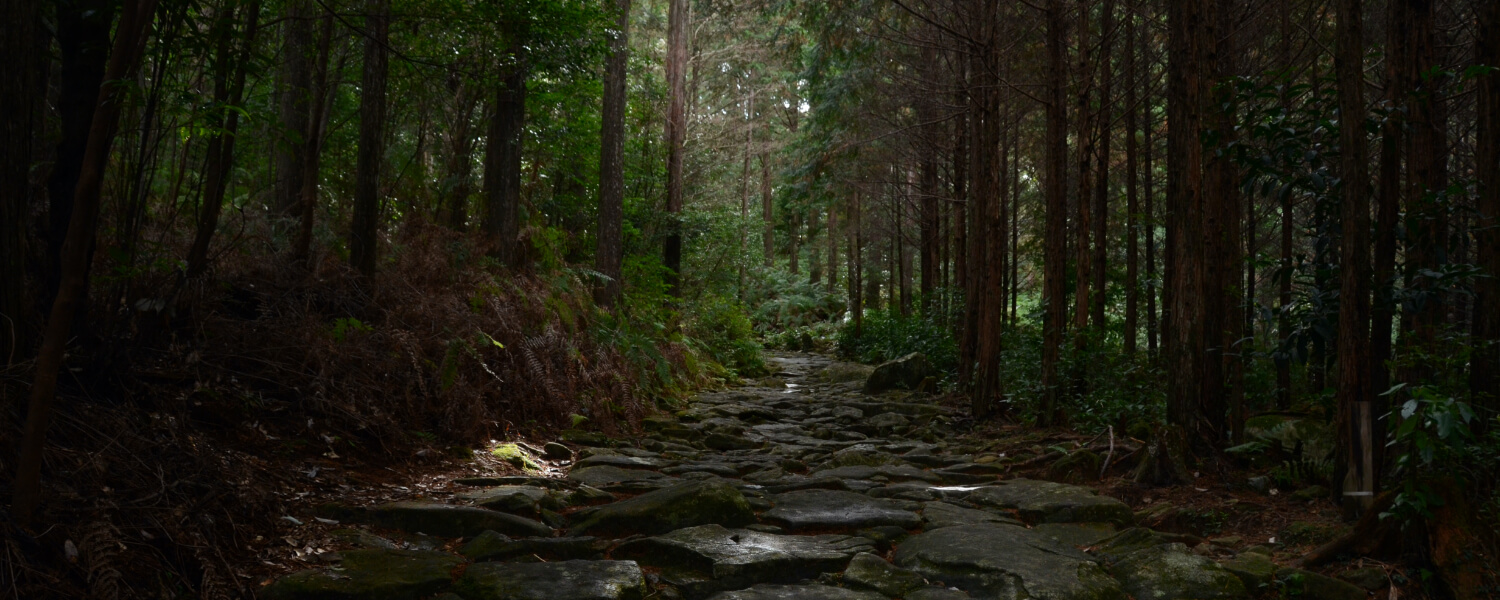
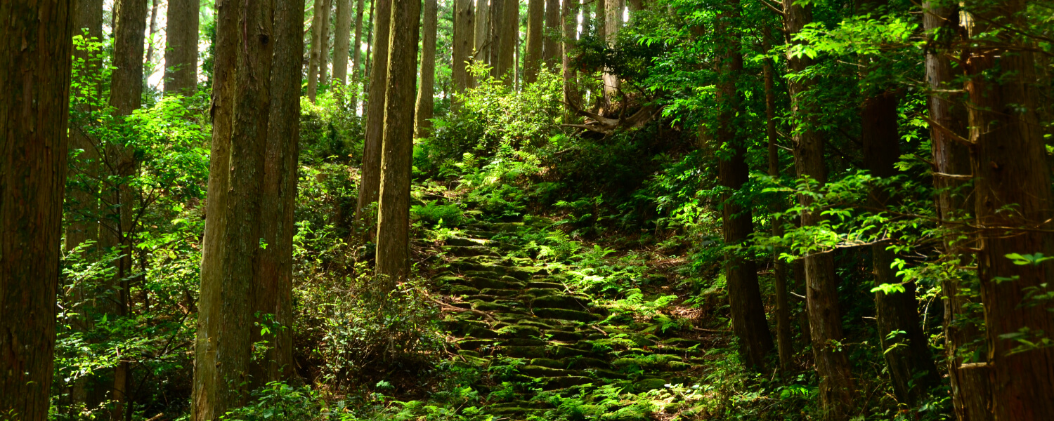
Route features
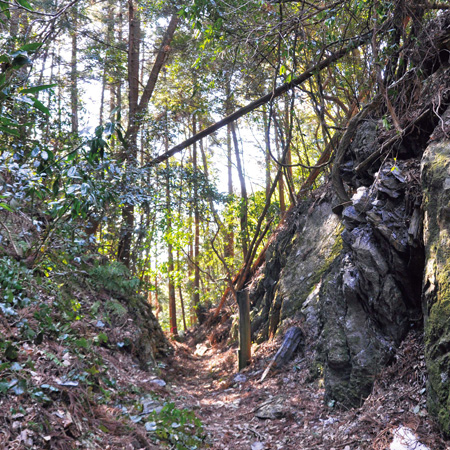
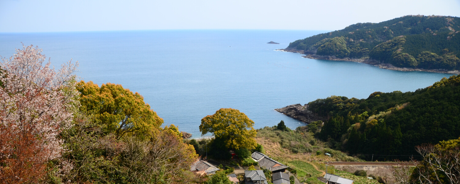
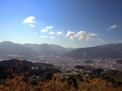
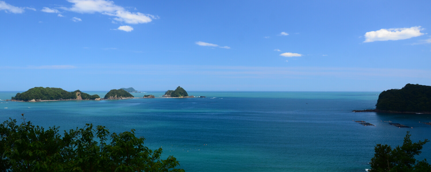
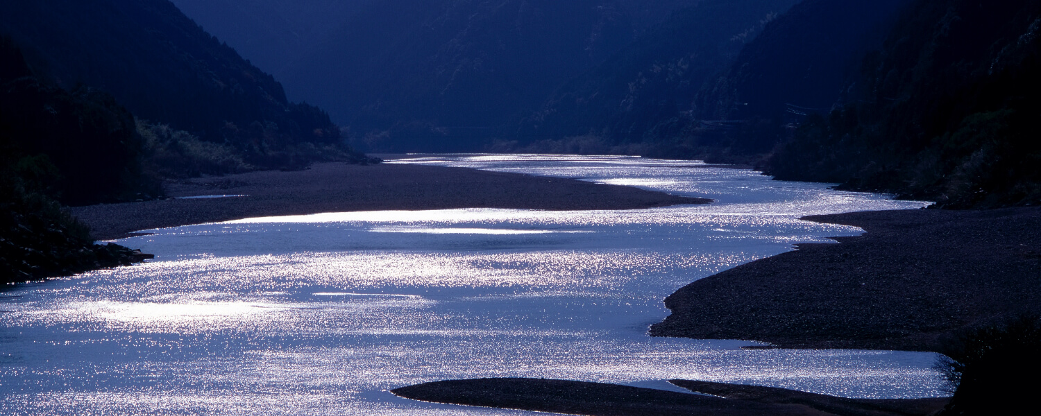
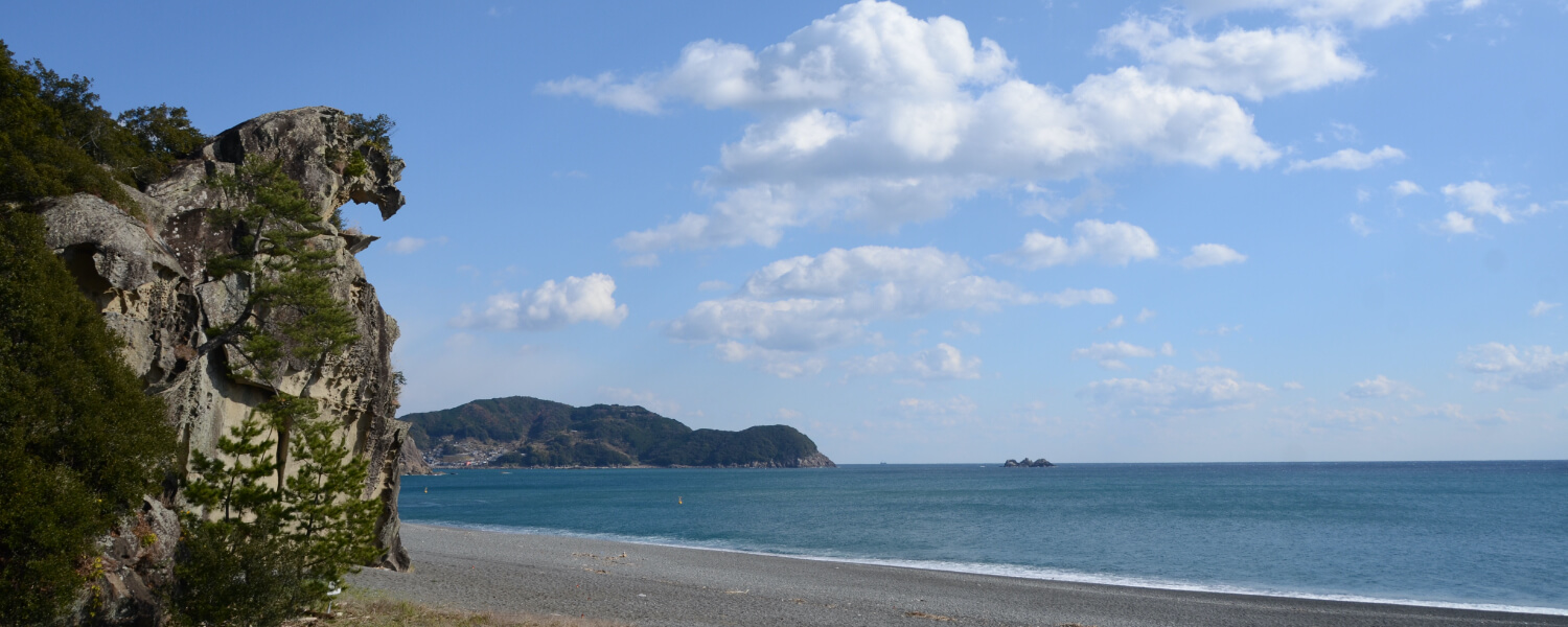
Hama-kaido (North): From the city of Kumano, along the Shichiri Mihama Beach, pilgrims took this route to get to the Hayatama Shrine in Shingu. There are no passes to cross on this flat stretch of road, but many pilgrims were swept away by the waters of the various river crossings and lost their lives. The long distance requires some degree of stamina.
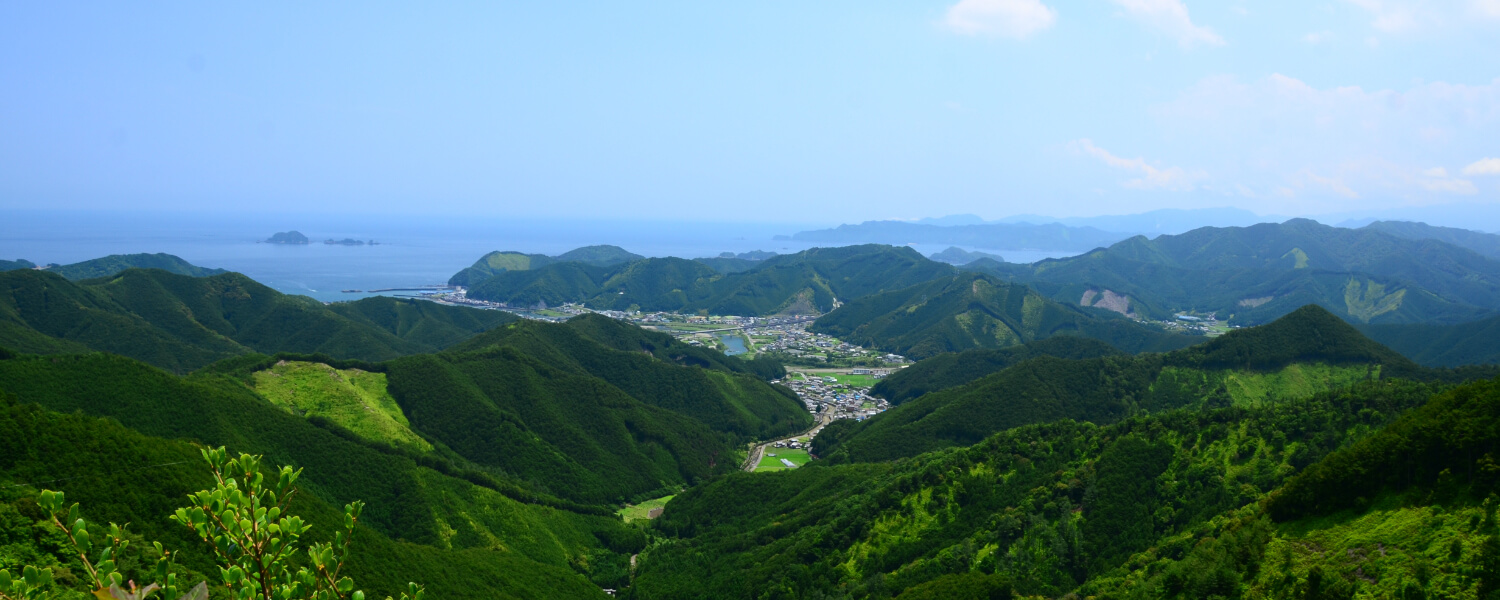
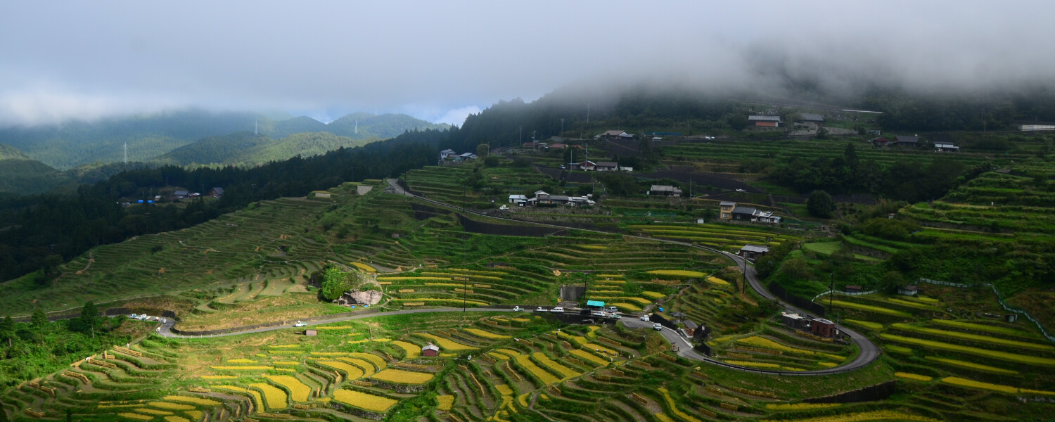
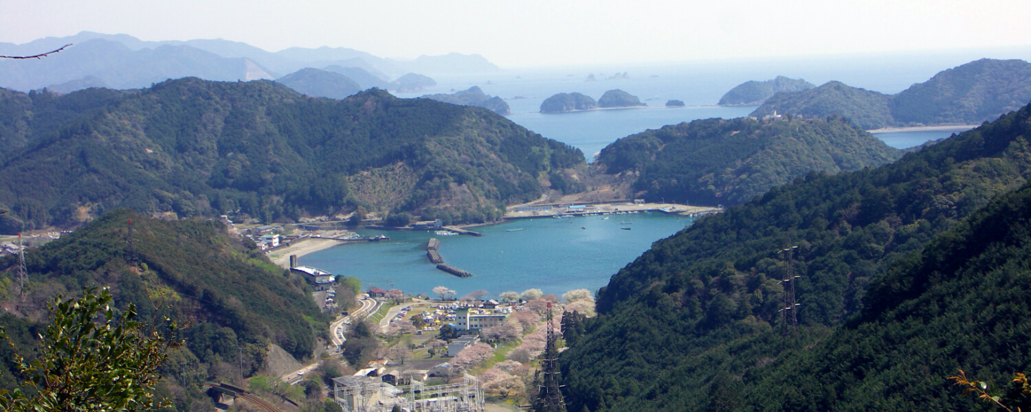
Hama-kaido (South): This route takes you along the Shichiri Mihama Beach and up the mountains, offering beautiful views of the hills and ending at the Kumano River. This river was registered as a part of the UNESCO World Heritage Pilgrimage Routes, in the Kii Mountain Range. Pilgrims must have felt a sense of awe when entering the sacred region of Kumano across the river. After praying at Kumano Hayatama Taisha, they would continue their journey to the other two grand shrines of Kumano Sanzan, Nachi Taisha and Hongu Taisha.
Route highlights
Former Ferry Crossing at Narukawa River
After their long journey, pilgrims took a ferry across the Kumano River to finally reach Hayatama Shrine, the first of the Kumano Sanzan.
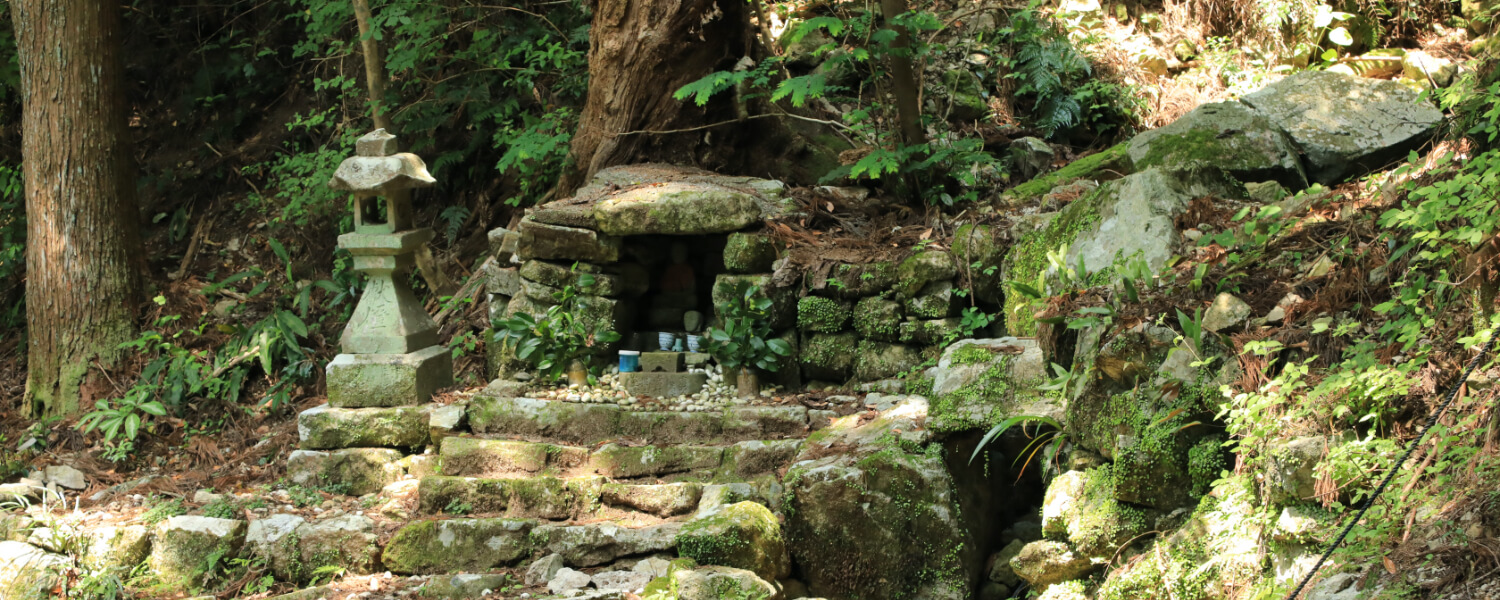
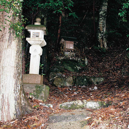
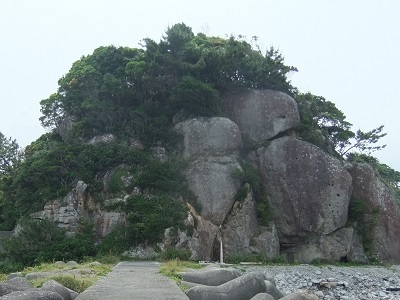
Kajihana Oji Shrine Ruins
This is one of the very few Oji shrines on the Iseji route. This was moved to its current location after twice being washed away by tsunamis.
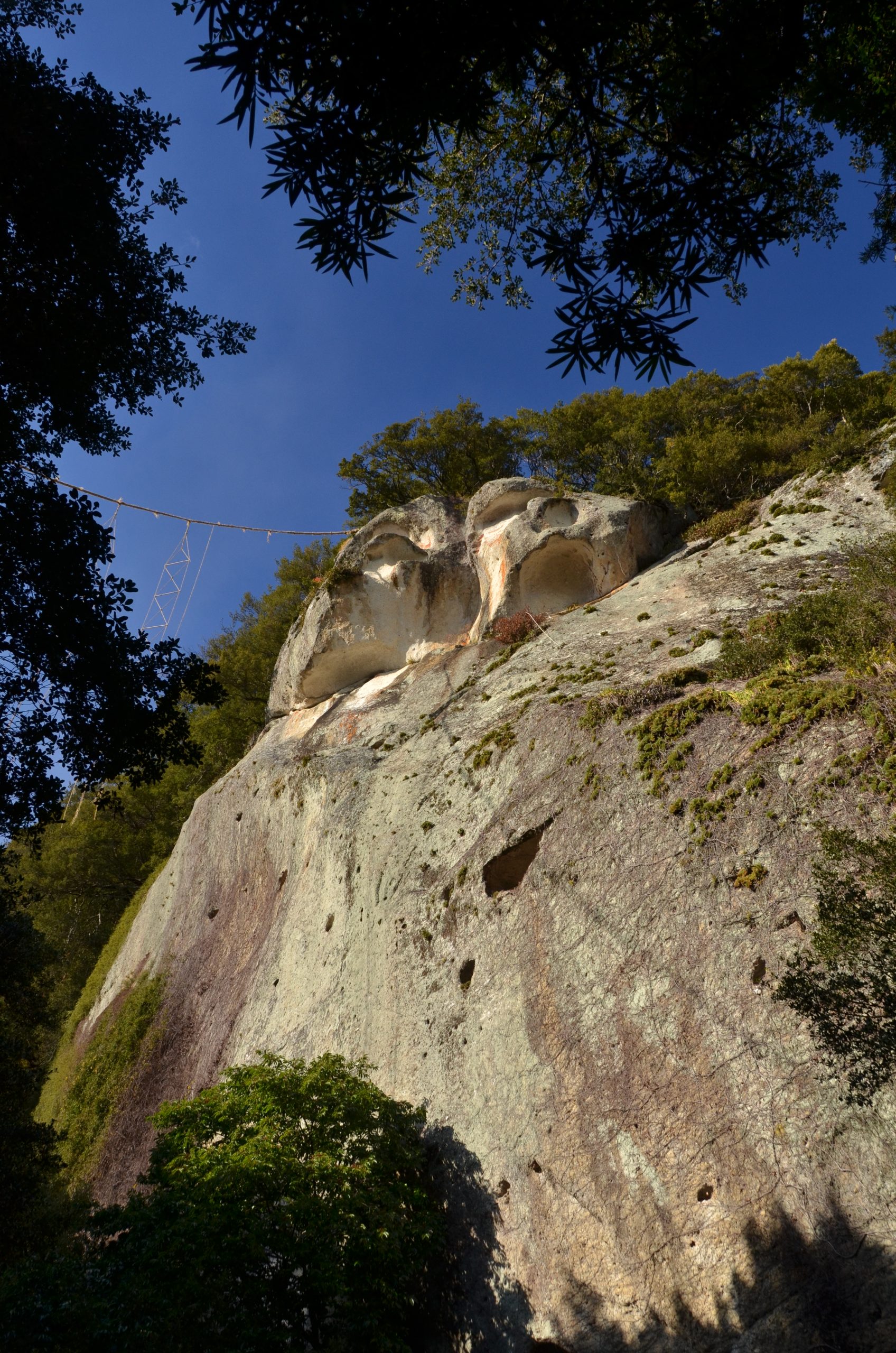
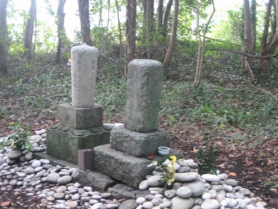
Priest Tokuhon Monument and Ebisu Statue
Here stands a monument to commemorate Priest Tokuhon as well as a statue for Ebisu, the Japanese god of fishermen and luck. There used to be an inn and a tea house here where pilgrims and raftsmen would stop for a break.
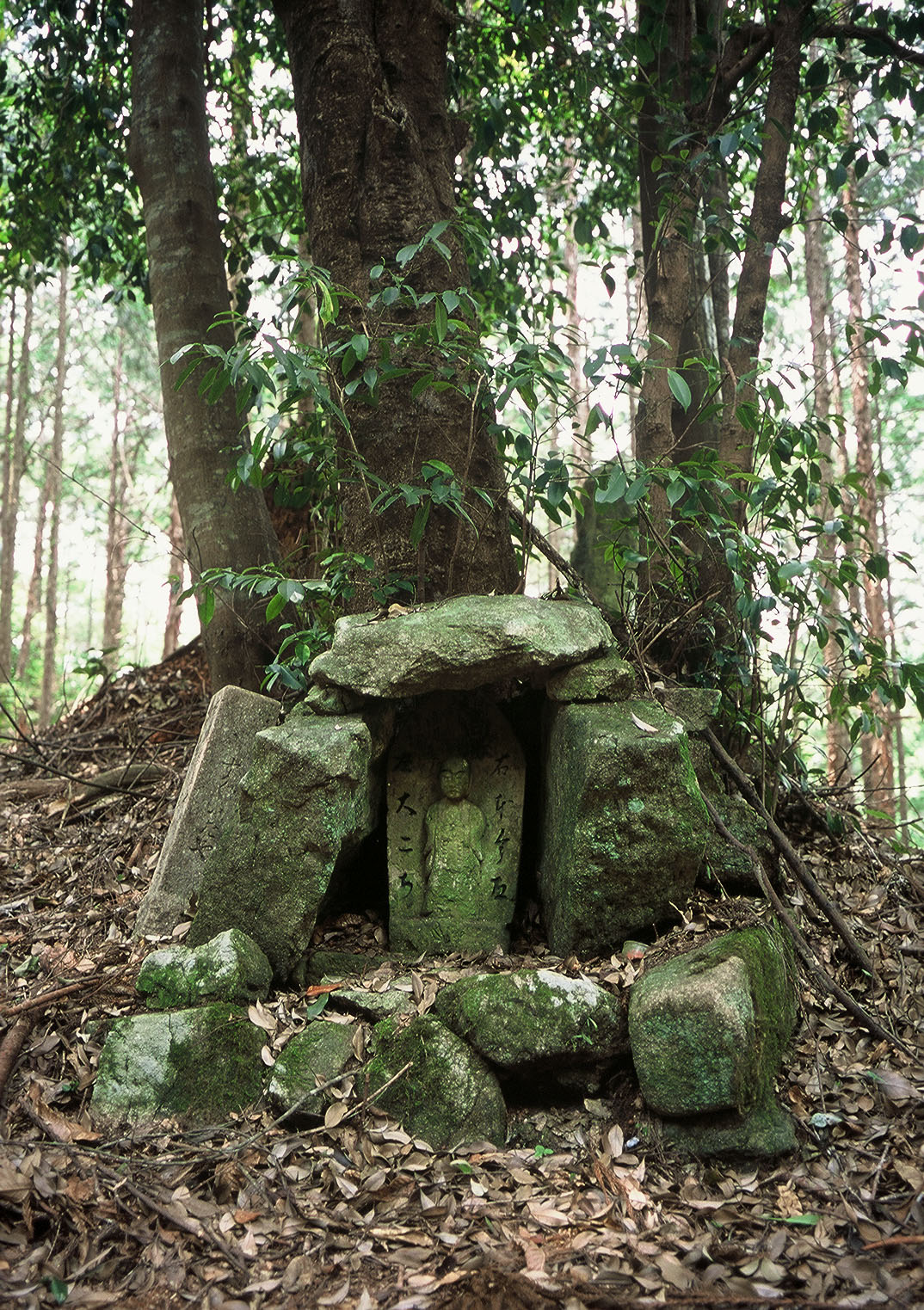
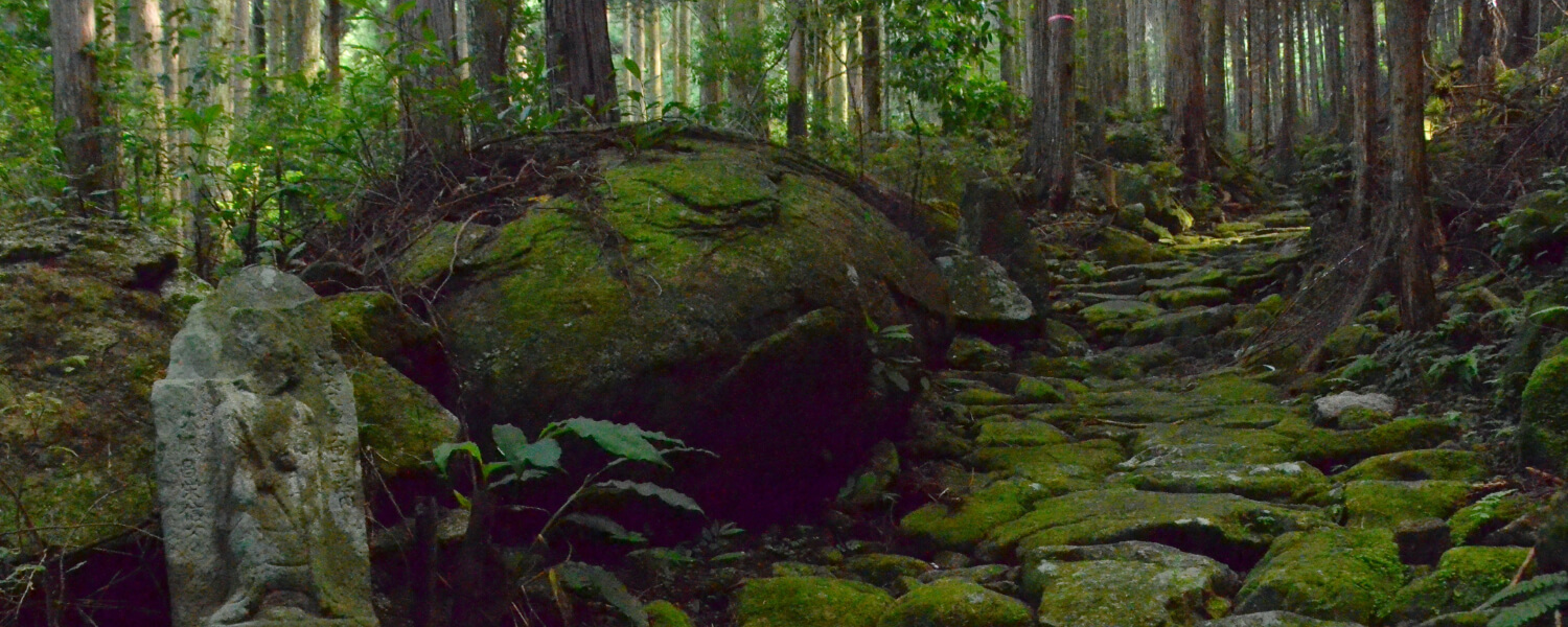
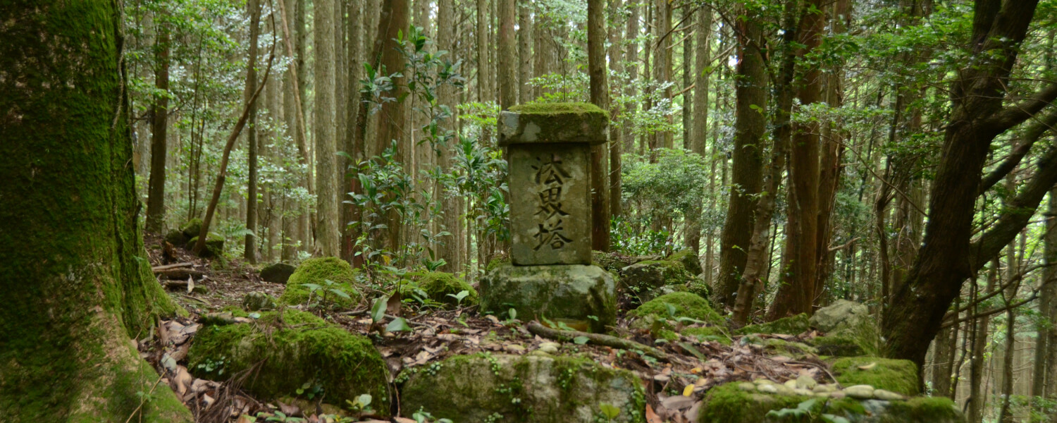
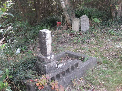
The Rokubu Grave
In the woods along the coast stands a grave put up in the Edo period for a pilgrim who lost his life while journeying to pray at the Kumano Three Grand Shrines (Kumano Sanzan).
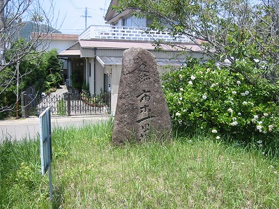
The Ichigi Milestone
There used to be one of these milestones on each side of the path, but one of them went missing during road construction works in 1962.

Water Deity Monument by the Beach
This area was very susceptible to seawater flooding into the town and fields, due to the accumulation of gravel near the river mouth. In a bid to protect themselves from these natural disasters, townsfolk put up this monument honoring the Deity of Water.
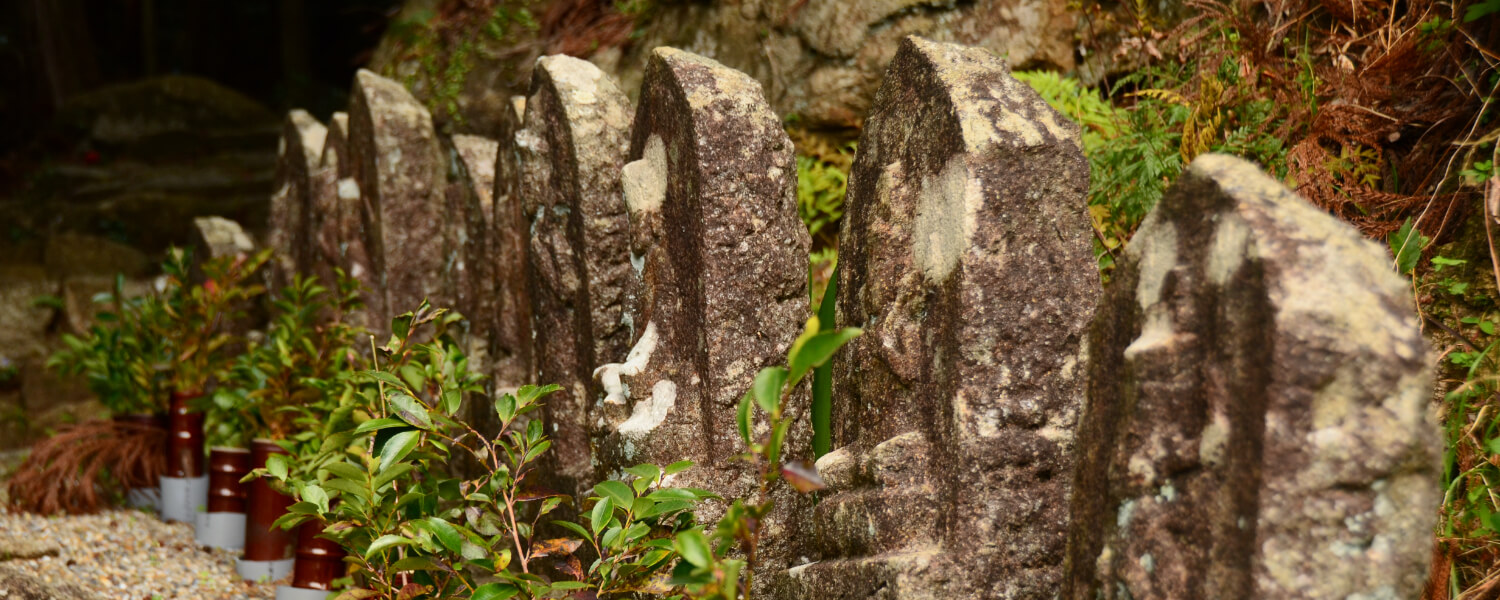
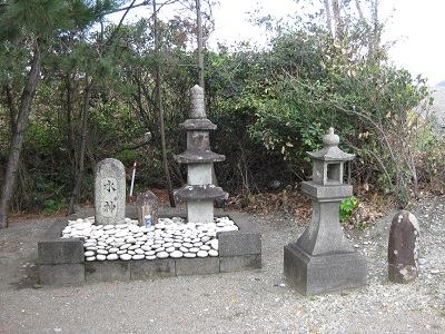
Pilgrim Gravestones
In the old days, there were no bridges across the rivers flowing into the Sea of Kumano, so pilgrims had to run across the shallow water at the river mouth between waves. Here at Shiwara Gawajiri, there stands a memorial monument to those who did not make it across and were claimed by the waters.

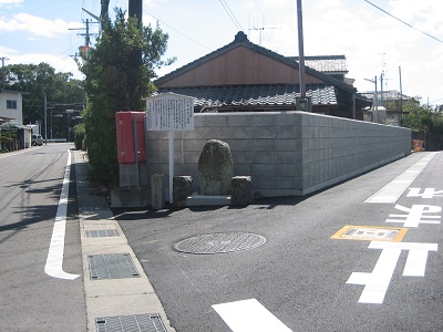
The Arima Signpost
This signpost marks a fork in the road from Ise: leftwards for the Hama-kaido (Beach Route) to Shingu; rightwards for Hongu-do to Hongu. Please be warned that the road to Hongu, up to the Konogi checkpoint, is extremely difficult.
Route map
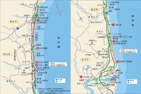
Other routes on the Kumano Kodo Iseji Trail