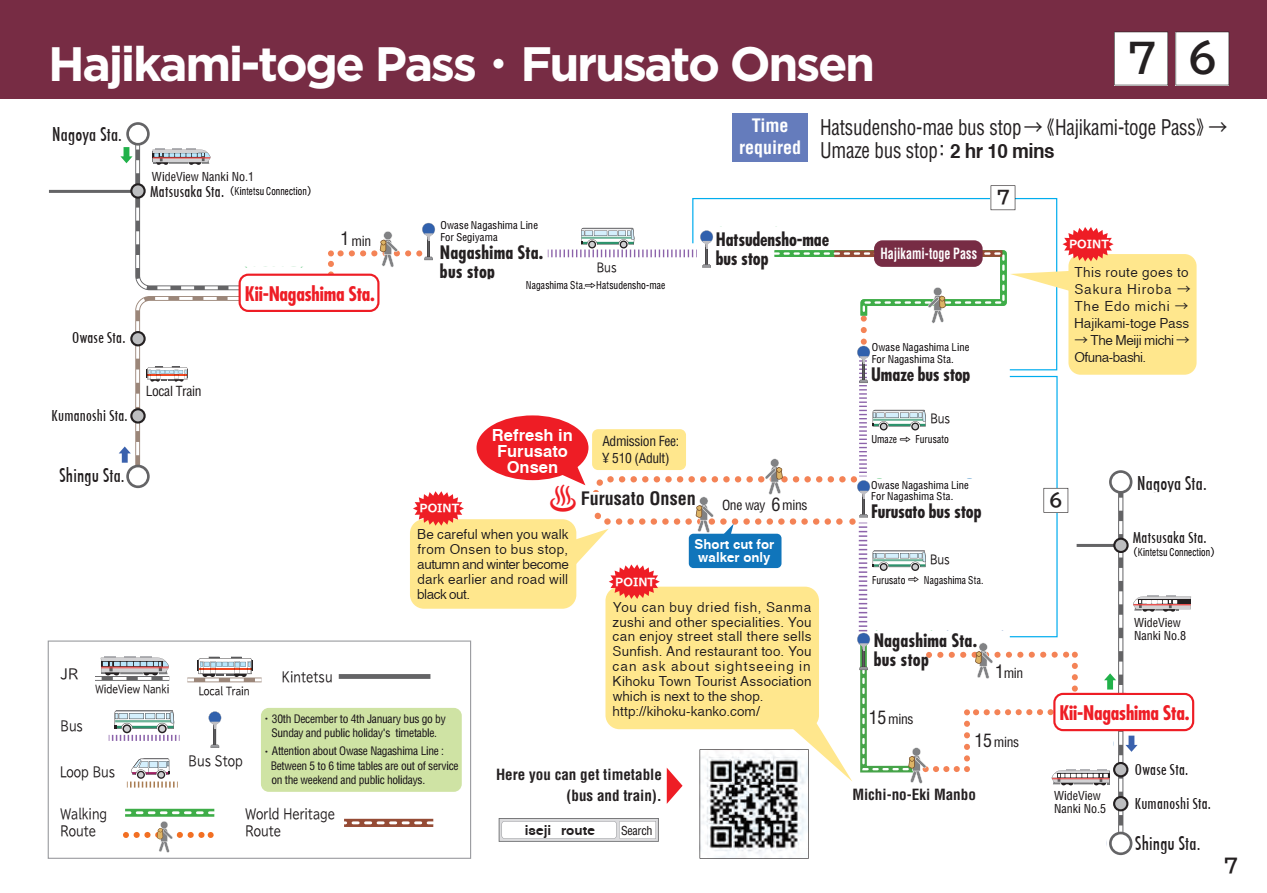
7 Hajikami-toge Pass
Hajikami-toge Pass
Walking time
About 1 hour and 50 minutes
Distance
Around 3.5km (Starts and ends at Hajikami Sakura Hiroba, loops around the pass)
sea level
147m
Route features
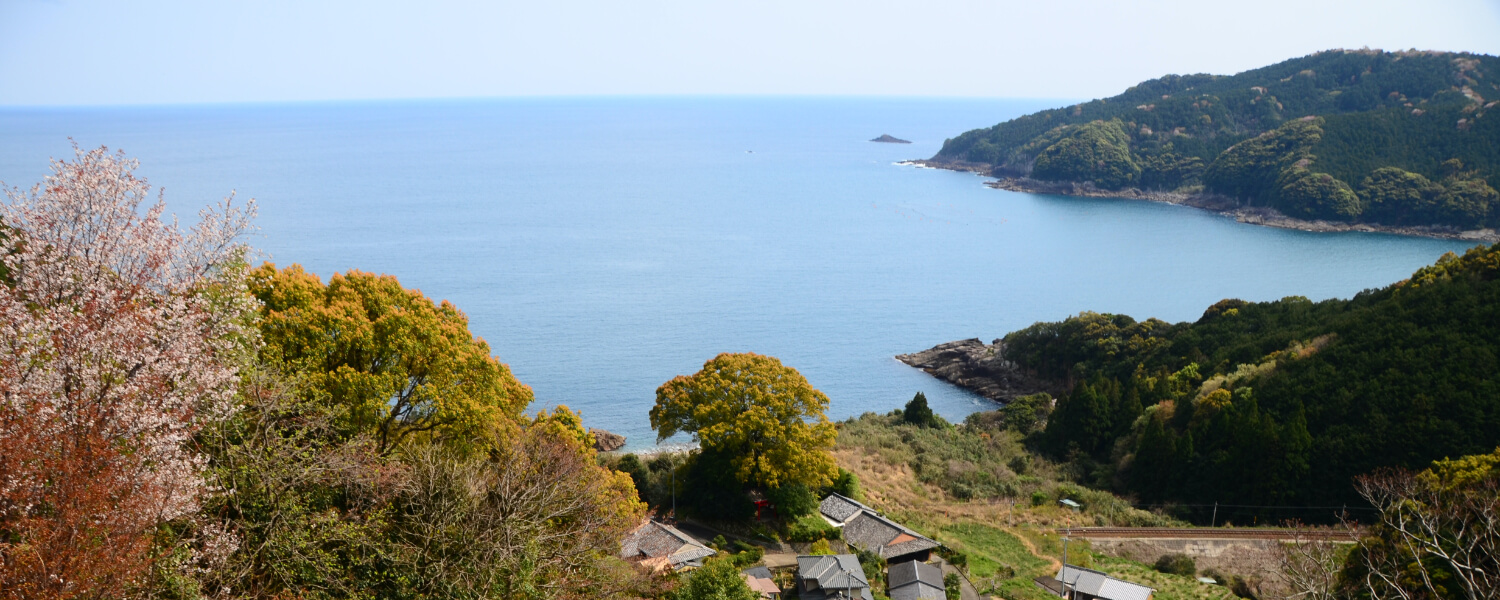
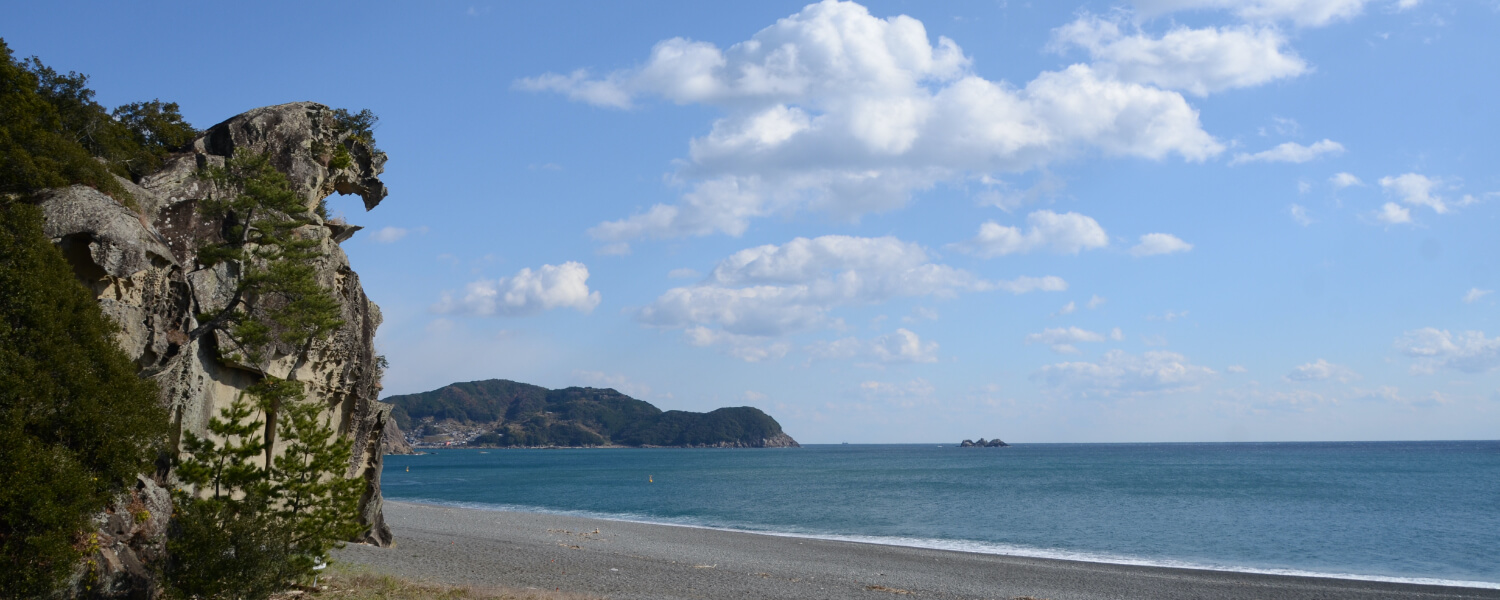
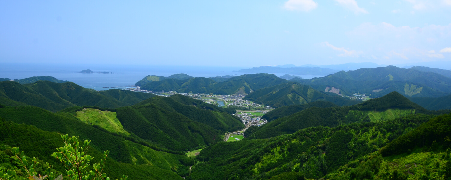
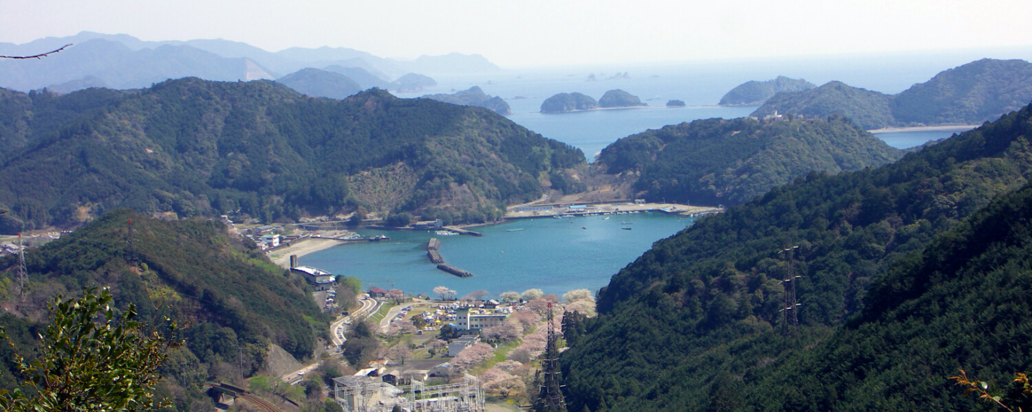
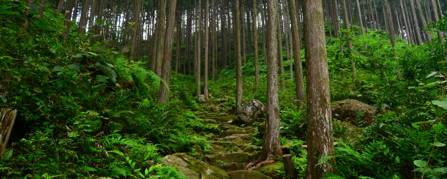
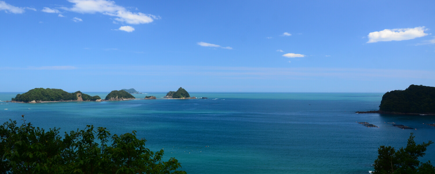
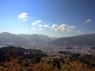
The name of the Hajikami-toge Pass originated from another word for “salamander” in Japanese. Both the Edo and Meiji routes meet at the Hajikami-toge Pass. Both are rather easy routes to walk, but the Edo route is slightly tougher. The observation deck at the pass overlooks Ki-no-Matsushima, which is a scenic view of a cluster of islands in the sea nearby.
Route highlights
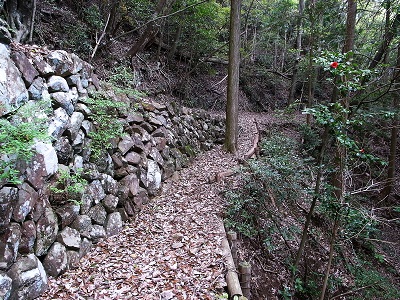
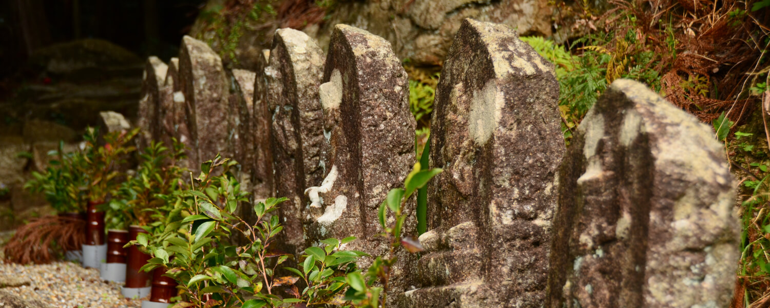
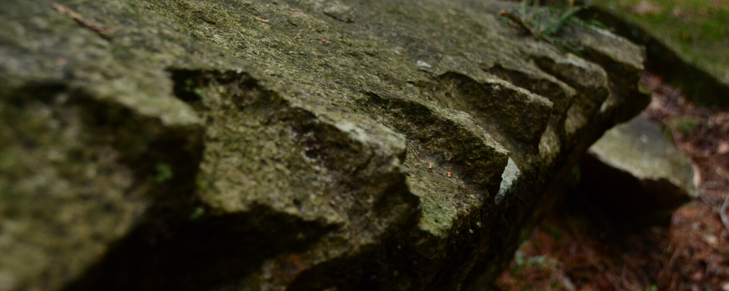
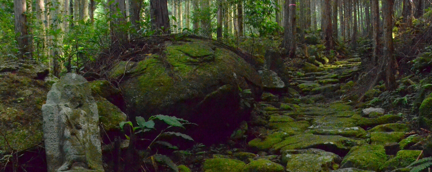
Stone Walls on Meiji Route
There are magnificent stone walls that remain standing from the past found at various spots along the Meiji route.
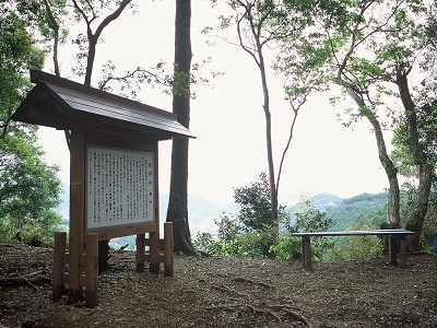
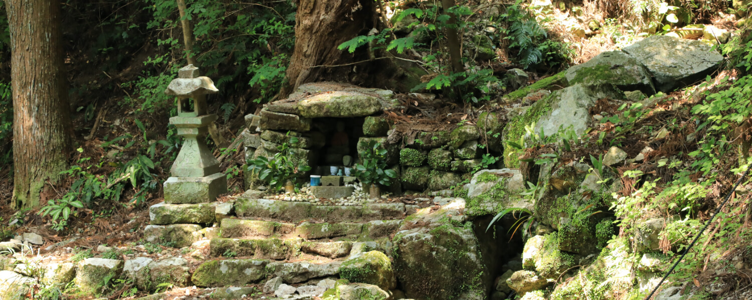
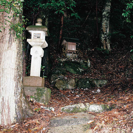
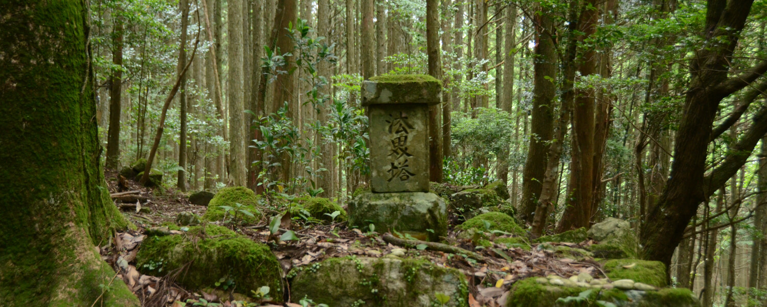
Hajikami-toge Pass
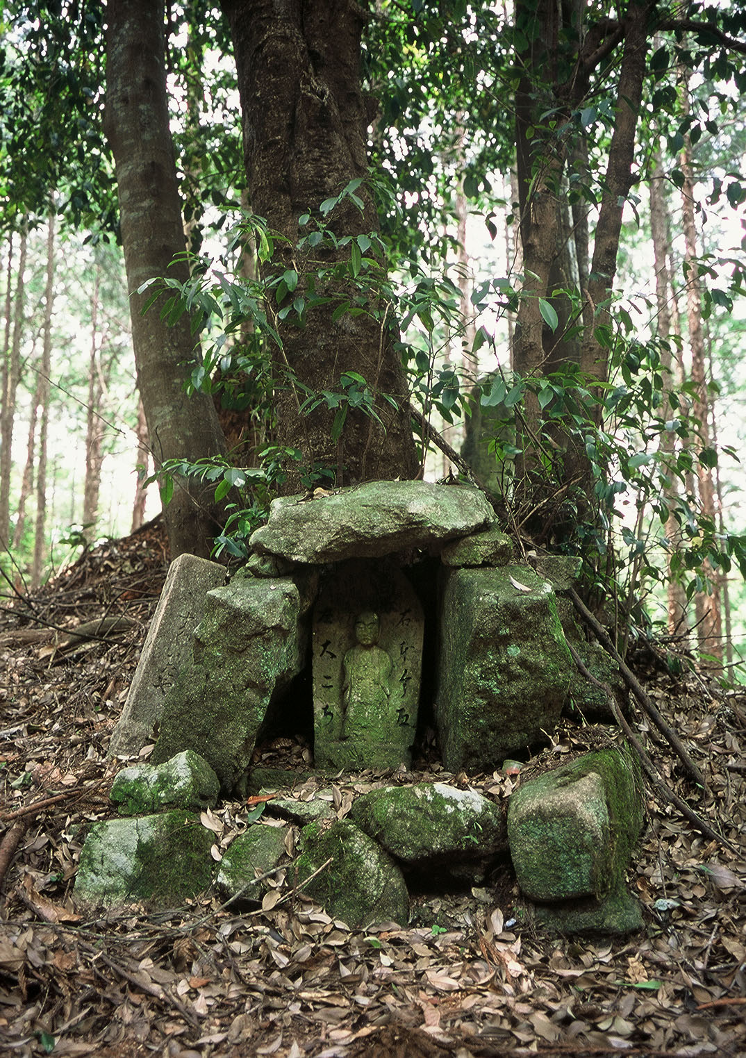
This has an elevation of 147m. There used to be a teahouse here, and its stone foundations still remain.
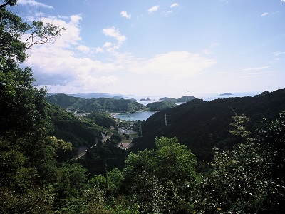
Observatory Deck
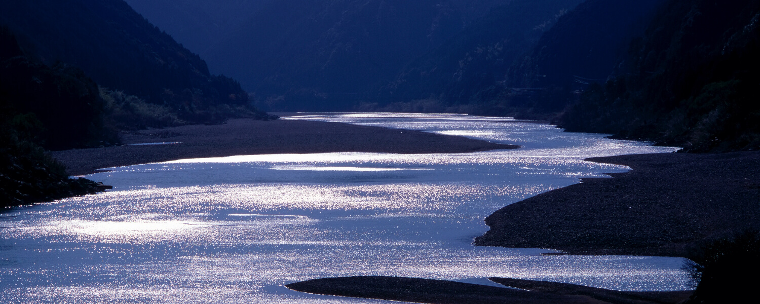
This overlooks the beautiful view of the various islands of Ki-no-Matsushima dotting the waters of the Kumano Sea. You can even see Shima Peninsula from here on clear days.
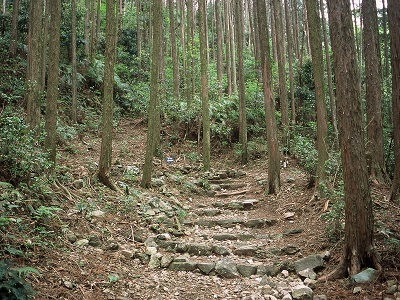
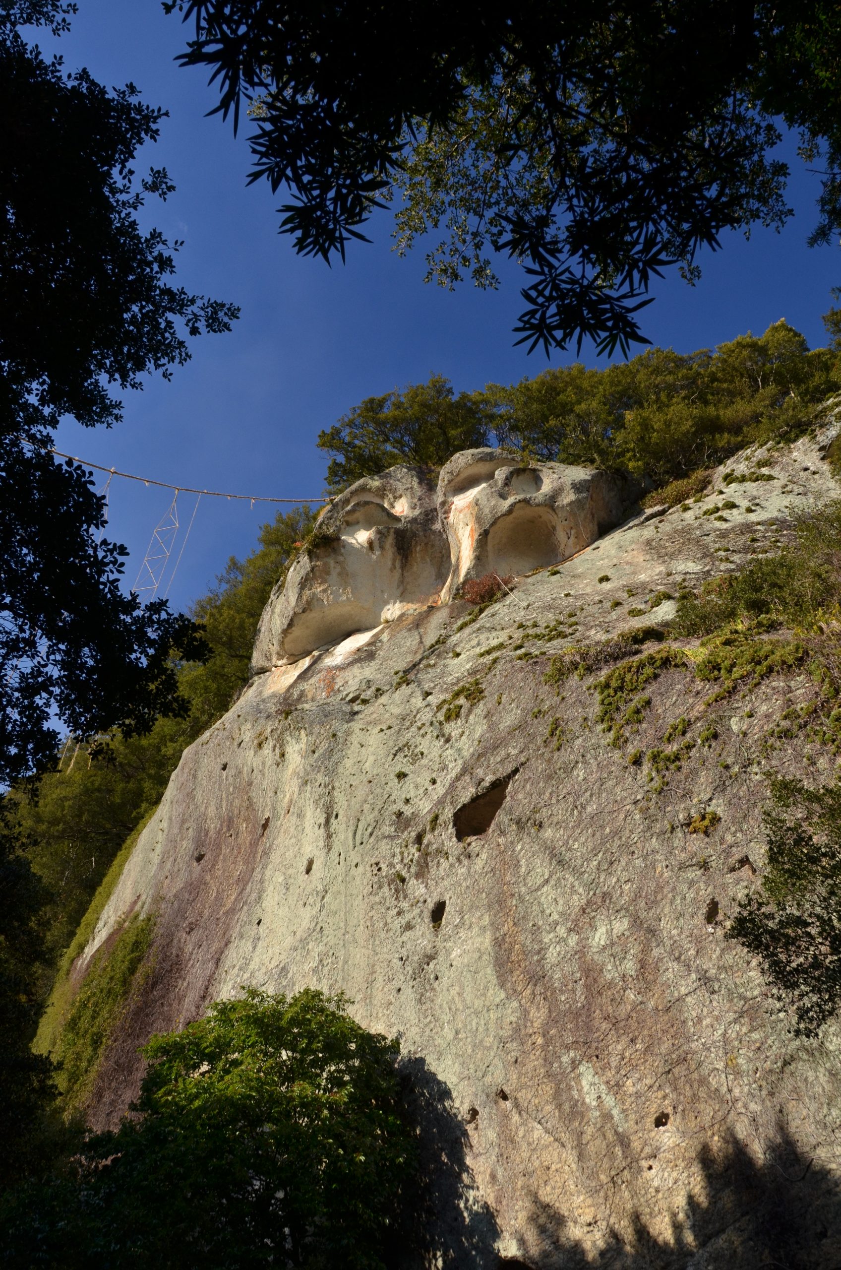
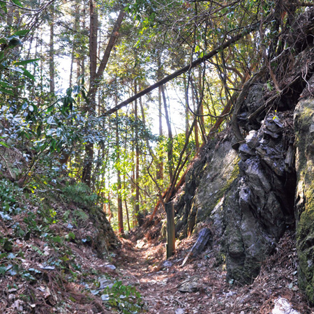
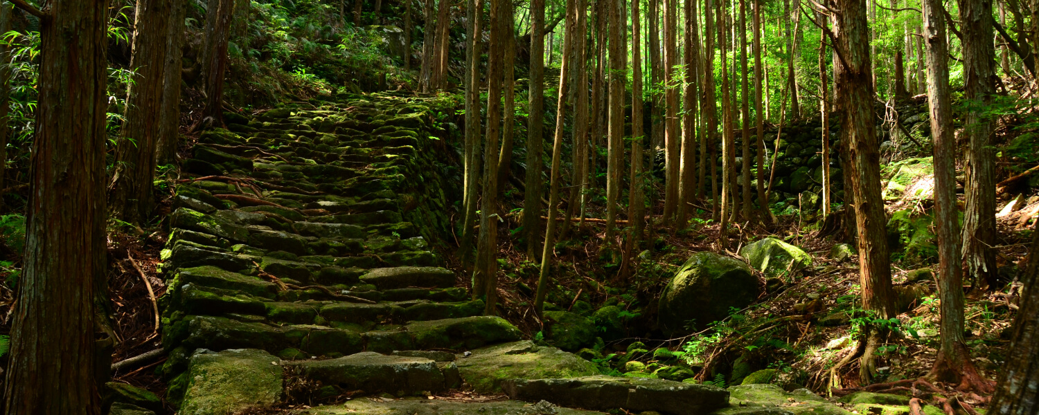
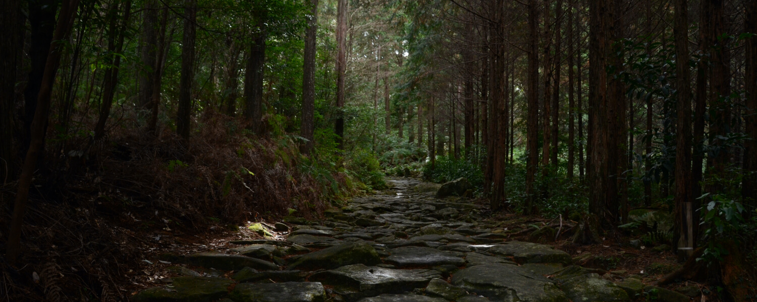
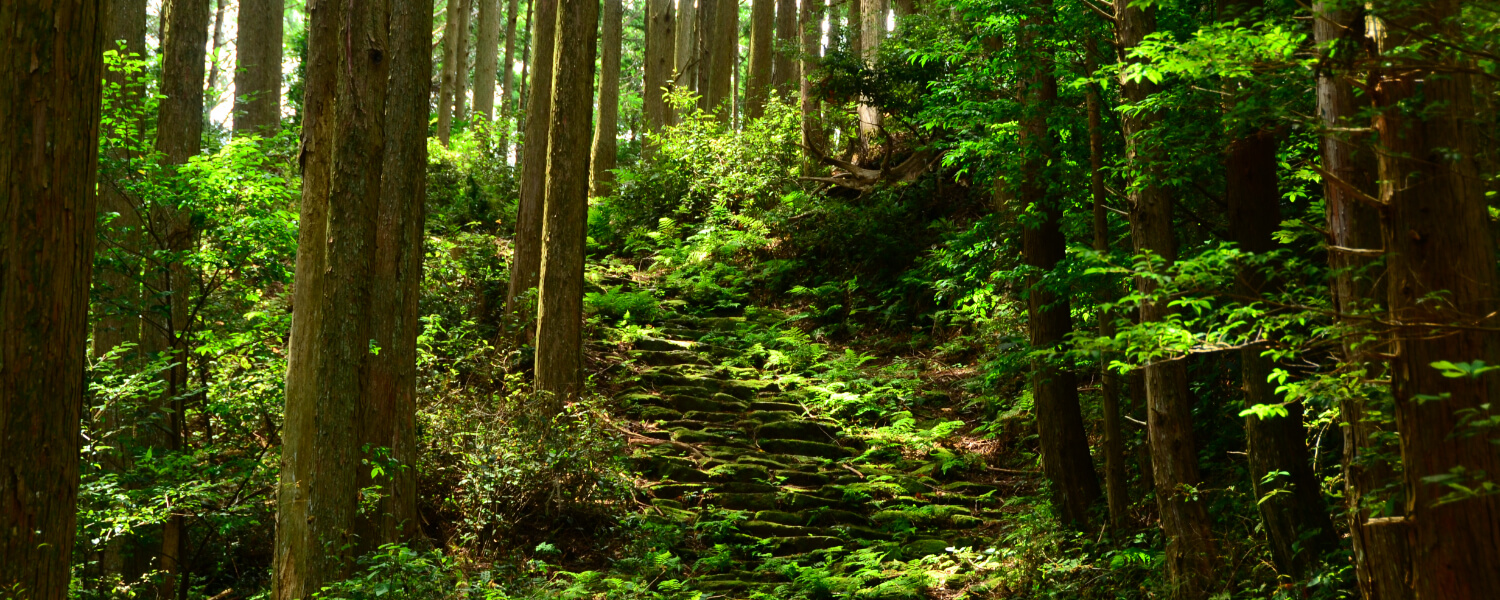
Edo Route
This is a flight of stone steps with stones only lining the edge of each step. Various spots where the stream cuts across the path remain, and these are thought to be for drainage purposes, or for travellers to wash their straw shoes.
Route map

Day trip to Kumano Kodo by trains and buses
Road trip to Kumano Kodo
距離 約3.5km(始神さくら広場発着、峠折り返し) 歩行時間 2時間 駐車スペース【三野瀬駅/発電所前バス停側】○始神さくら広場(駅から徒歩30分/バス停から徒歩すぐ)
【船津駅/馬瀬バス停側】○国道42号線沿いの用水池の向かい駐車場(駅から徒歩50分/バス停から徒歩10分)
◆マイカーで来訪での歩きイメージ◆
Aパターン
START 始神さくら広場に駐車
⇓
三野瀬方面~船津/馬瀬方面へ歩く
⇓
【船津駅】または《馬瀬バス停》
⇓【列車】or《バス》
【三野瀬駅】または《発電所前バス停》
⇓
GOAL 駐車場に戻る
Bパターン
START 用水地の向かいに駐車
⇓
【船津駅】または《馬瀬バス停》
⇓【列車】or《バス》
【三野瀬駅】または《発電所前バス停》
⇓
三野瀬方面~船津/馬瀬方面へ歩く
⇓
GOAL 駐車場に戻る
Other routes on the Kumano Kodo Iseji Trail