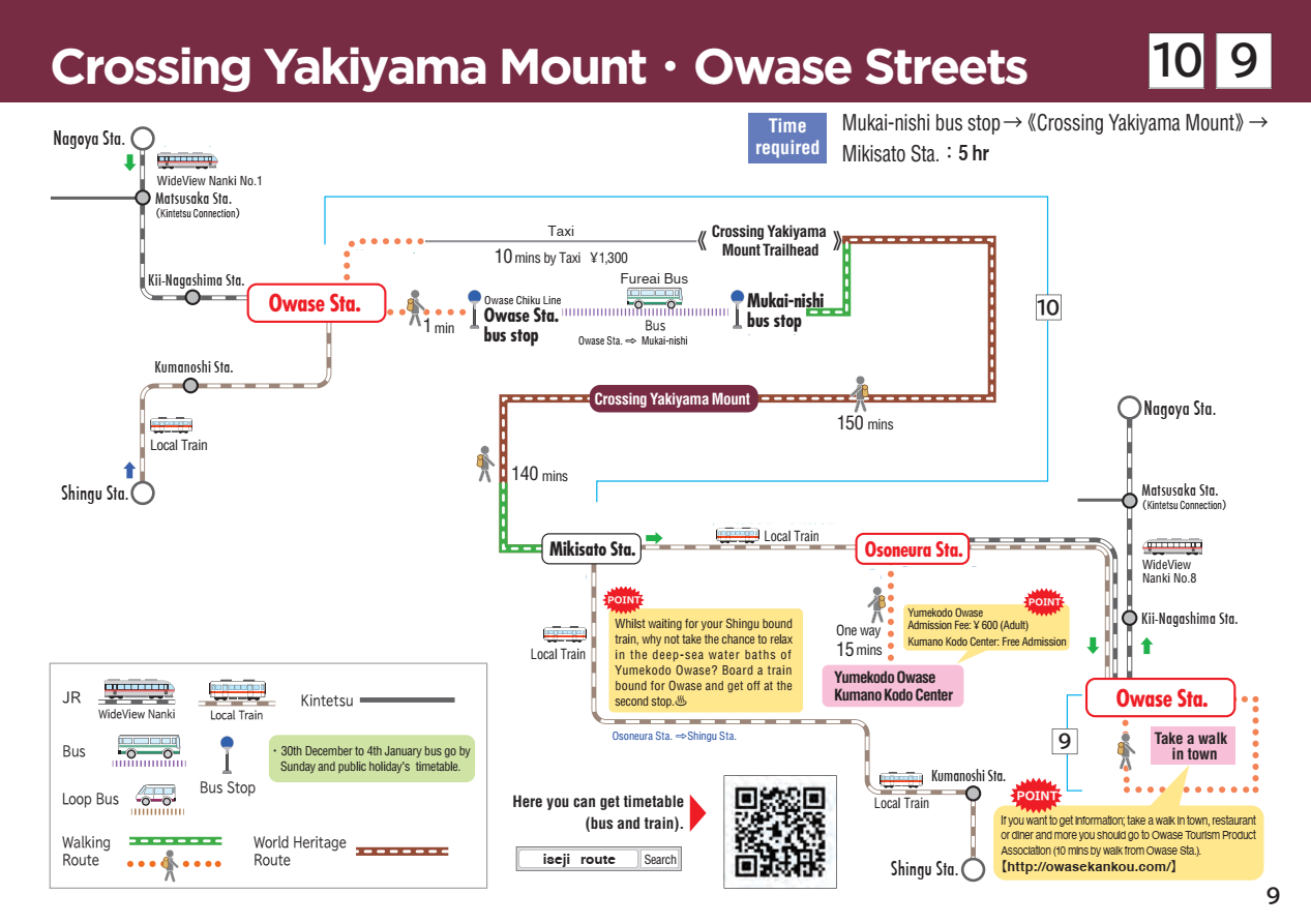
10 Yakiyama-toge Pass
Yakiyama-toge Pass
Walking time
About 5 hours
Distance
Around 10.1km (From Kumano Kodo Center to JR Mikisato Station)
sea level
647m
Route features
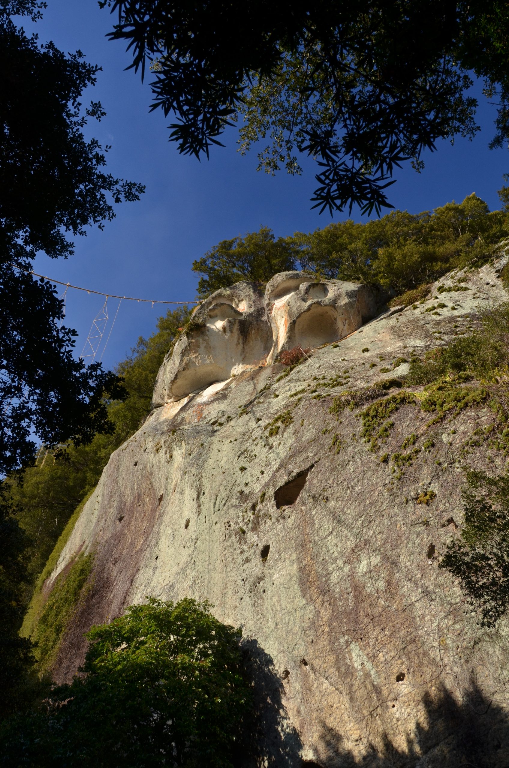
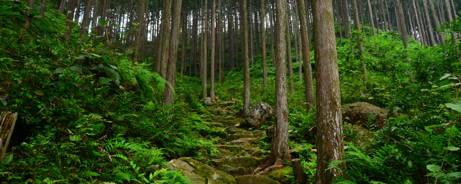
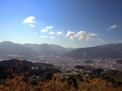
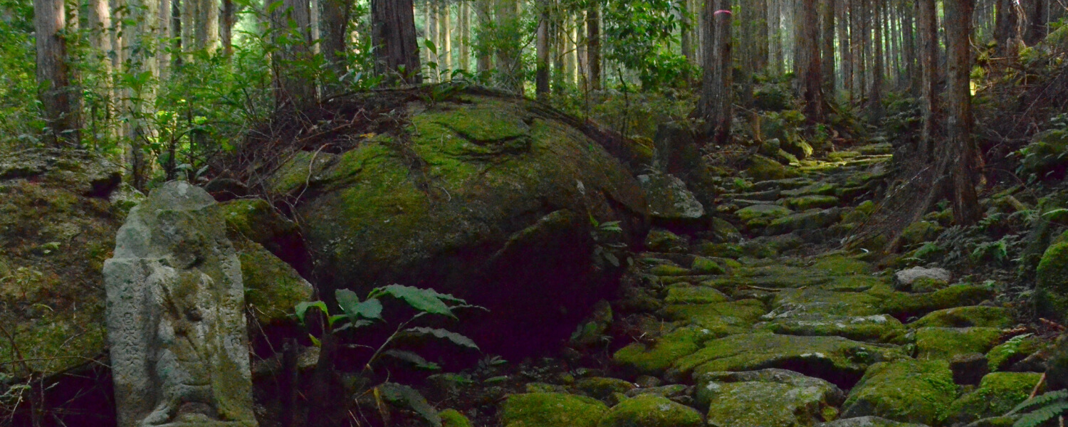
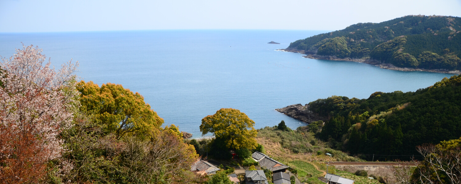
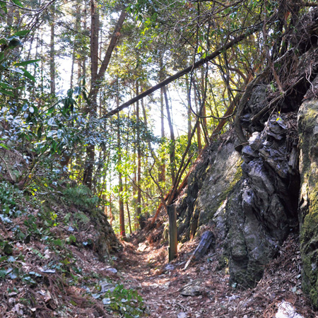
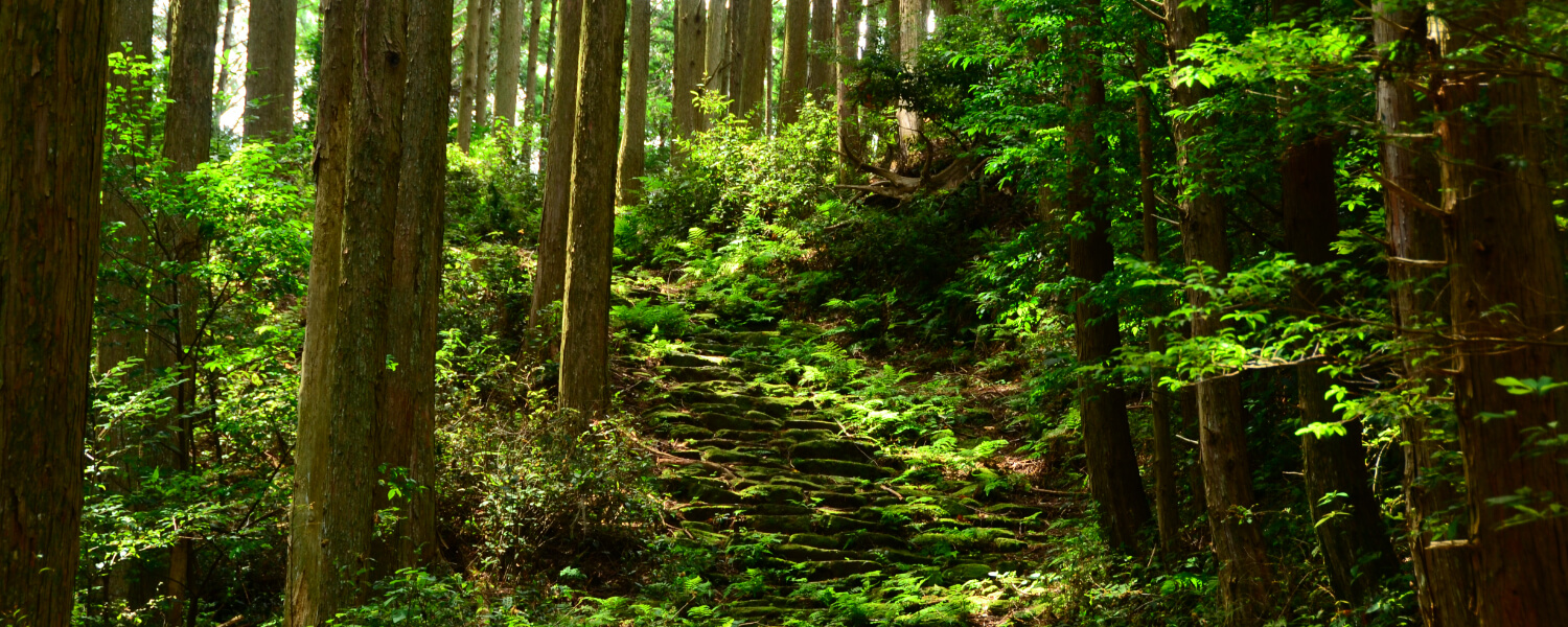
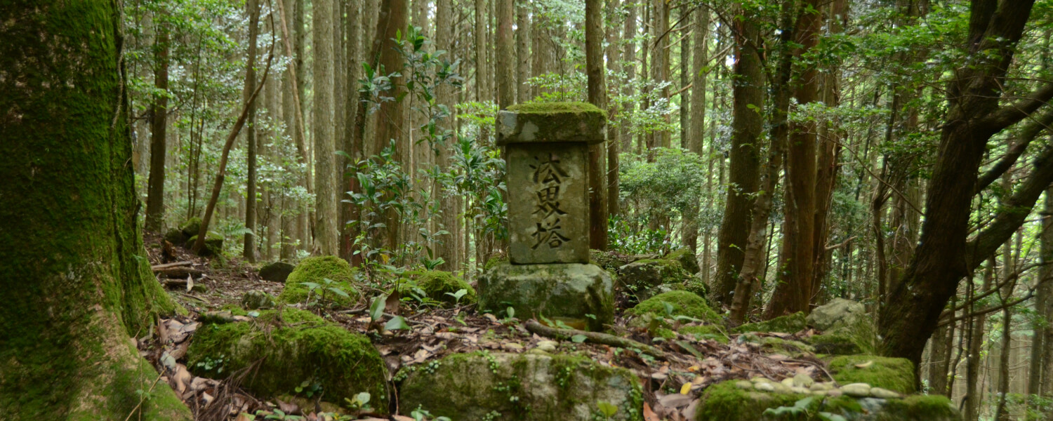
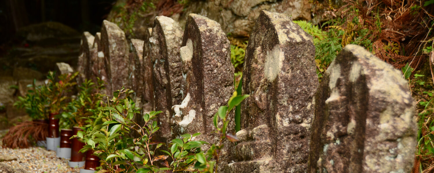
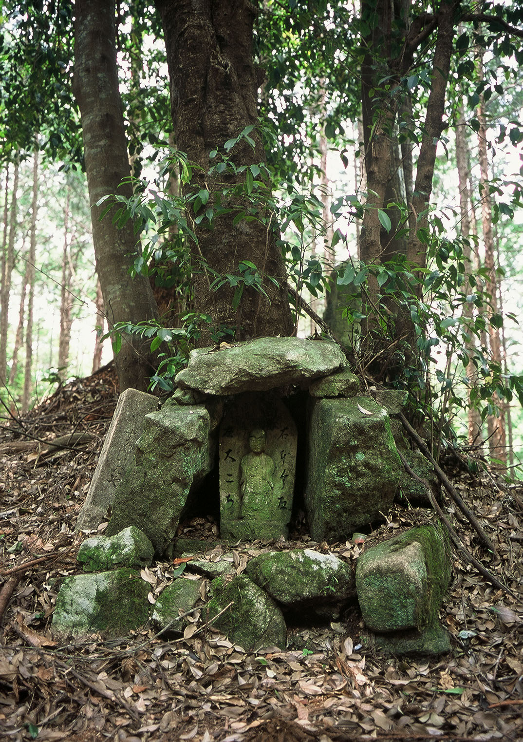
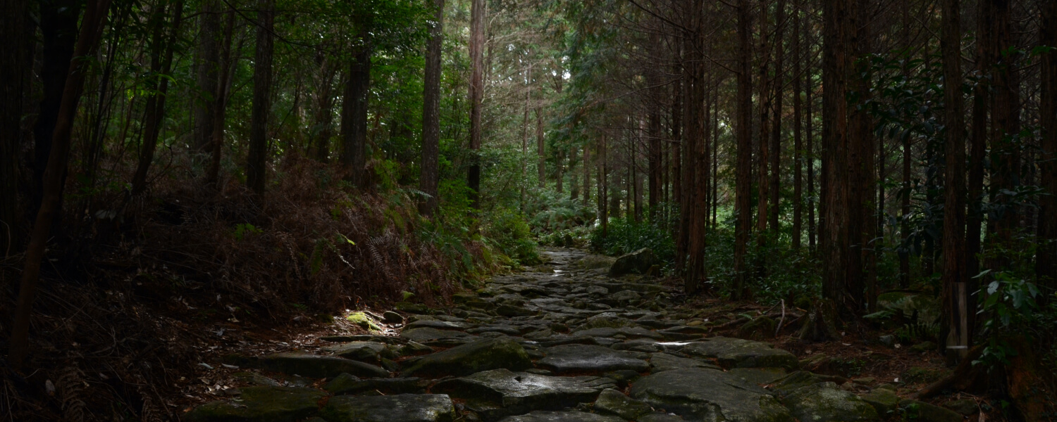
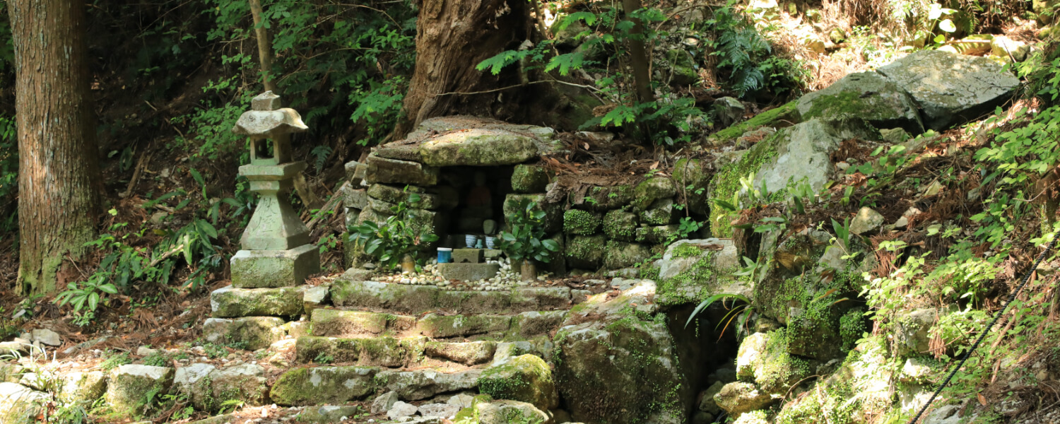
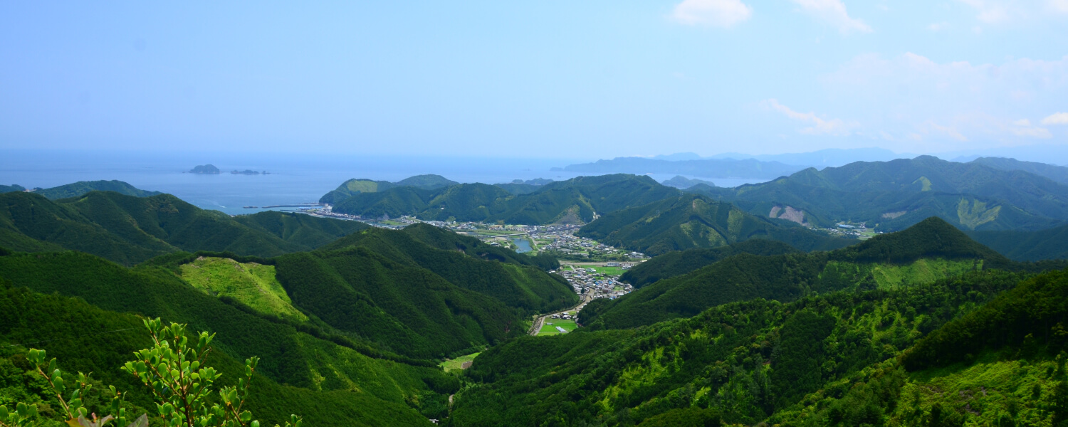
This is the most grueling part of the Saigoku pilgrimage, and pilgrims were often at risk of attacks by bandits and wolves here back in the day. Upon crossing Mount Yakiyama, hikers will be met with many stone buddhas all around. This route has many historical sites and beautiful views, but the ascent and descent of this route is extremely steep. Seasoned and confident hikers can try taking this route and experience for themselves the tough journey that the pilgrims had to take back then.
Route highlights
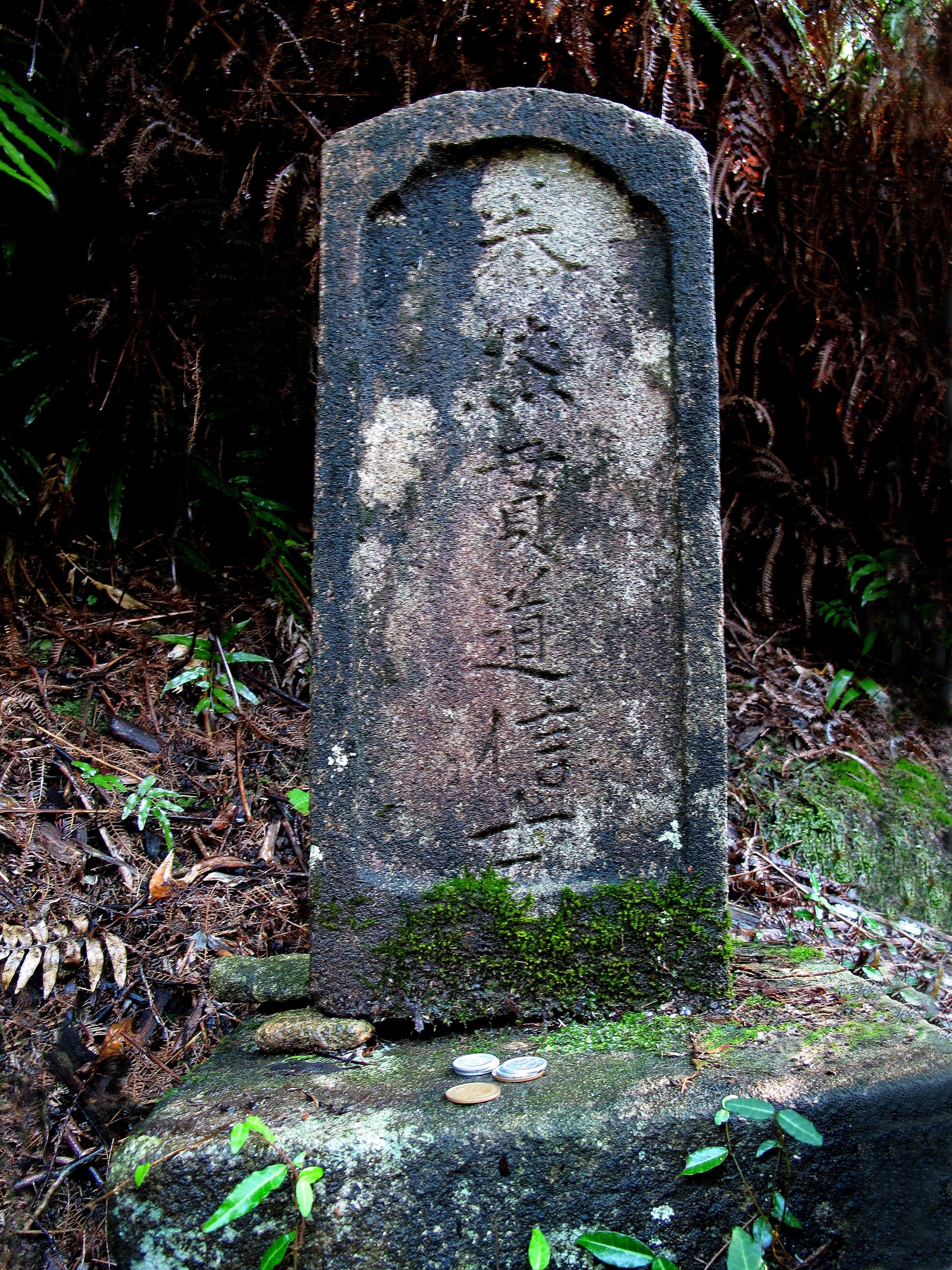
Pilgrim Gravestones
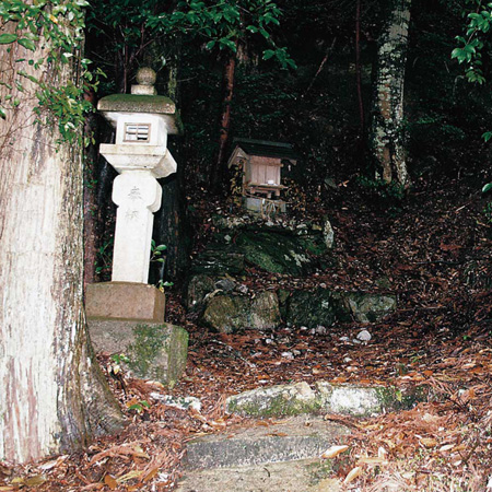
These gravestones were erected by the locals for pilgrims who did not survive the treacherous journey, with the first belonging to a pilgrim from Ibaraki Prefecture, the second belonging to a pilgrim from Iki Island of Nagasaki Prefecture, and the third belonging to a pilgrim from Hiroshima Prefecture.
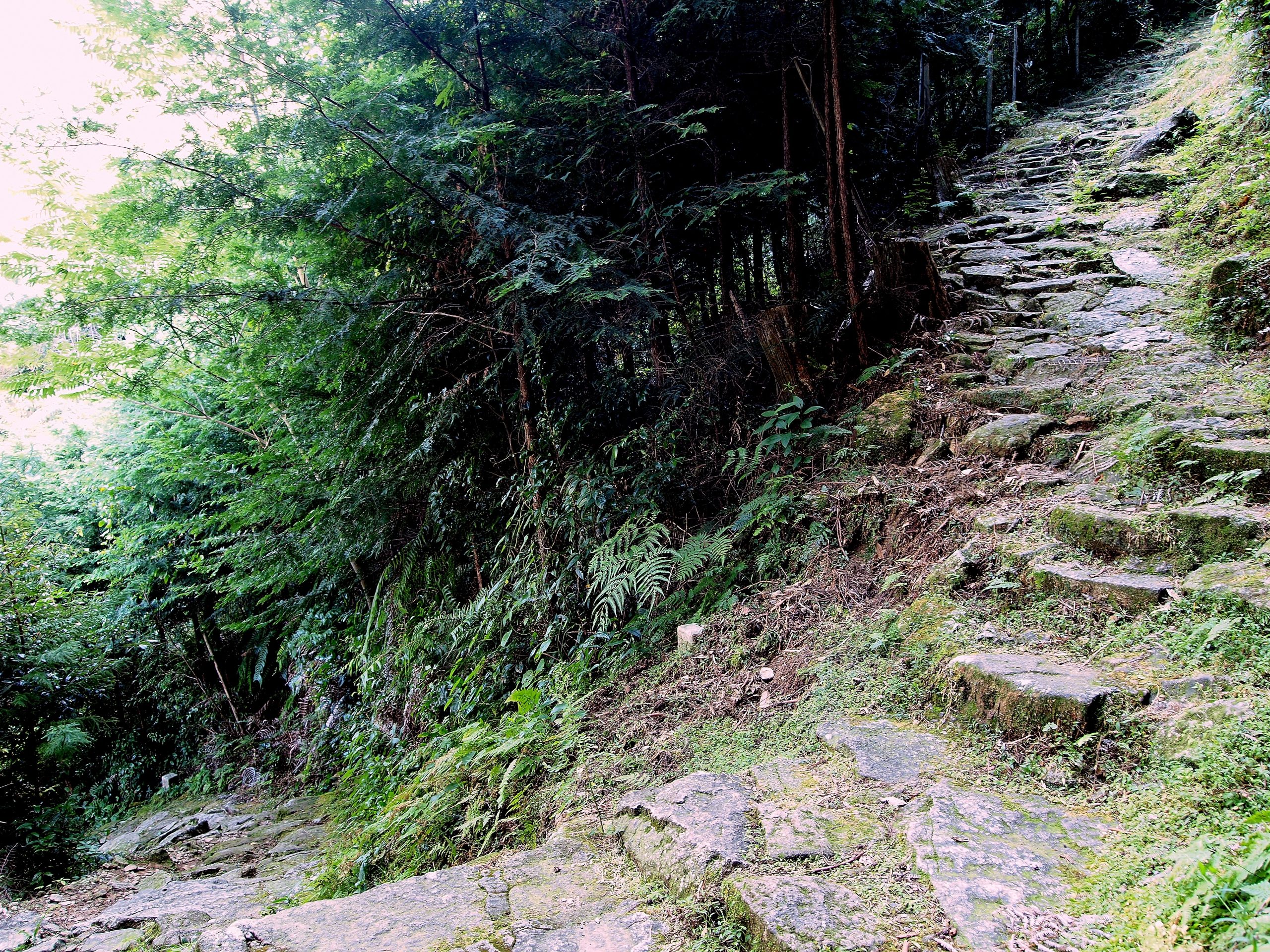
Nanamagari
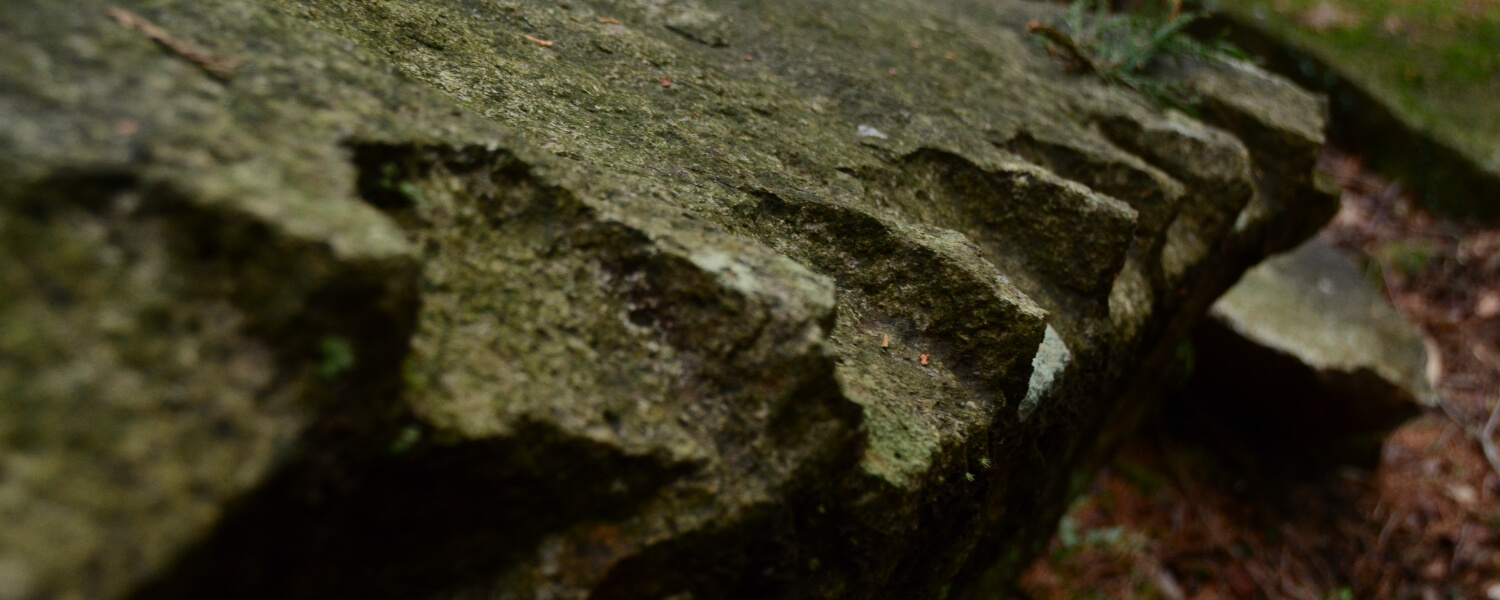
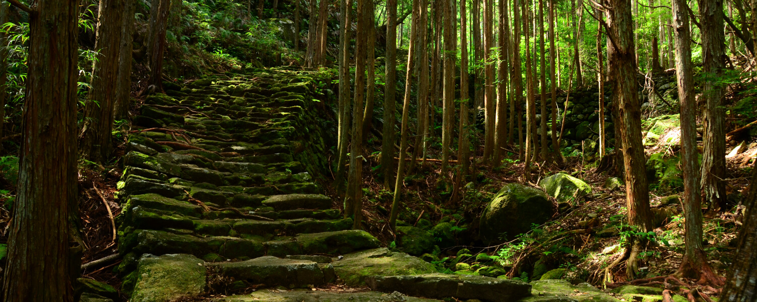
This is the steepest segment of the entire route, with endless flights of steep winding steps.
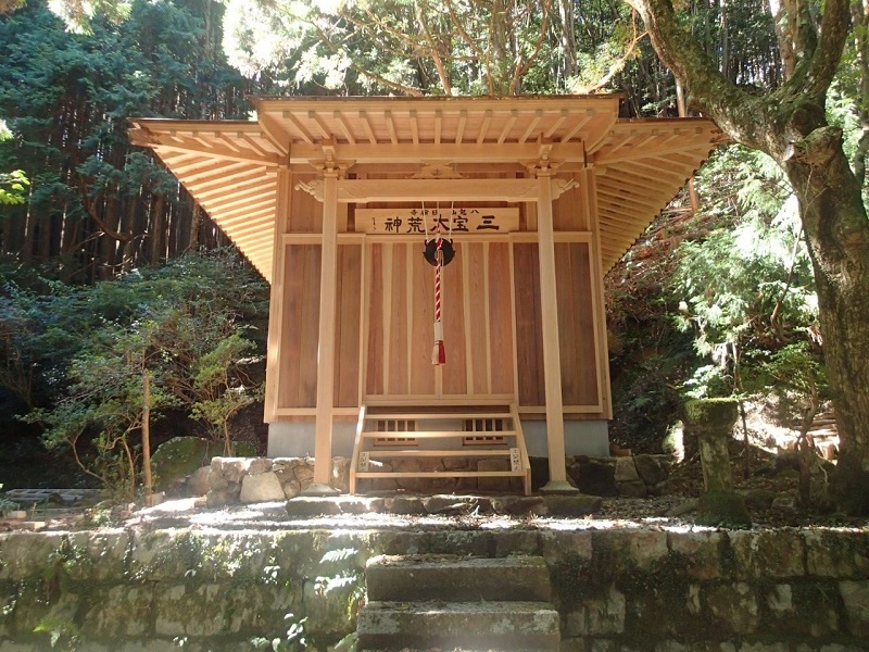
Kojindo and the Grave of Mampoin
Many pilgrims used to visit and pray here before arriving at the first stop of the Saigoku Kannon Pilgrimage. The grave of Mampoin, a yamabushi (a mountain ascetic hermit) who suppressed bandits who plagued the area, can be found nearby.
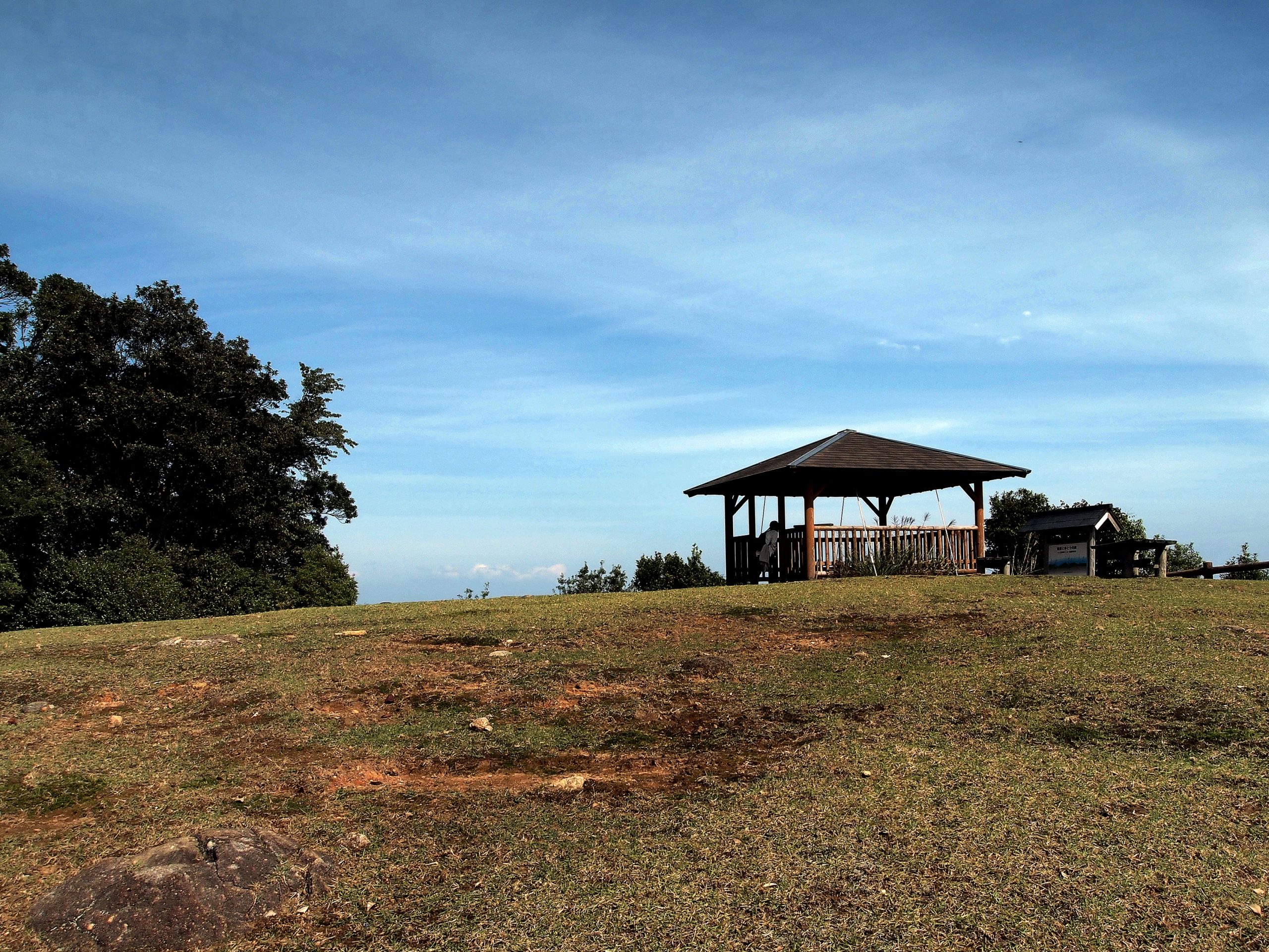
Sakura no Mori Hiroba
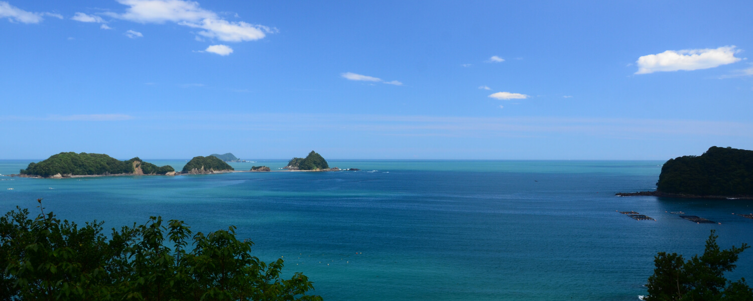
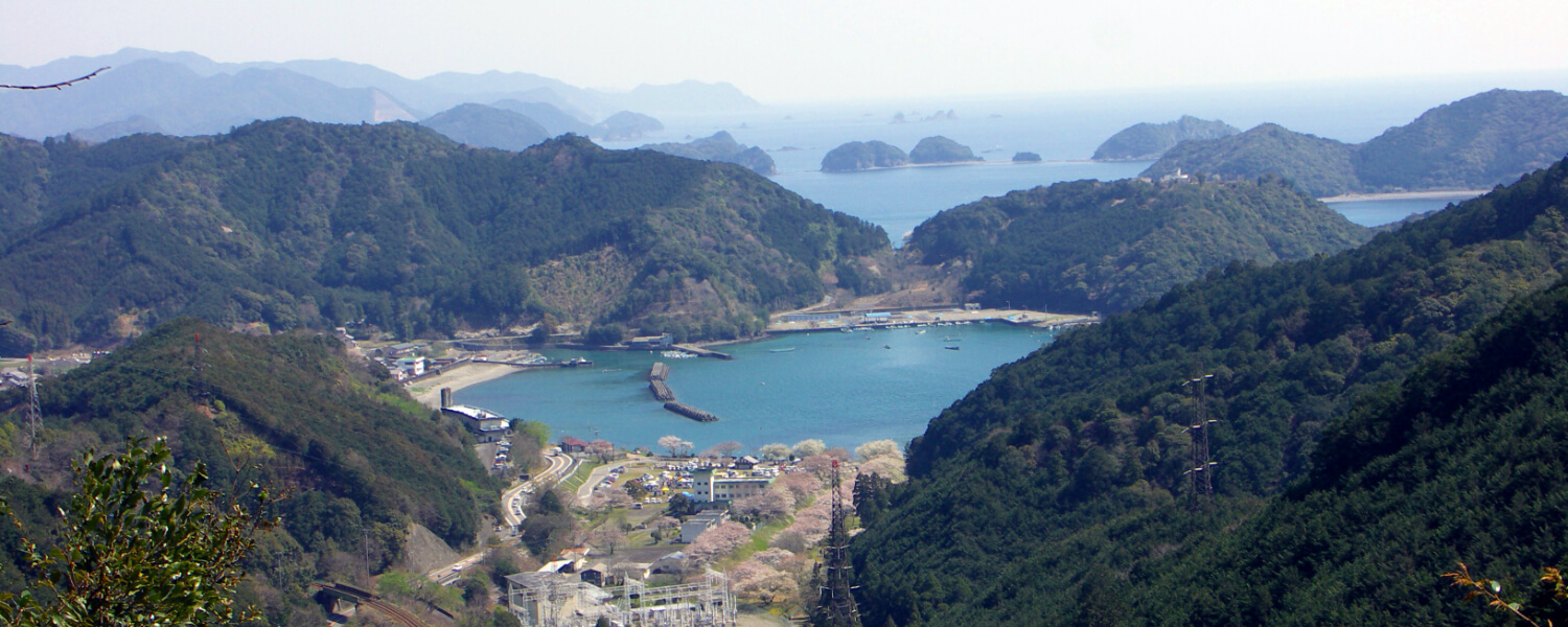
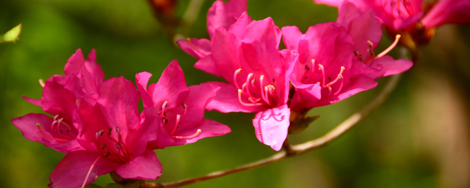
There is a pavilion here in the midst of numerous cherry blossom trees, from which you can see Shima Peninsula and Mount Nachi on a clear day.
Road trip to Kumano Kodo
距離 約10km(熊野古道センター〜JR三木里駅) 歩行時間 5時間 駐車スペース【JR尾鷲駅側】○尾鷲駅タクシー乗り場の奥駐車場(駅から徒歩すぐ)
【JR三木里駅側】○三木里海水浴場駐車場※夏場有料1,000円(駅から徒歩15分)
◆マイカーで来訪での歩きイメージ◆
Aパターン
START 尾鷲駅に駐車
⇓
尾鷲方面~三木里方面へ歩く
⇓
【三木里駅】または《長柄バス停》
⇓【列車】or《バス》
【尾鷲駅】または《尾鷲駅バス停》
⇓
GOAL 駐車場に戻る
Bパターン
START 三木里海水浴場に駐車
⇓
【三木里駅】または《三木里バス停》
⇓【列車】or《バス》
【尾鷲駅】または《尾鷲駅バス停》
⇓
尾鷲方面~三木里方面へ歩く
⇓
GOAL 駐車場に戻る
Other routes on the Kumano Kodo Iseji Trail

