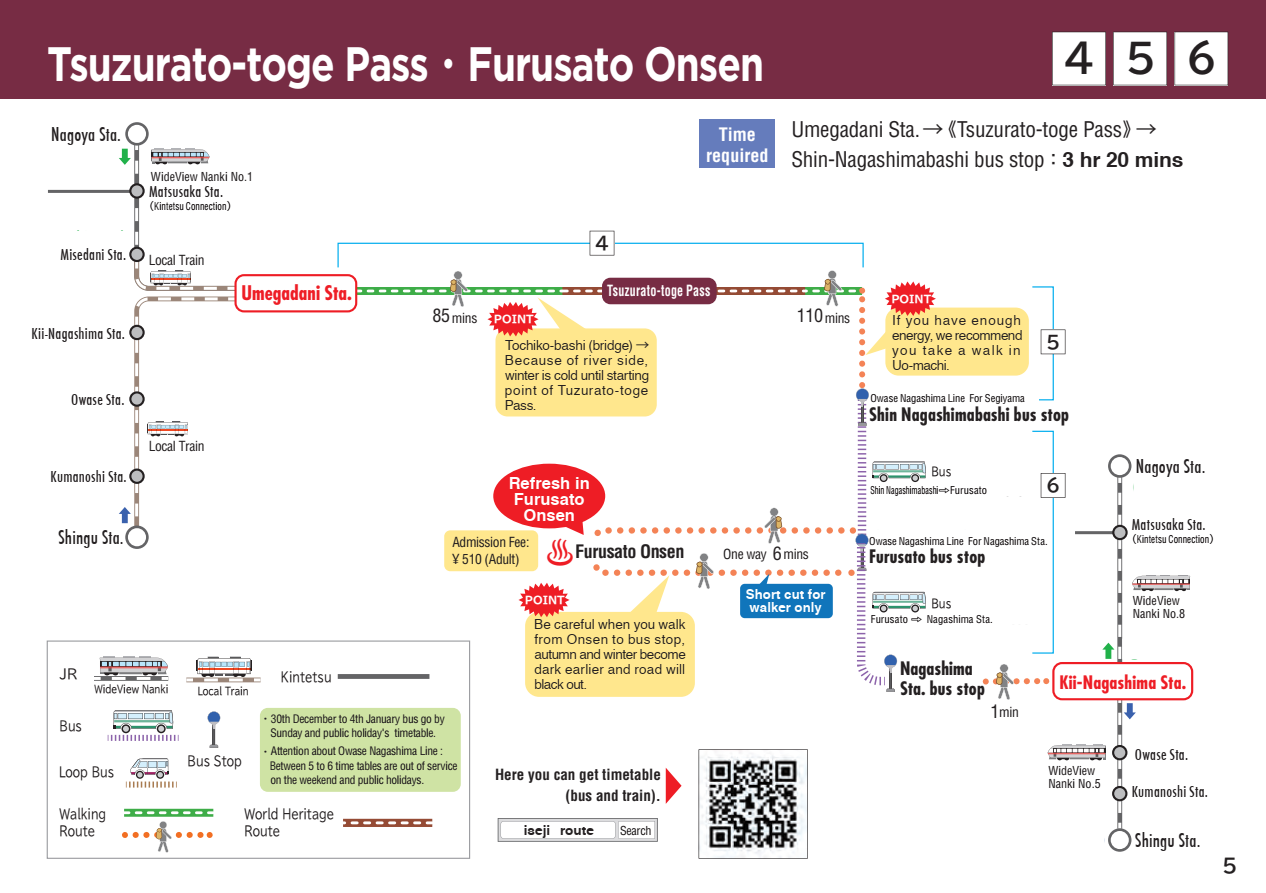
4 Tsuzurato-toge Pass
Tsuzurato-toge Pass
Walking time
About 4 hours
Distance
Around 9.5km (from JR Umegadani Station to JR Kii-Nagashima Station)
Route features
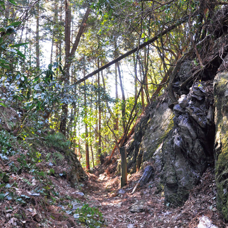
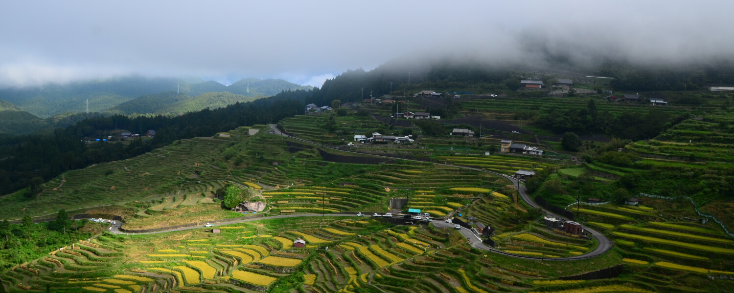
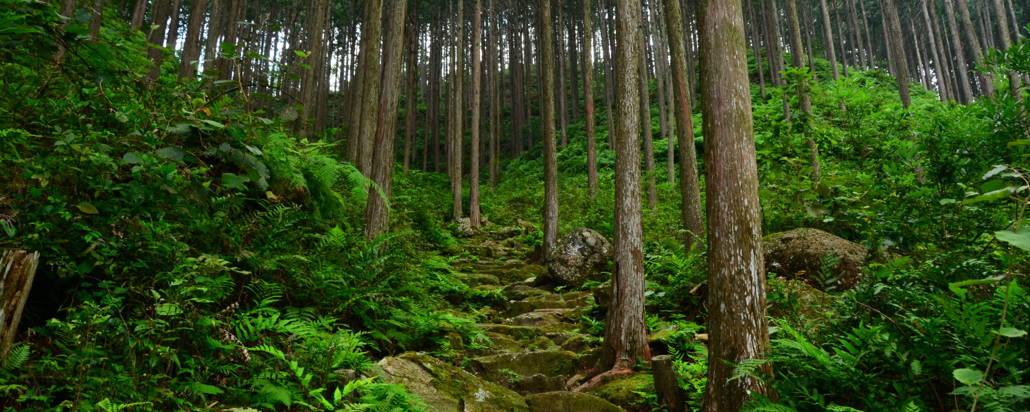
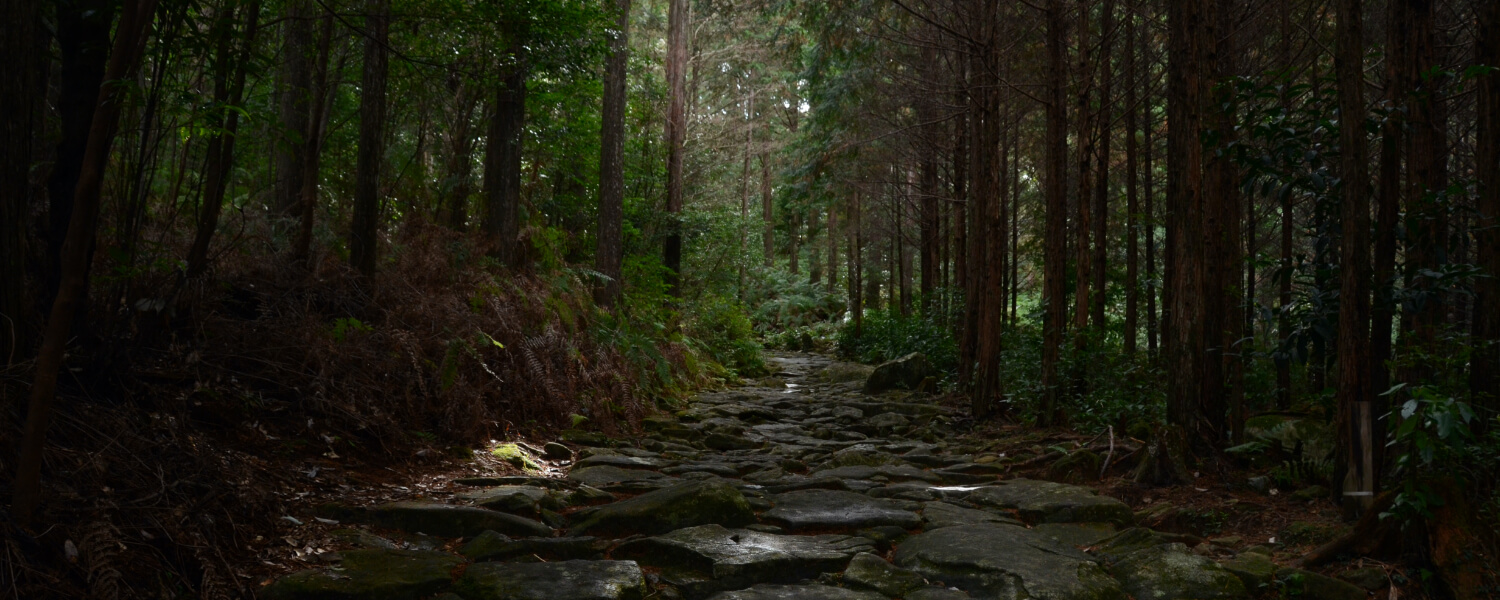
This is a pass that marked the borders of Ise Province and Kii Province. Even after Nisaka-toge became the main gateway to Kii Province in the Edo period, this route was also used frequently by people living in the area until the early Showa period. Tsuzurato translates to “99 bends”, which is characterized by the winding roads on this route. The stone pavements and walls on this path are fairly well-preserved from that time.
Route highlights
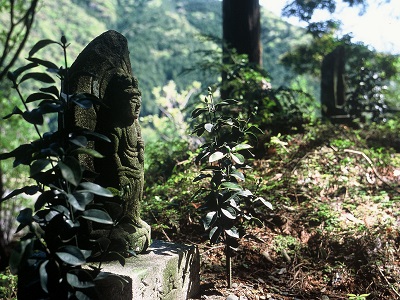
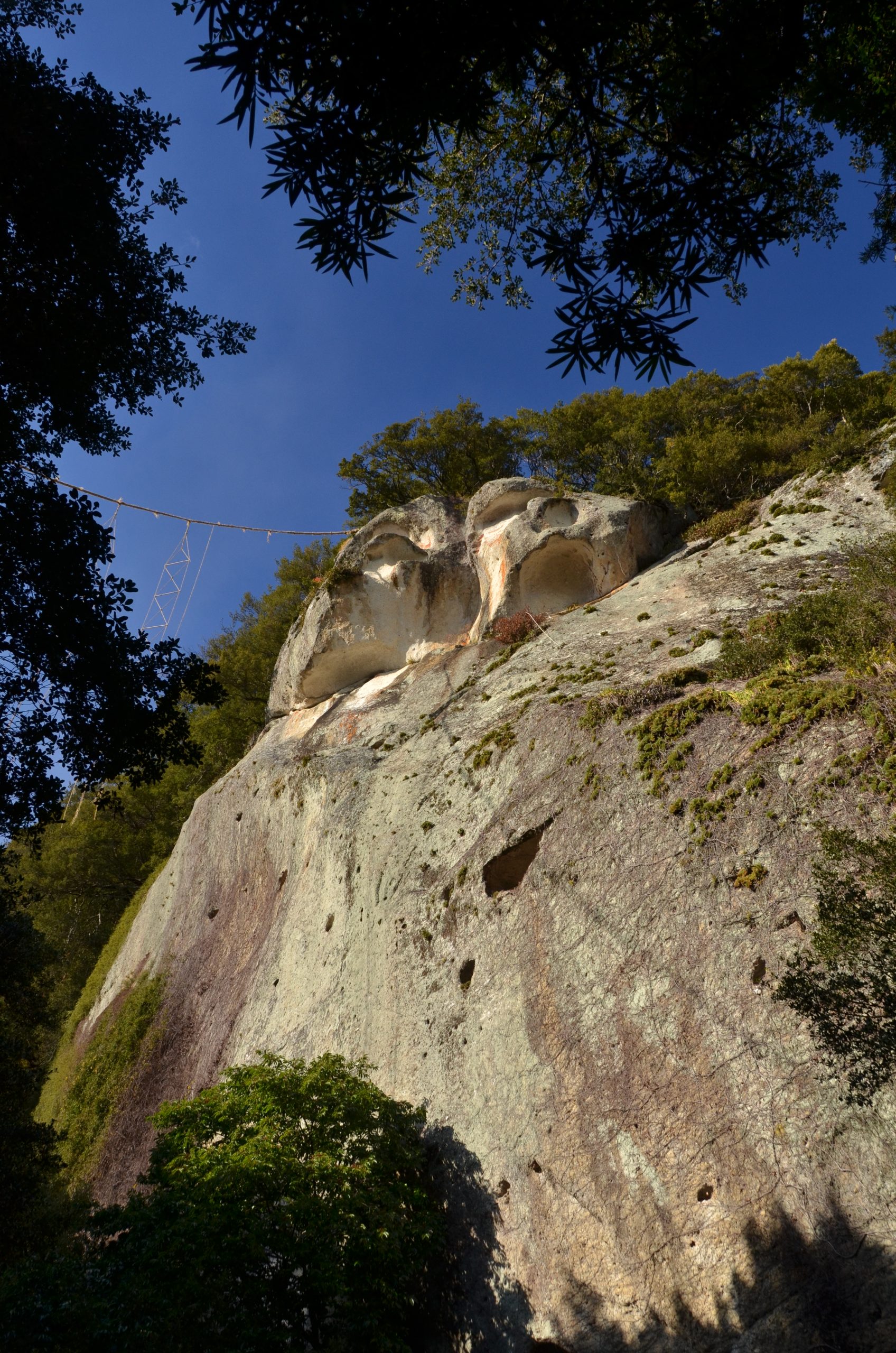
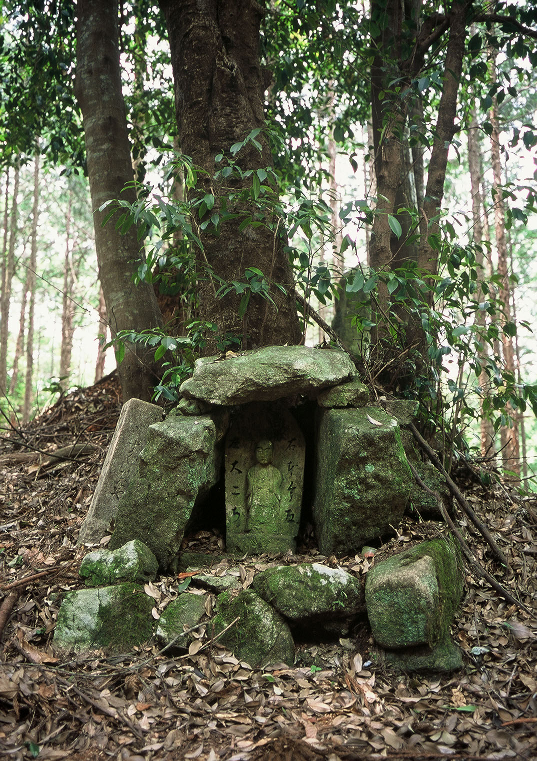
33 Kannon Stone Statues
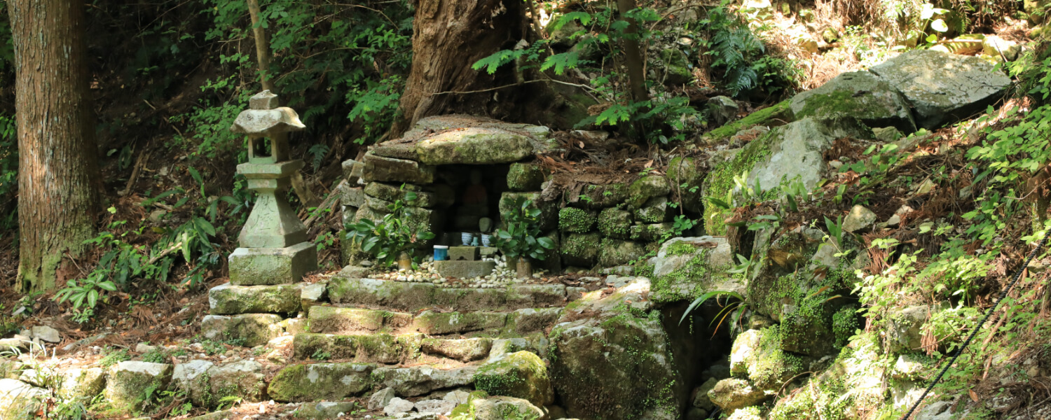
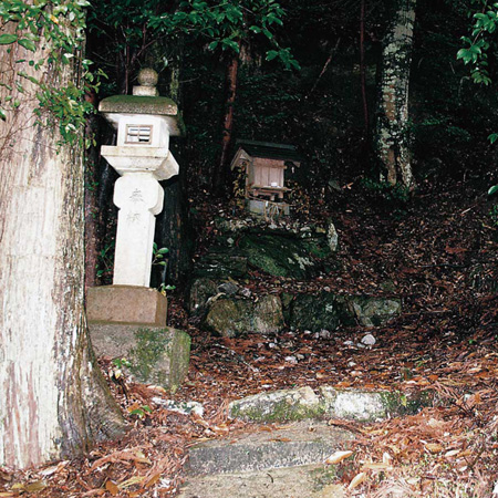
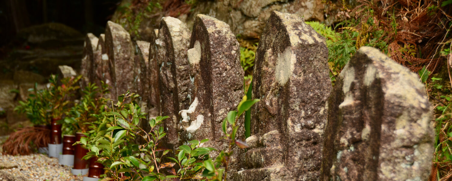
Stone Kannon statues of the thirty-three Saigoku temples are enshrined near the place of worship of Emperor Kazan, who left the capital on a pilgrimage to Kumano.

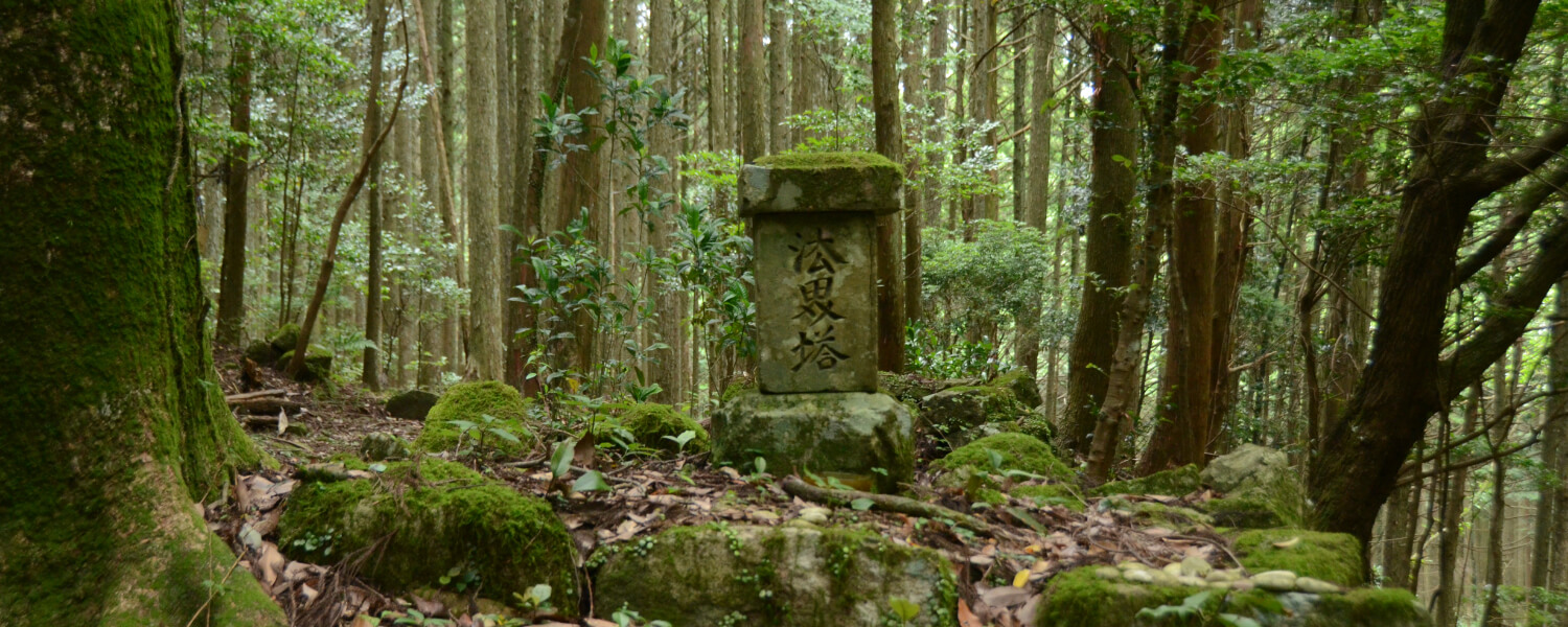
Tsuzurato-toge Pass
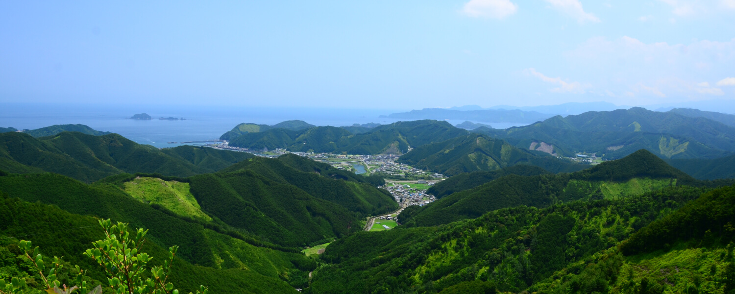
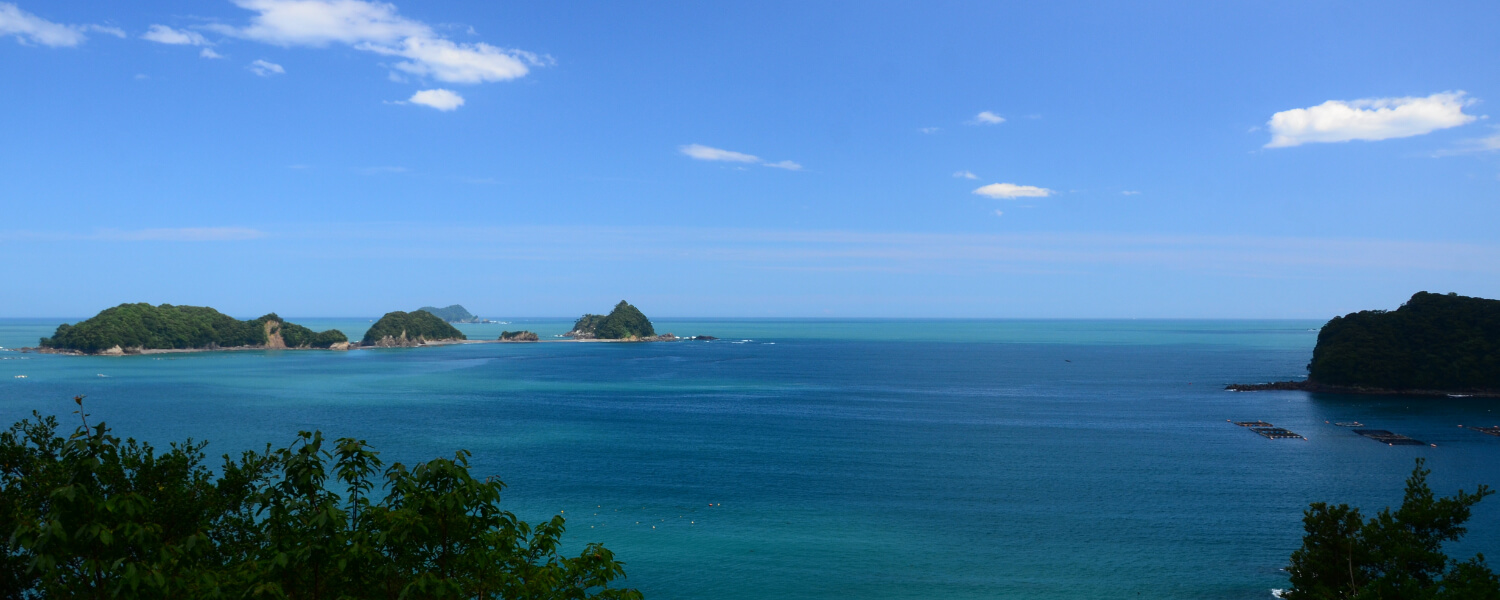
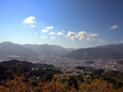
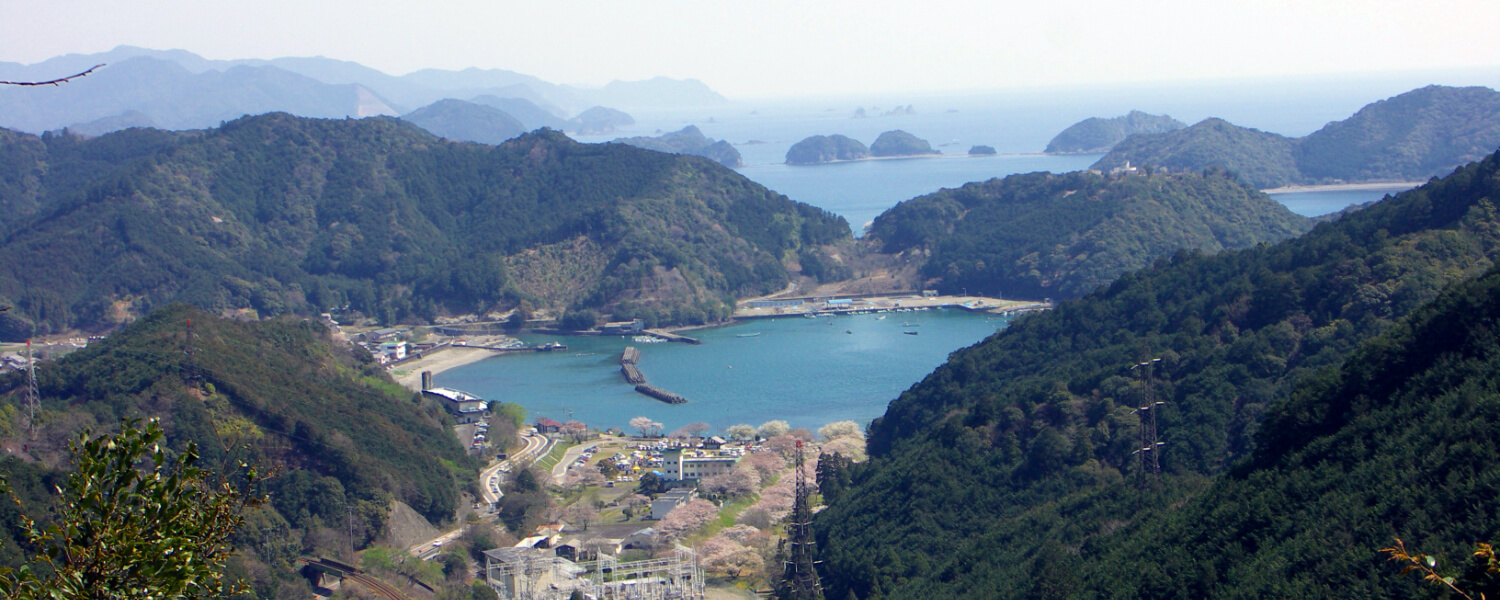
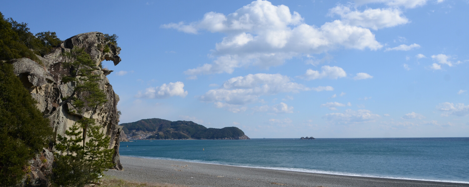
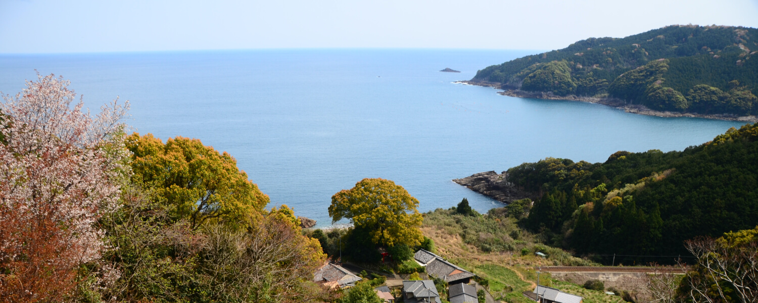
At 357m above sea level, this was the spot that provided pilgrims heading to Kumano Sanzan from Ise their first view of Kumano’s seas.
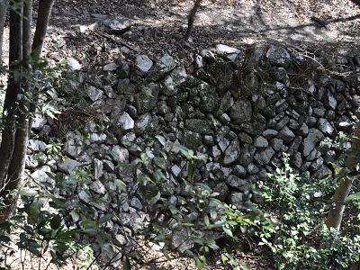
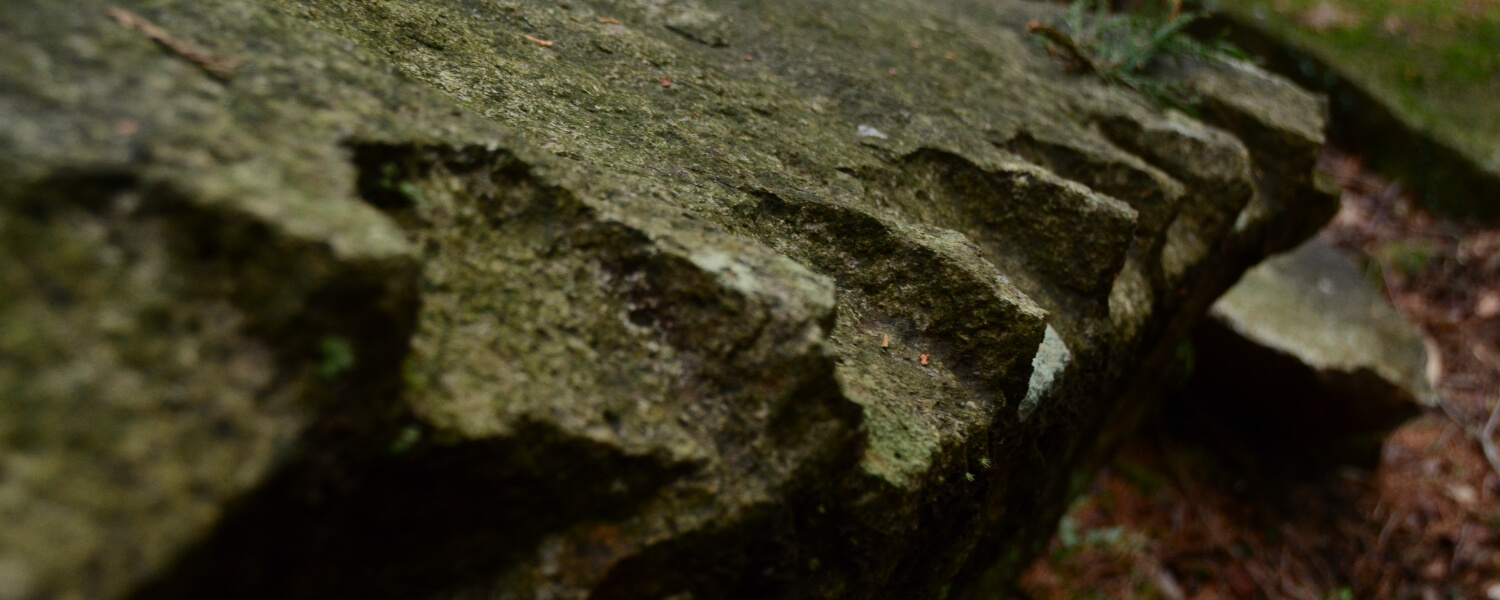
Rough Stone Walls
The few stone walls found here facing the valley are remnants of structures from olden days that were built to protect the path here.
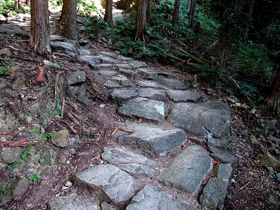
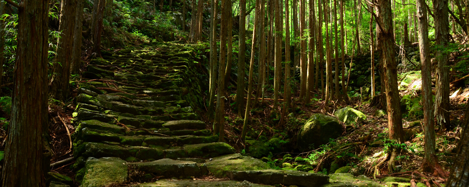
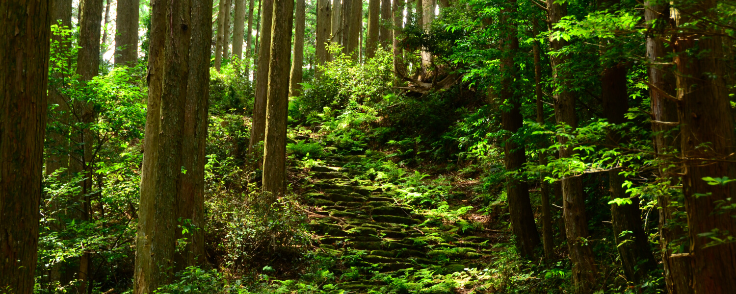
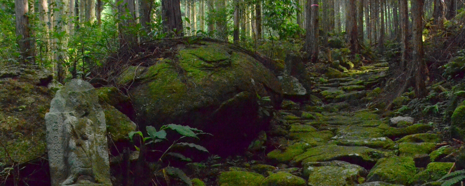
Stone Pavement
This stone pavement forms a zig-zag pattern in the midst of the deep green ferns surrounding it.
Road trip to Kumano Kodo
距離 約9km(JR梅ヶ谷駅~JR紀伊長島駅)歩行時間 3時間30分 駐車スペース【JR梅ヶ谷駅側】○八柱神社(駅から徒歩すぐ/バス停から徒歩すぐ)
【JR紀伊長島駅側】○JR紀伊長島駅(駅から徒歩すぐ/バス停から徒歩15分)
◆マイカーで来訪での歩きイメージ◆
Aパターン
START 八柱神社に駐車
⇓
梅ヶ谷方面~紀伊長島方面へ歩く
⇓
【紀伊長島駅】または《マンボウバス停》
⇓【列車】or《バス》
【梅ヶ谷駅】または《梅ヶ谷バス停》
⇓
GOAL 駐車場に戻る
Bパターン
START 紀伊長島駅駐車場に駐車
⇓
【紀伊長島駅】または《マンボウバス停》
⇓【列車】or《バス》
【梅ヶ谷駅】または《梅ヶ谷バス停》
⇓
梅ヶ谷方面~紀伊長島方面へ歩く
⇓
GOAL 駐車場に戻る
Other routes on the Kumano Kodo Iseji Trail


