3 Nisaka-toge Pass
Nisaka-toge Pass
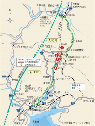
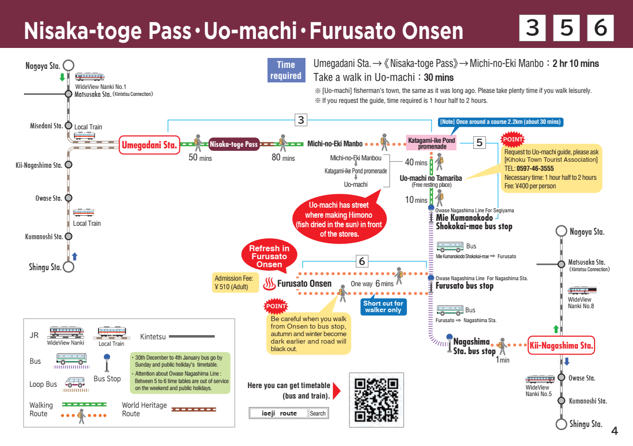
Walking time
2 hours 30 minutes
Distance
Around 7.5km (from Taiki Town to Kihoku Town)
sea level
241m
Route features
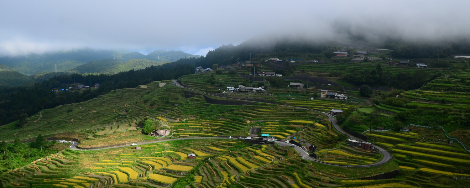
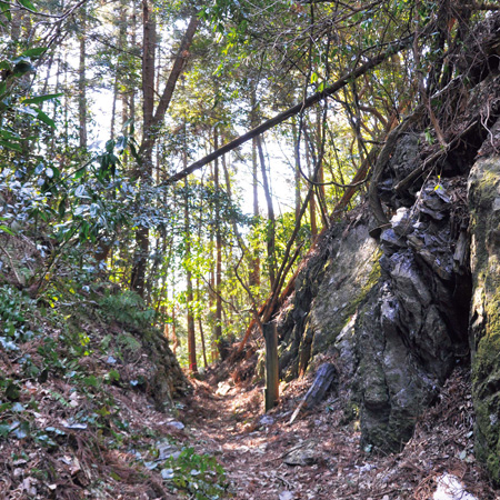
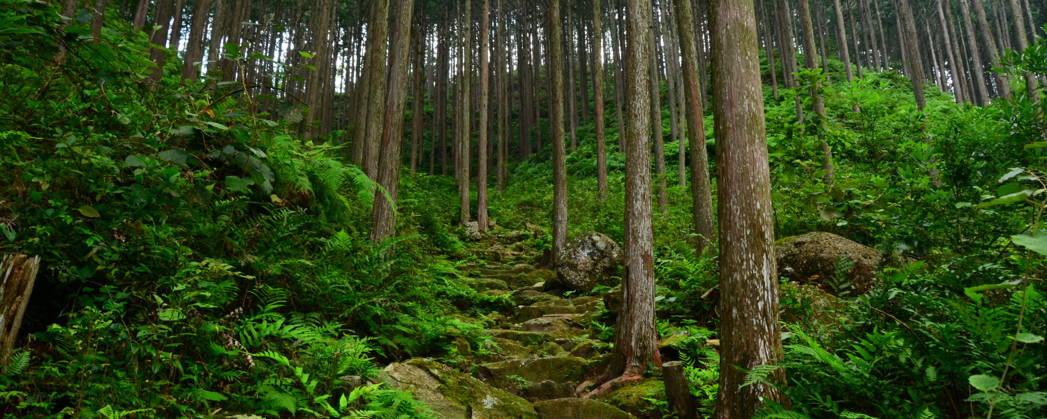
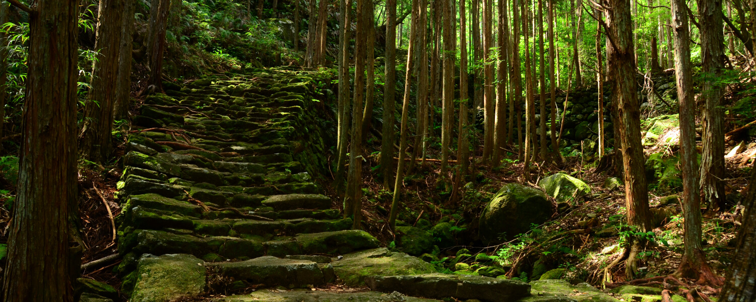
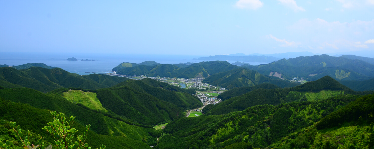
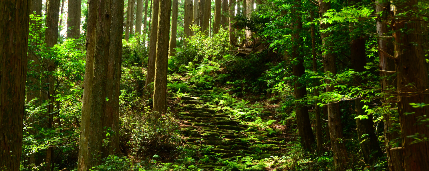
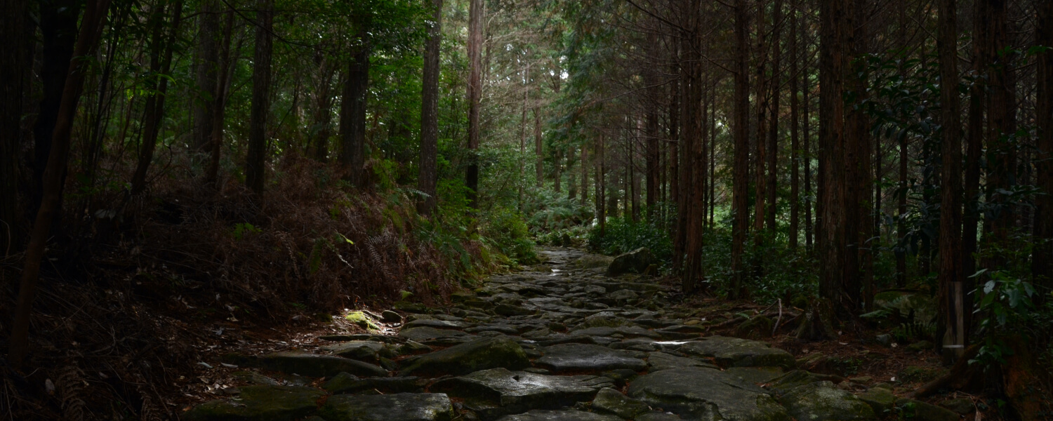
This became the main gateway to Kii Province after roads leading to Kii Province were established in the mid-Edo period during the rule of Tokugawa Yoshimune. This is a fairly easy route to walk due to its gentle slopes and wide pathways. Upon crossing the pass, your eyes will be met with a wealth of flora, including many maple trees and ferns, making it a scenic walk with changing colors and scenery through the seasons.
Route highlights
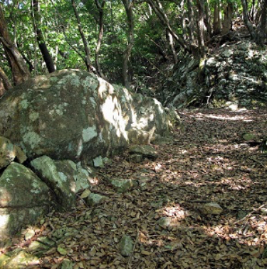
Ikoi Rock
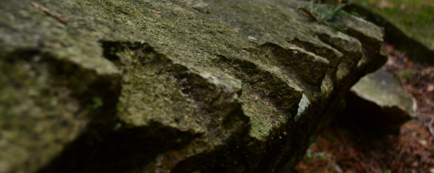
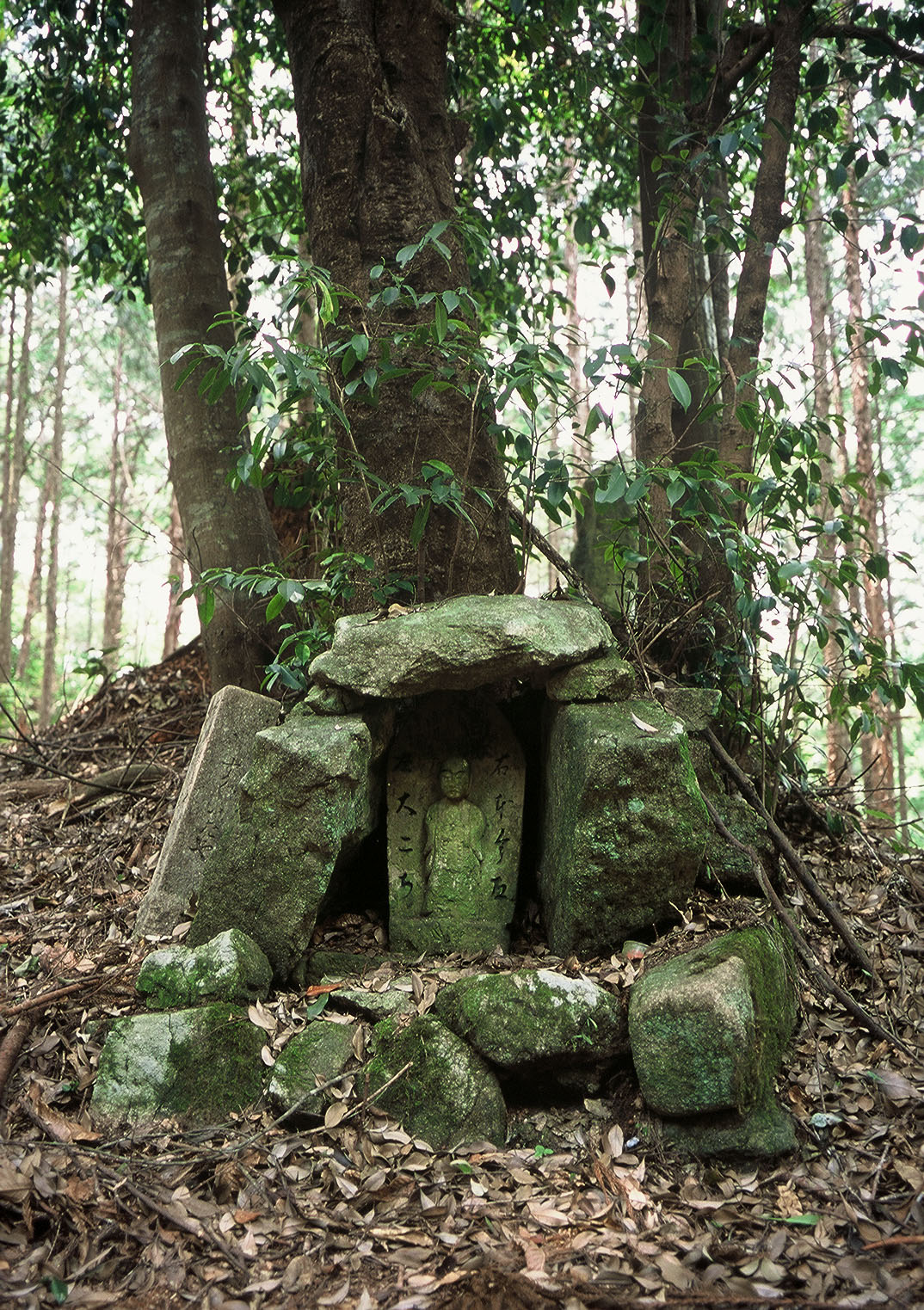
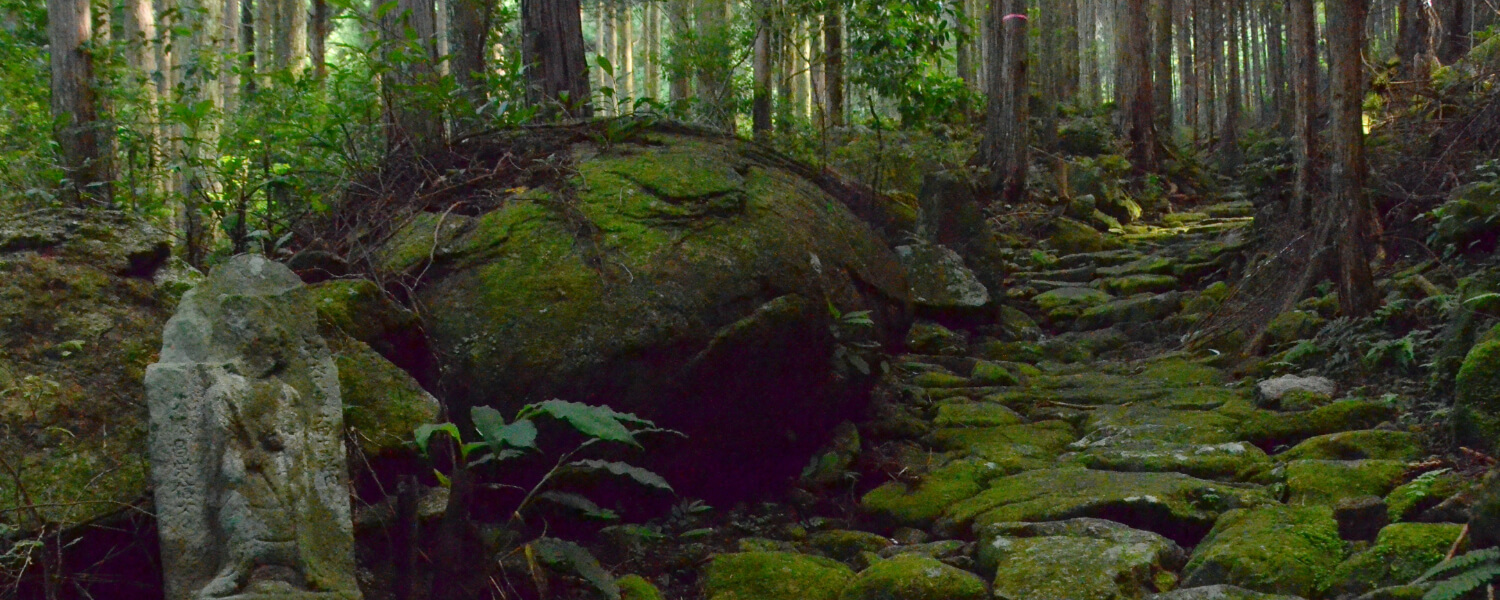
Travellers would often sit on this rock to take a rest, hence its name, which means 'rest' in Japanese. This is located at a breezy ridge, making it a great place to stop for a short break.
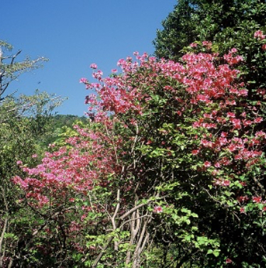
Rhododendron Path
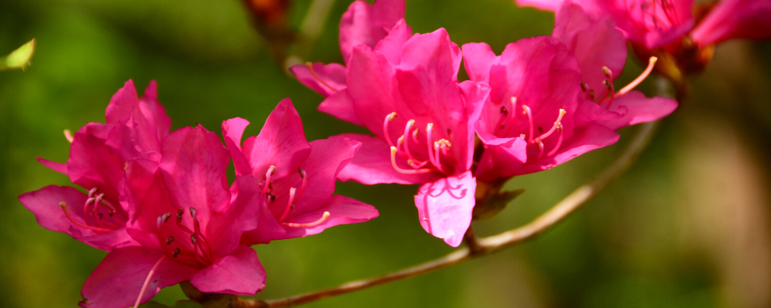
The clusters of rhododendron flowers blooming in April and May against the fresh green leaves of spring are a spectacular sight to behold. This thicket of trees is a great spot to enjoy the changing scenery through the seasons.
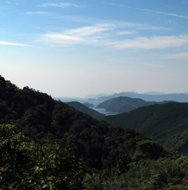
Okimi-daira
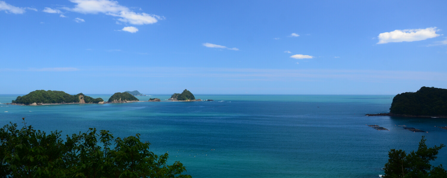
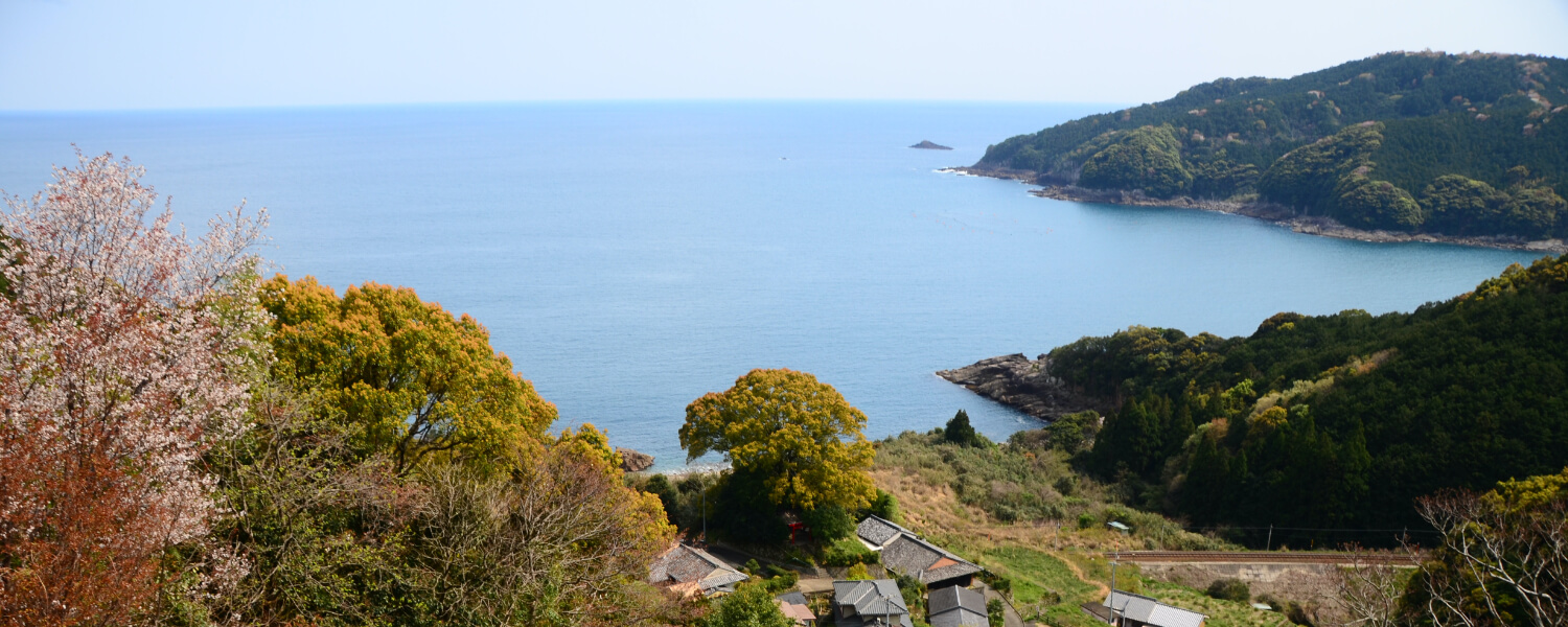
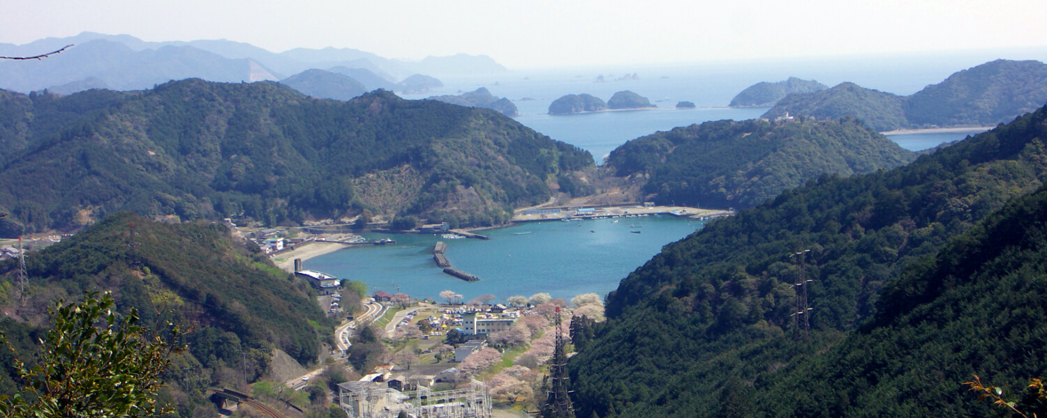
This is a rest stop with a great view. A wooden board with two lines of a poem by Bokushi Suzuki, an Edo period travel writer, can be found here.
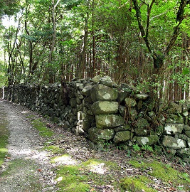
Shishigaki
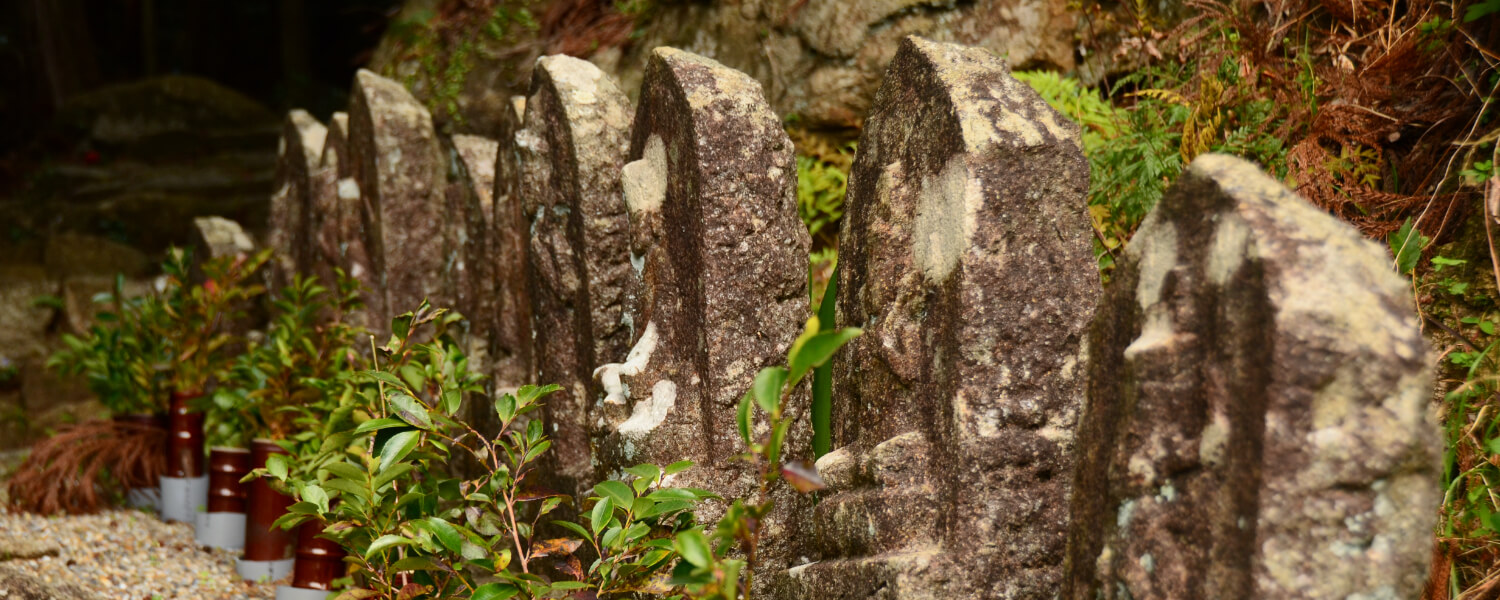
After emerging from the forest path, you will find remnants of stones piled up along the path. This was used as a barrier to protect crops from wild boars and deer.
Road trip to Kumano Kodo
約8km(JR梅ヶ谷駅~JR紀伊長島駅)歩行時間2時間30分駐車スペース【JR梅ヶ谷駅側】○八柱神社(駅から徒歩すぐ/バス停から徒歩すぐ)
【JR紀伊長島駅側】○JR紀伊長島駅(駅から徒歩すぐ) ○道の駅紀伊長島マンボウ(駅から徒歩15分/バス停から徒歩すぐ)
◆マイカーで来訪での歩きイメージ◆
Aパターン
START 八柱神社に駐車
⇓
梅ヶ谷方面~紀伊長島方面へ歩く
⇓
【紀伊長島駅】または《マンボウバス停》
⇓【列車】or《バス》
【梅ヶ谷駅】または《梅ヶ谷バス停》
⇓
GOAL 駐車場に戻る
Bパターン
START 紀伊長島駅または道の駅紀伊長島マンボウに駐車
⇓
【紀伊長島駅】または《マンボウバス停》
⇓【列車】or《バス》
【梅ヶ谷駅】または《梅ヶ谷バス停》
⇓
梅ヶ谷方面~紀伊長島方面へ歩く
⇓
GOAL 駐車場に戻る
Other routes on the Kumano Kodo Iseji Trail

