18 Yokogaki-toge Pass
Yokogaki-toge Pass
Walking time
About 2 hours and 10 minutes
Distance
Around 5.4km (From Yokogaki-toge Noboriguchi bus stop to Takachiyoshi bus stop)
sea level
305m
Route features
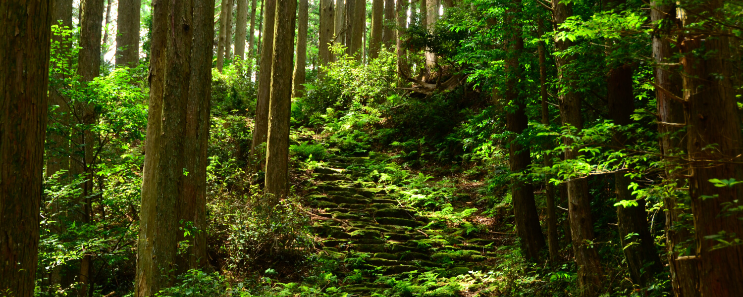
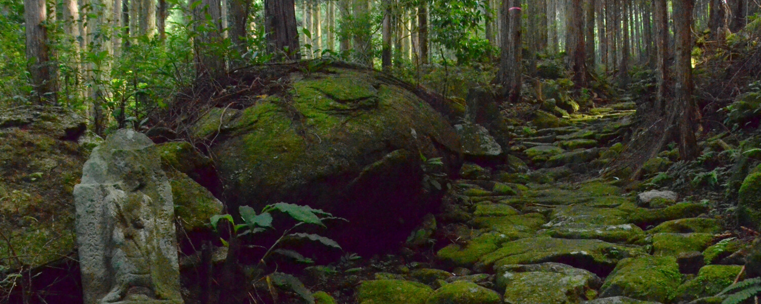
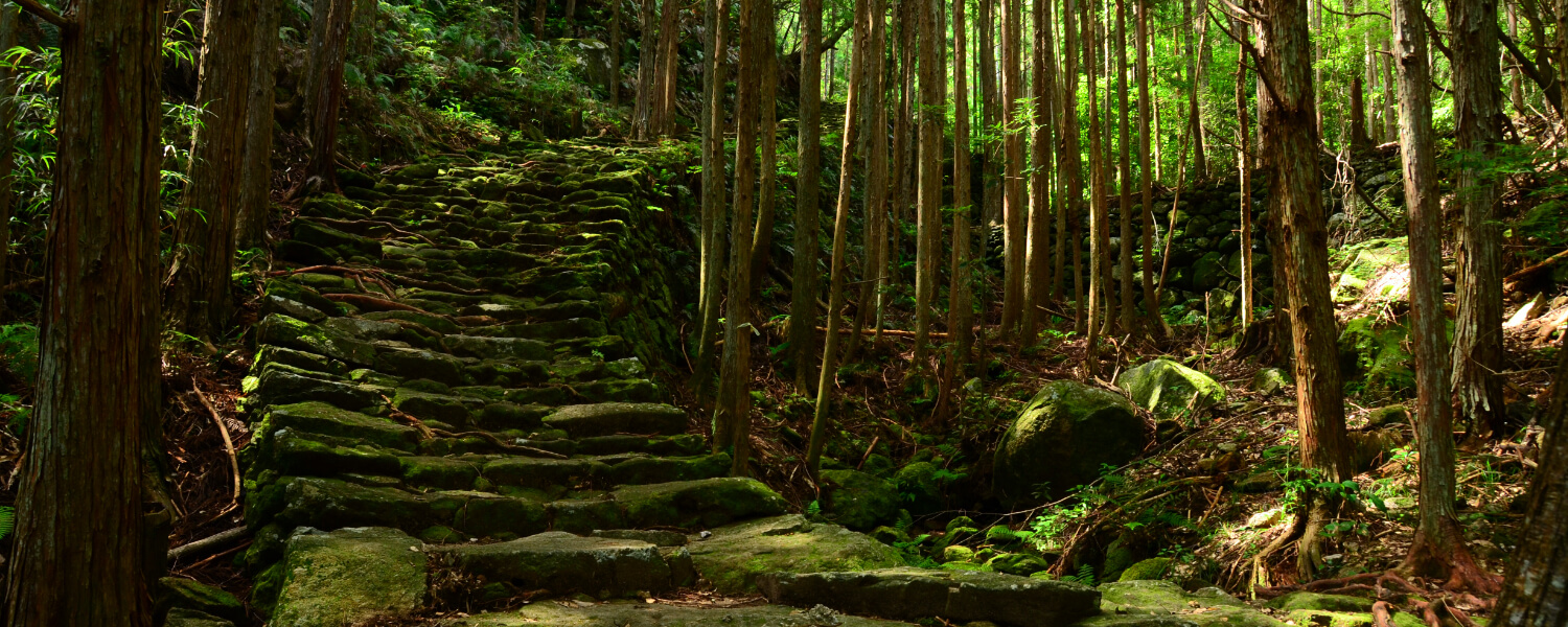
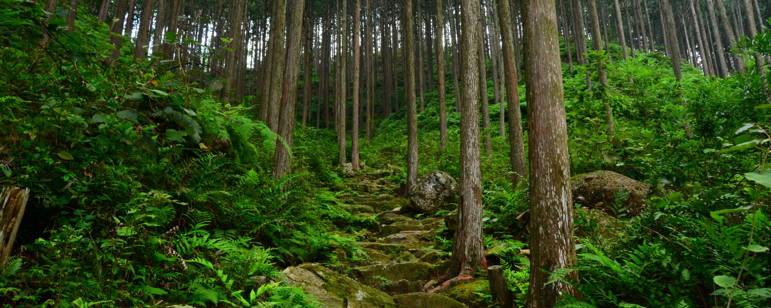
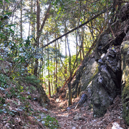
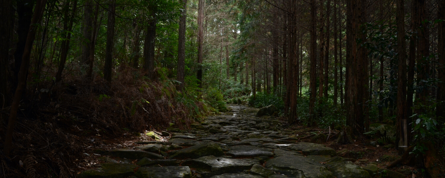
The Kumano Kodo Iseji Route forks at Arima of Kumano City, where the Hanano Iwaya Shrine is located. The fork that goes down south along the beach to Shingu is called Hamakaido, and the fork which leads to Hongu is called Hongudo. This route on the Hongudo which goes over Yokogaki Pass is paved by the Konogi Rhyolite stone unique to this area.
Reopening of sections along the Kumano Kodo Yokogaki-toge Route
Sections of Yokogaki-toge were closed due to landslide damage due to the heavy rains in July 2007, and some sections were reopened on 1 June 2018. In addition to this, the section between Yokogaki-toge (stone monument) and Sakano-toge has reopened on 1 December 2018. For the section between Sakano-toge to the entrance of the Jizo statue along the Sakamoto Konogi Forest Route, hikers may now access the Sakamoto area from the Konogi area in Mihama Town by detouring through the forest route.
Reopening of road sections:
(1) Effective from: 1 December 2018 (Saturday)
(2) Route accessible on foot:
Before reopening:
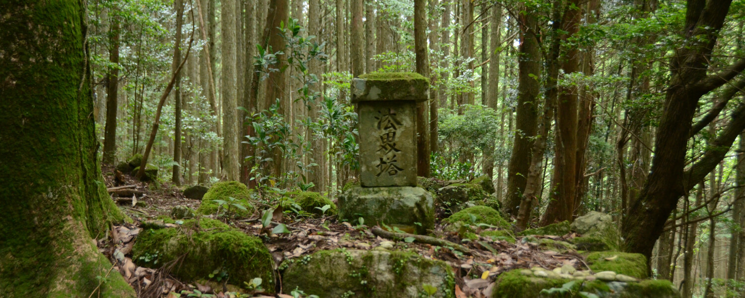
Yokogaki-toge Iriguchi – Mizutsubo Jizo – Yokogaki-toge (stone monument) – Detour to forest route – Entrance of Jizo statue along Sakamoto Konogi Forest Route – Oriyama Shrine (Go down the forest path from Yokogaki-toge (stone monument), and use the forest path all the way to the Jizo statue on the Sakamoto Konogi Forest Route)
After reopening:
Yokogaki-toge Iriguchi – Mizutsubo Jizo – Yokgaki-toge (stone monument) – Sakano-toge (pavilion) – Detour to forest route – Entrance of Jizo statue along Sakamoto Konogi Forest Route – Oriyama Shrine (Go down the forest path from Sakano-toge, and use the forest path all the way to the Jizo statue on the Sakamoto Konogi Forest Route)
The abovementioned new route will be open every day with no restrictions. However, please inform the Education Committee of Mihama Town beforehand if many people will be passing through this route at once (e.g. when there are events).
Route highlights
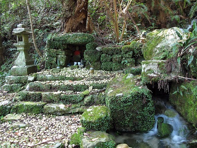
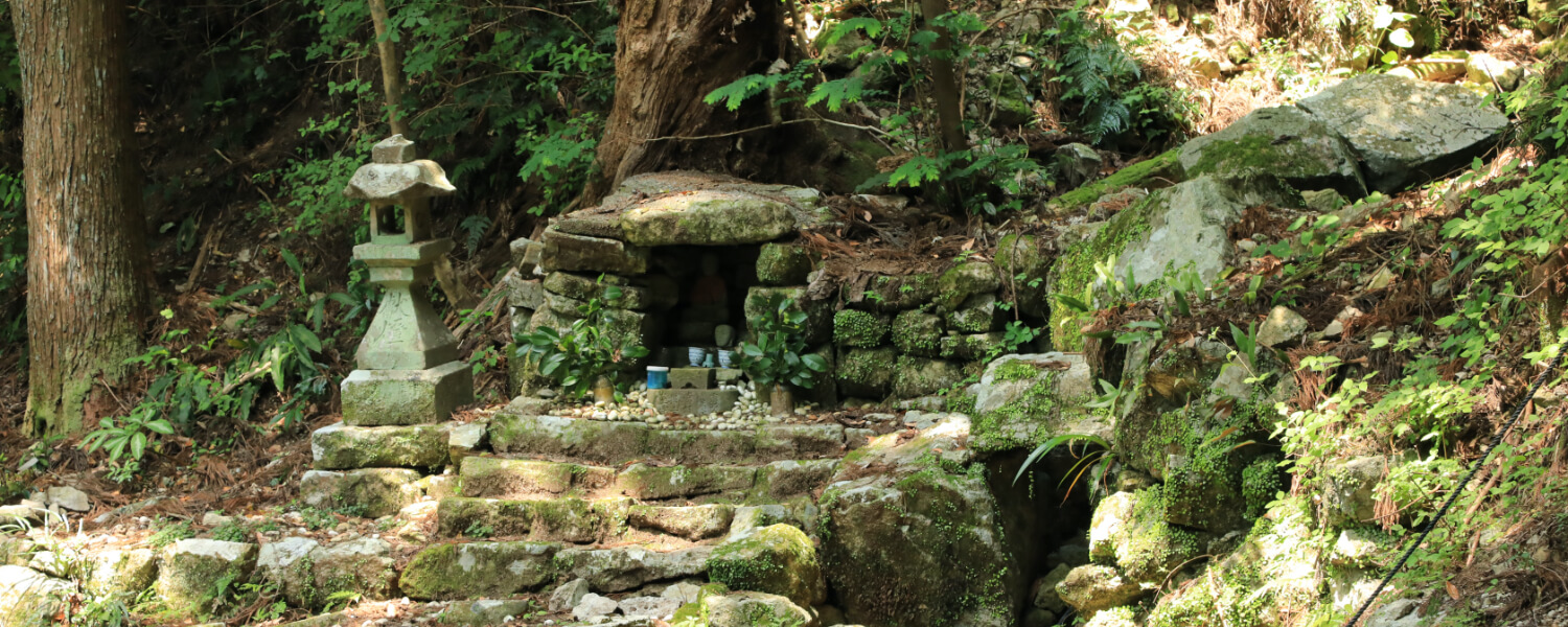
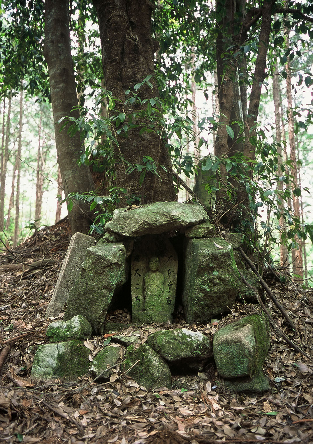
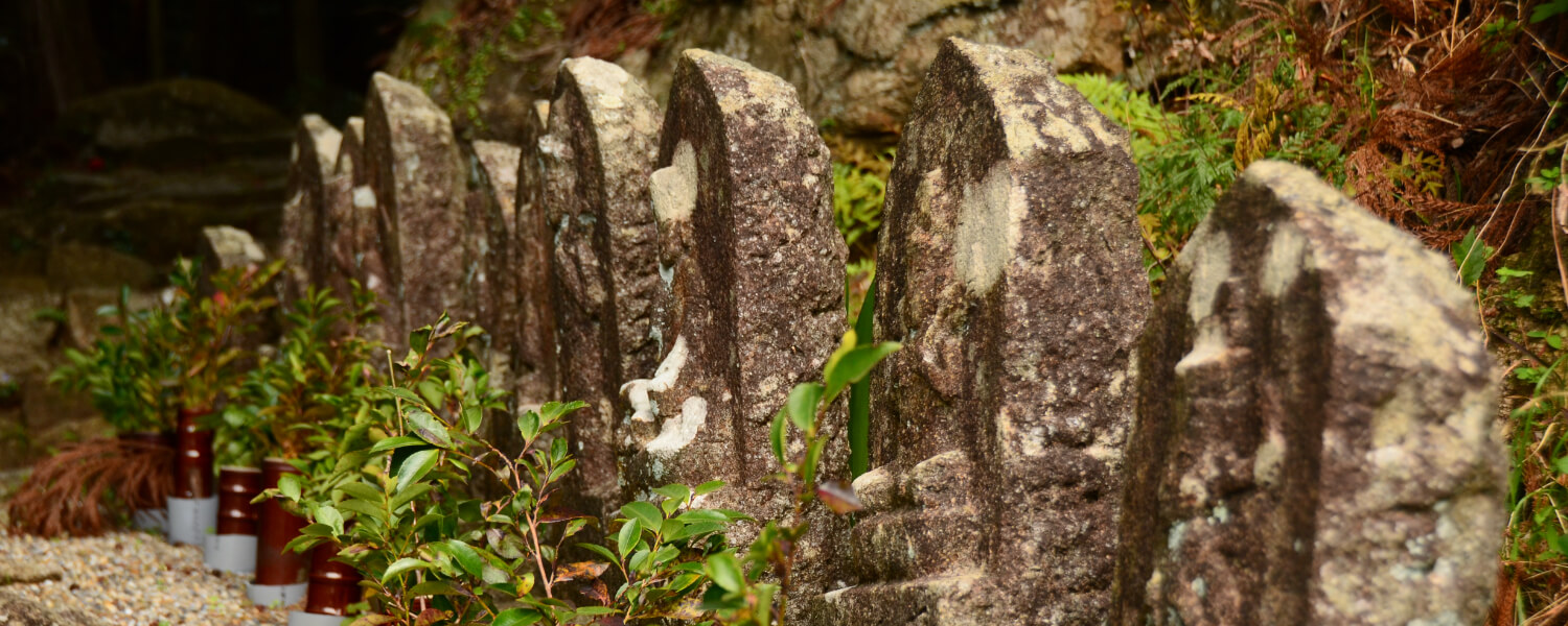
Mizutsubo Jizo and the Spring
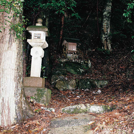
Next to the Mizutsubo Jizo statue is a legendary spring that was said to have magically sprung forth when the famous Kobodaishi poked a hole in the ground with his walking stick here.
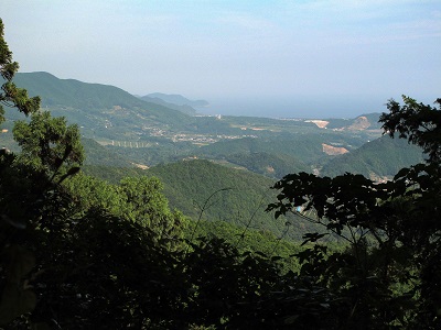
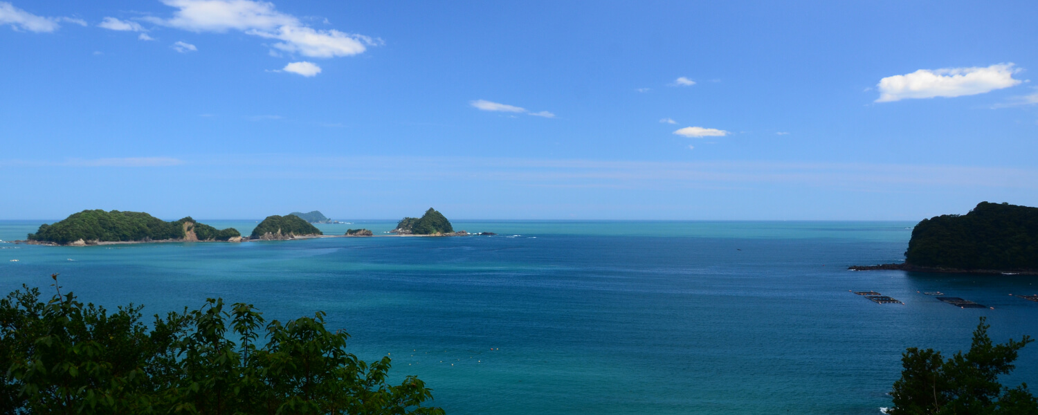
Yokogaki-toge Pass
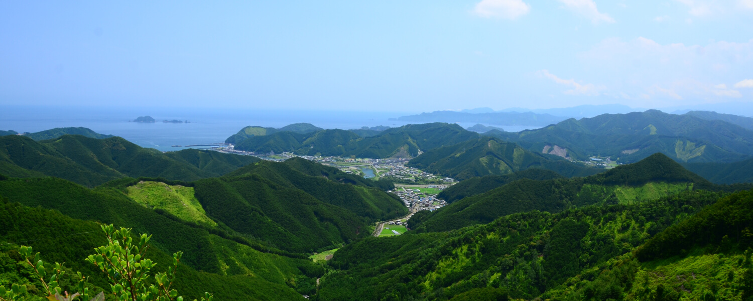
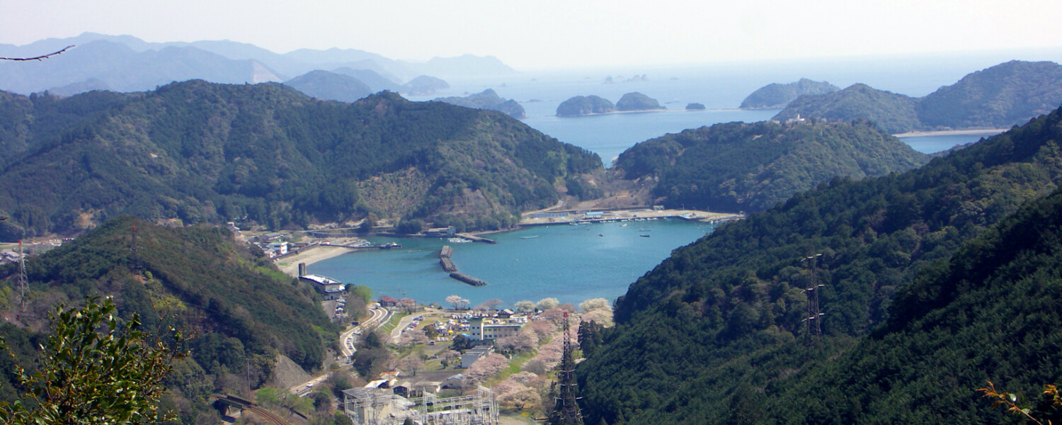
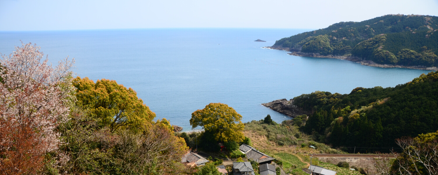
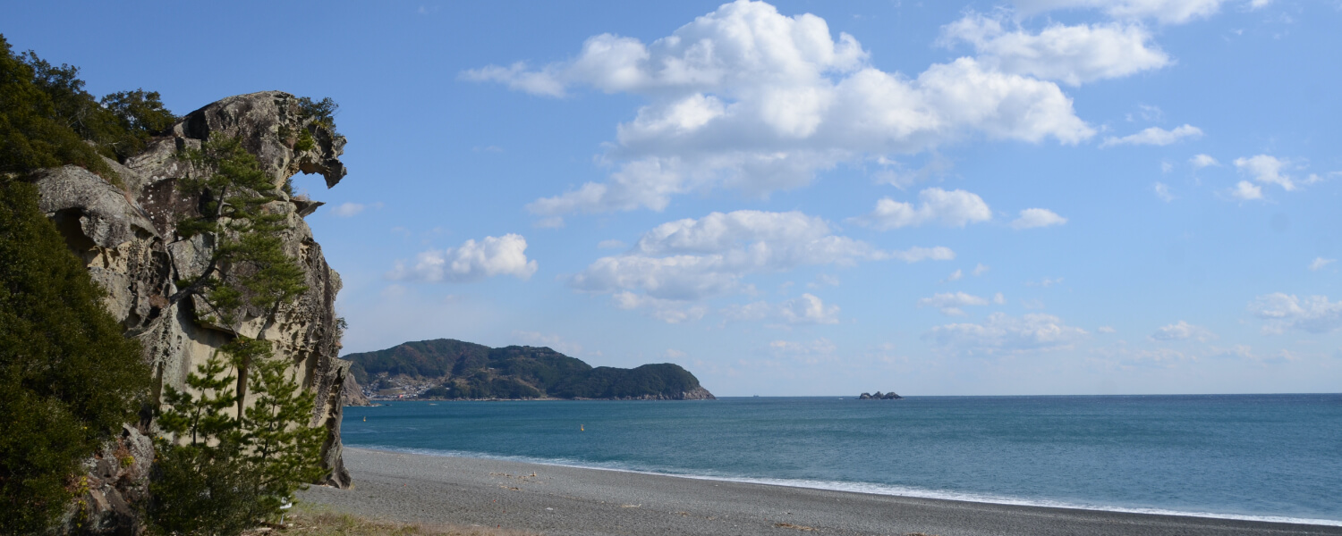
There is a clearing to the east of the pass, through which you can catch a glimpse of the sea of Kumano.
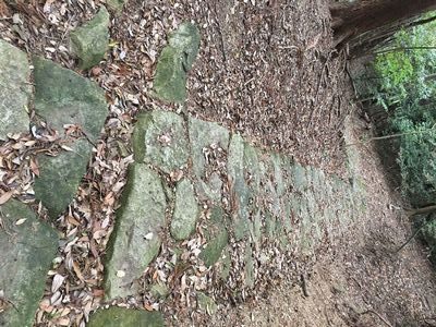
Konogi Rhyolite Stone Path
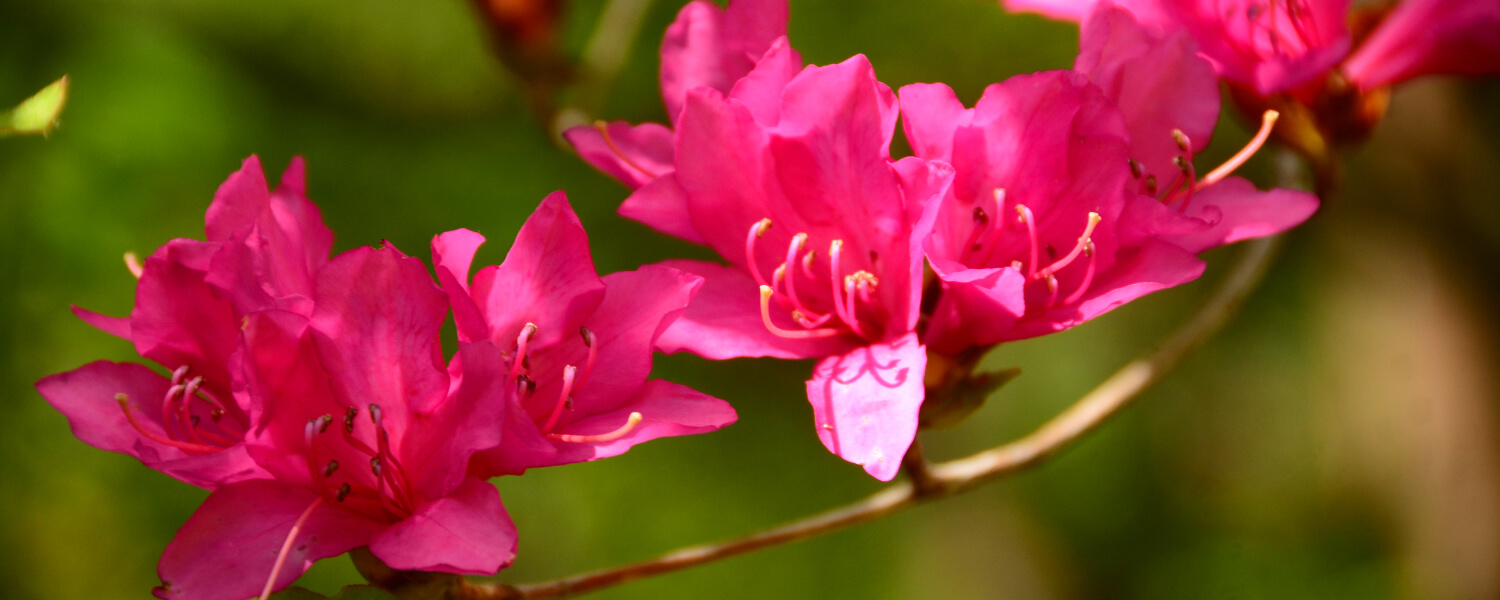
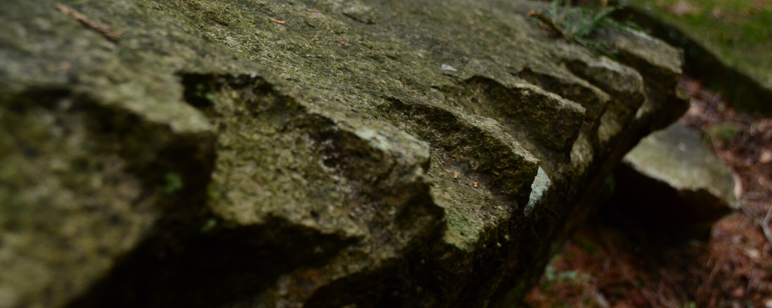
Tectonic activity caused the magma to harden with ripples, producing Konogi Rhyolite, a type of stone unique to this area. Wild flowers add color to the stone path through all four seasons.
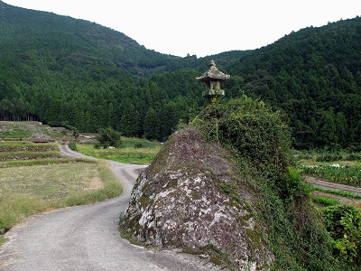
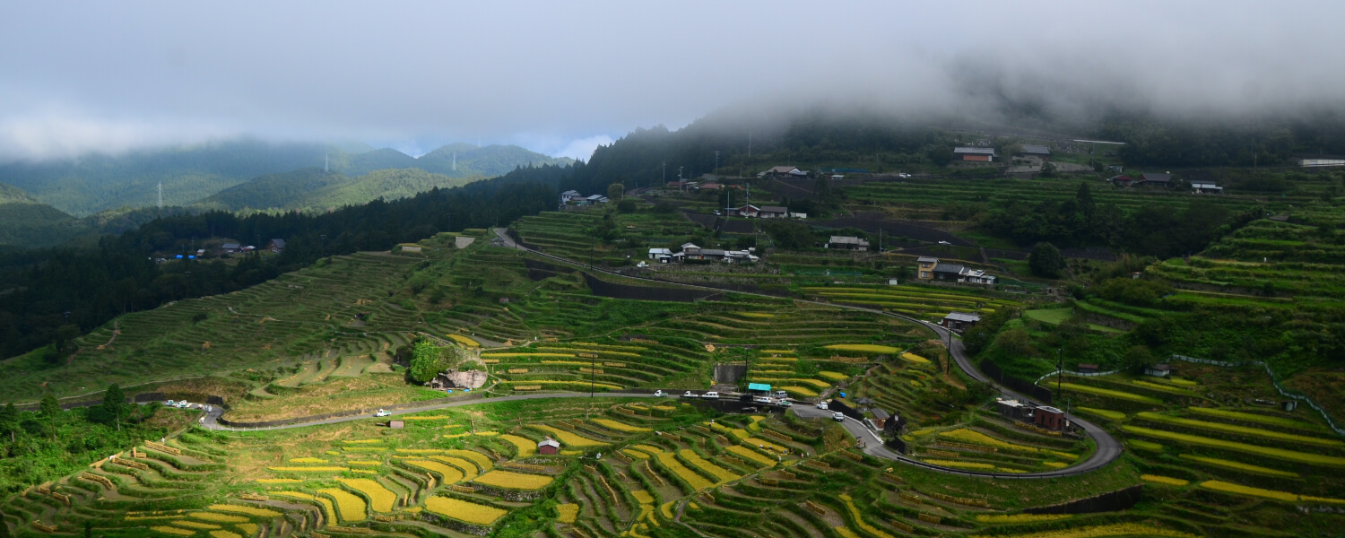
The Stone Lantern of Kameshima
In the middle of a terraced rice field stands a big rock called Kameshima (Turtle Island). It is 5 meters high and has a circumference of 25 meters. There is a stone lantern built on top of it.
Road trip to Kumano Kodo
距離 約5.4km(横垣峠登り口バス停〜高千良バス停) 歩行時間 2時間10分 駐車スペース【横垣峠登り口バス停側】○神木公民館
【高千良バス停側】○さぎりの里(バス停から徒歩5分)
Other routes on the Kumano Kodo Iseji Trail

