19 Fuden-toge Pass
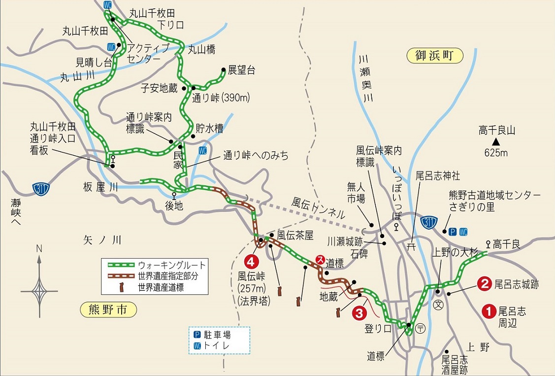
Fuden-toge Pass
Walking time
About 1 hour 30 minutes
Distance
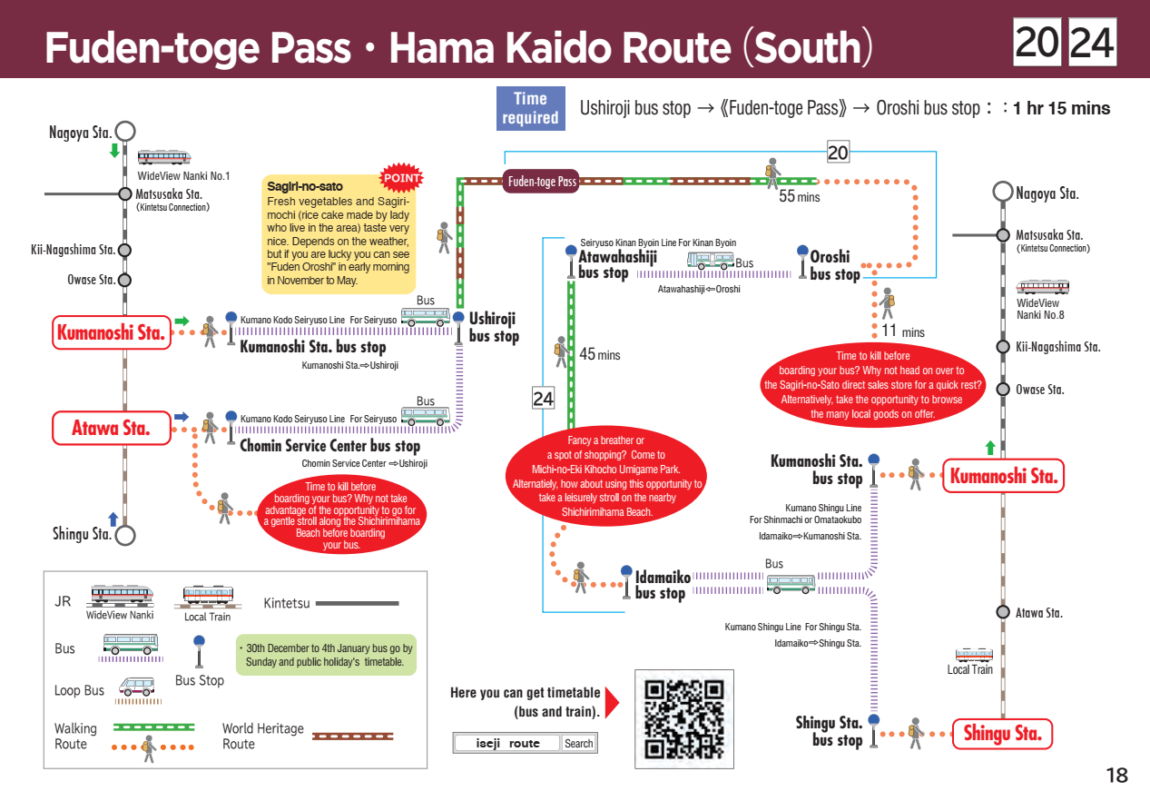
Around 4.1km (From Takachiyoshi bus stop to Nochi bus stop)
sea level
257m
Route features
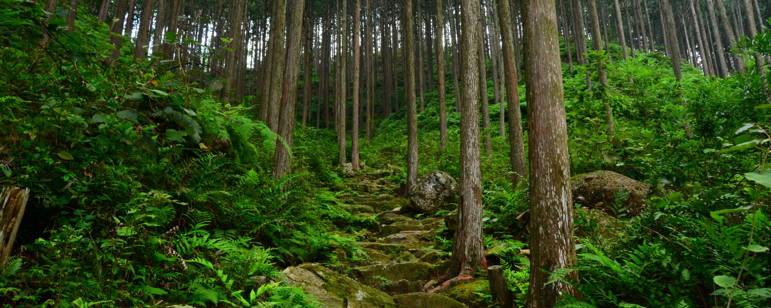
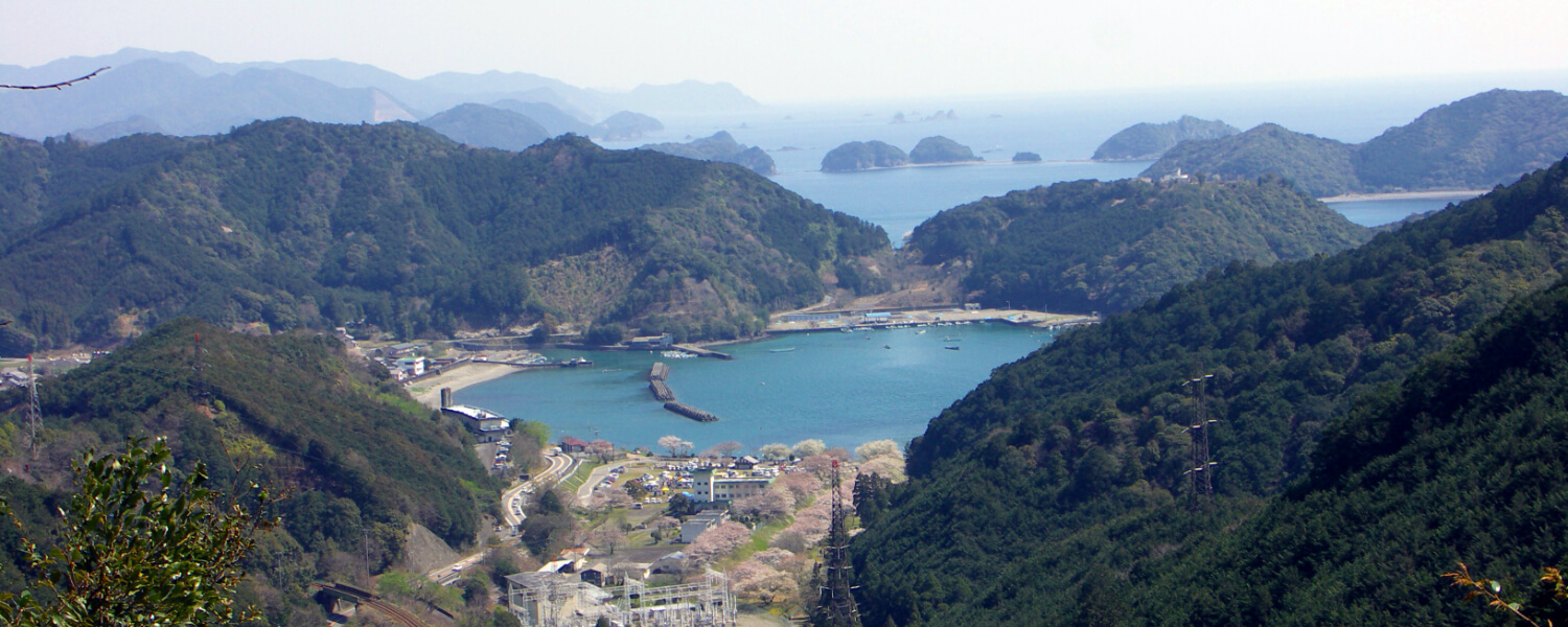
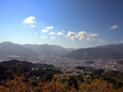
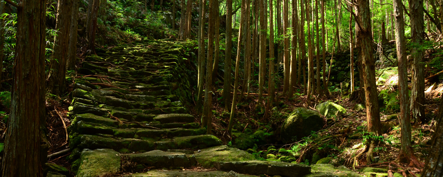
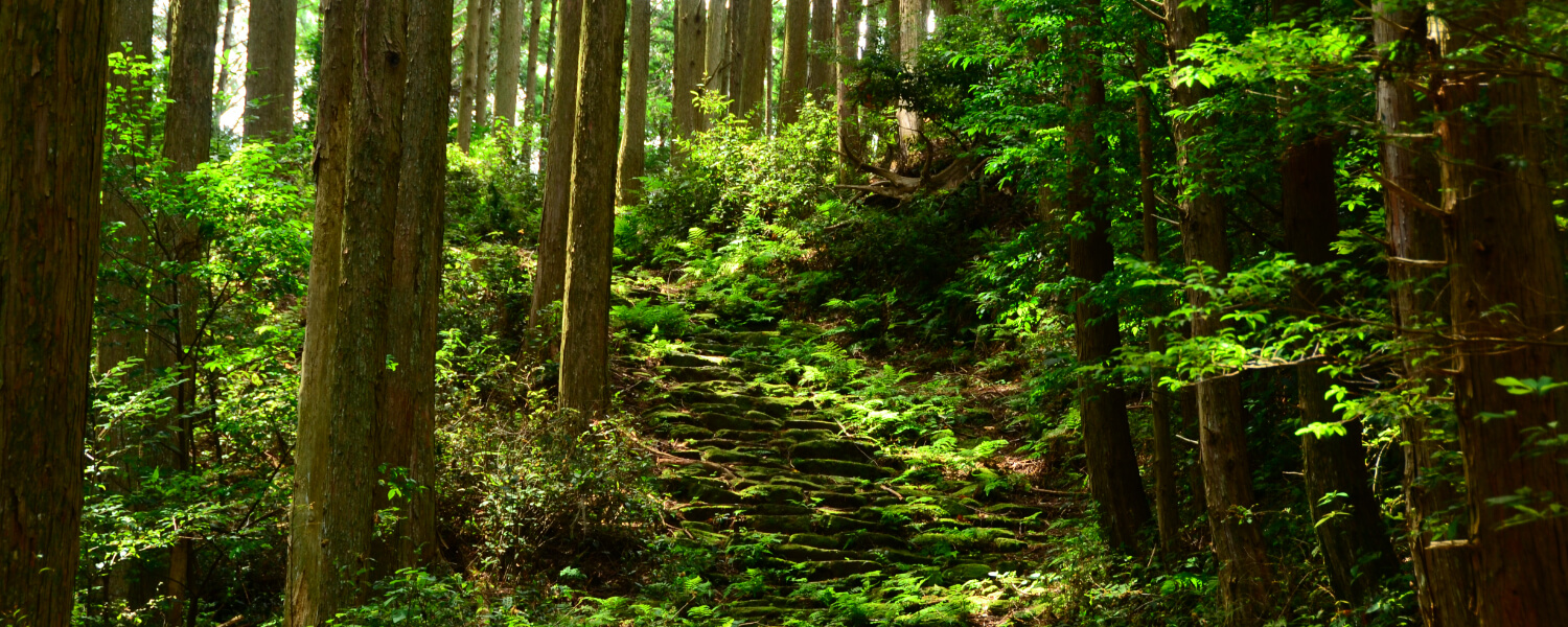
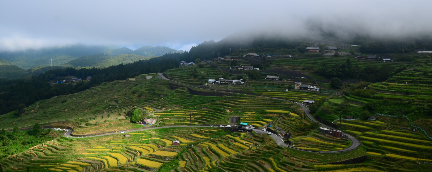
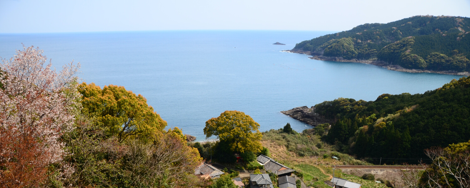
This was the main road connecting the coastal region to the mountain villages. The route starts in the quiet neighborhood of Oroshi, with beautiful views of the rice paddies and mountains. The moss-covered stone path makes its way up the slope. In addition to serving as a pilgrimage route, this road was also important for trade between the mountain villages and the fishing villages on the coast from long, long ago.
Route highlights
.jpg)
Fuden Oroshi
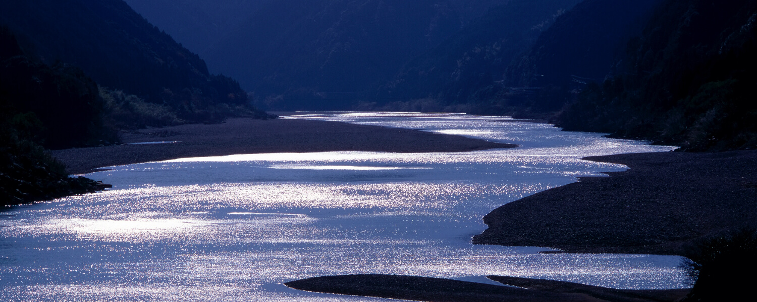
If you are lucky, you can see a natural phenomenon at the foot of Fuden Pass called Fuden Oroshi. It occurs early in the morning between fall and spring, on days when there is a big difference in air pressure between the ocean side and inland side of this pass. This causes a thick fog that envelops the mountain.
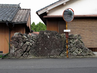
Ruins of Oroshi Castle
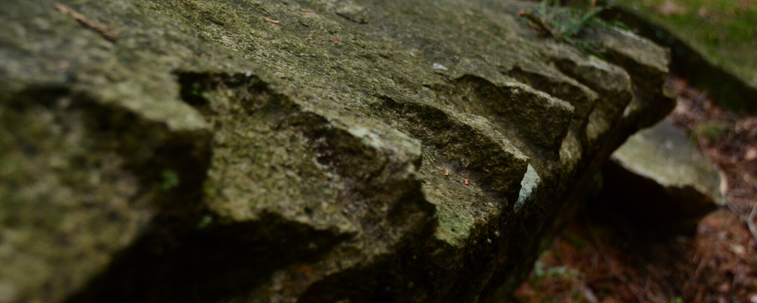
A local general named Oroshi built a castle here, and its ruins are scattered within Oroshi School and the rest of the town. You can see remains of the original castle as shown in this photo.
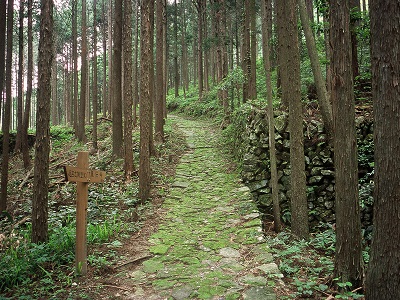
Stone Path
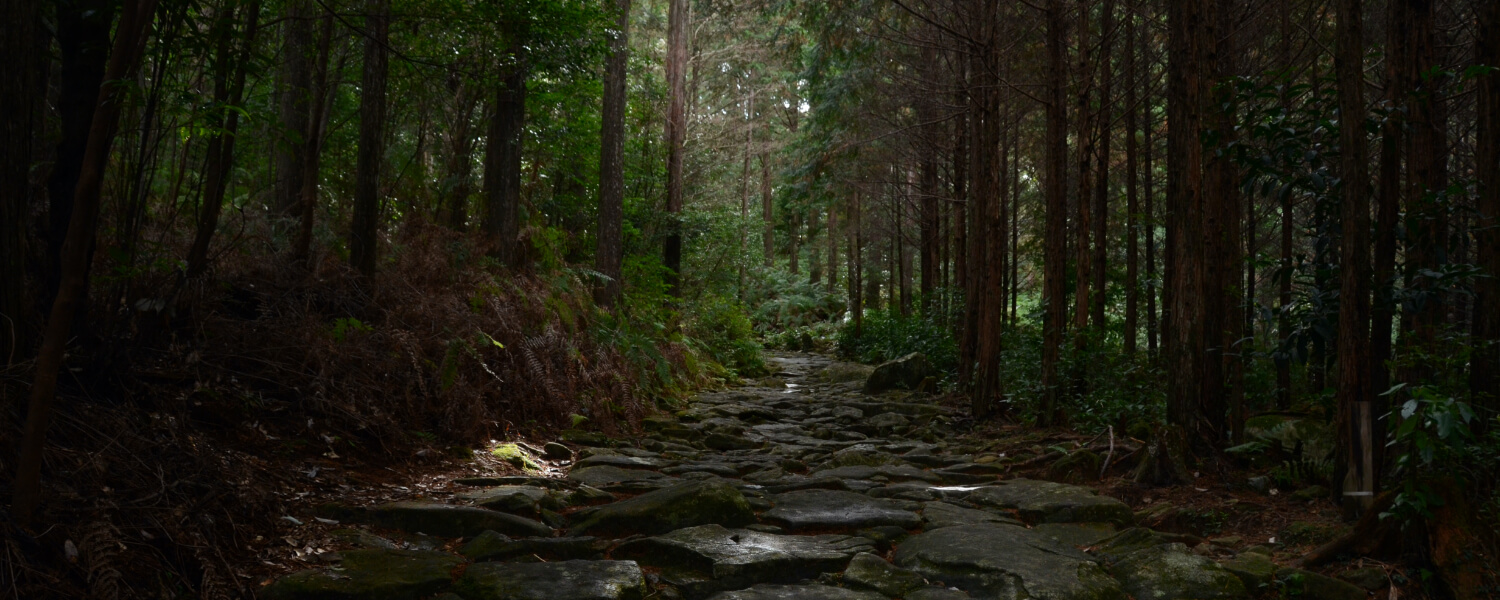
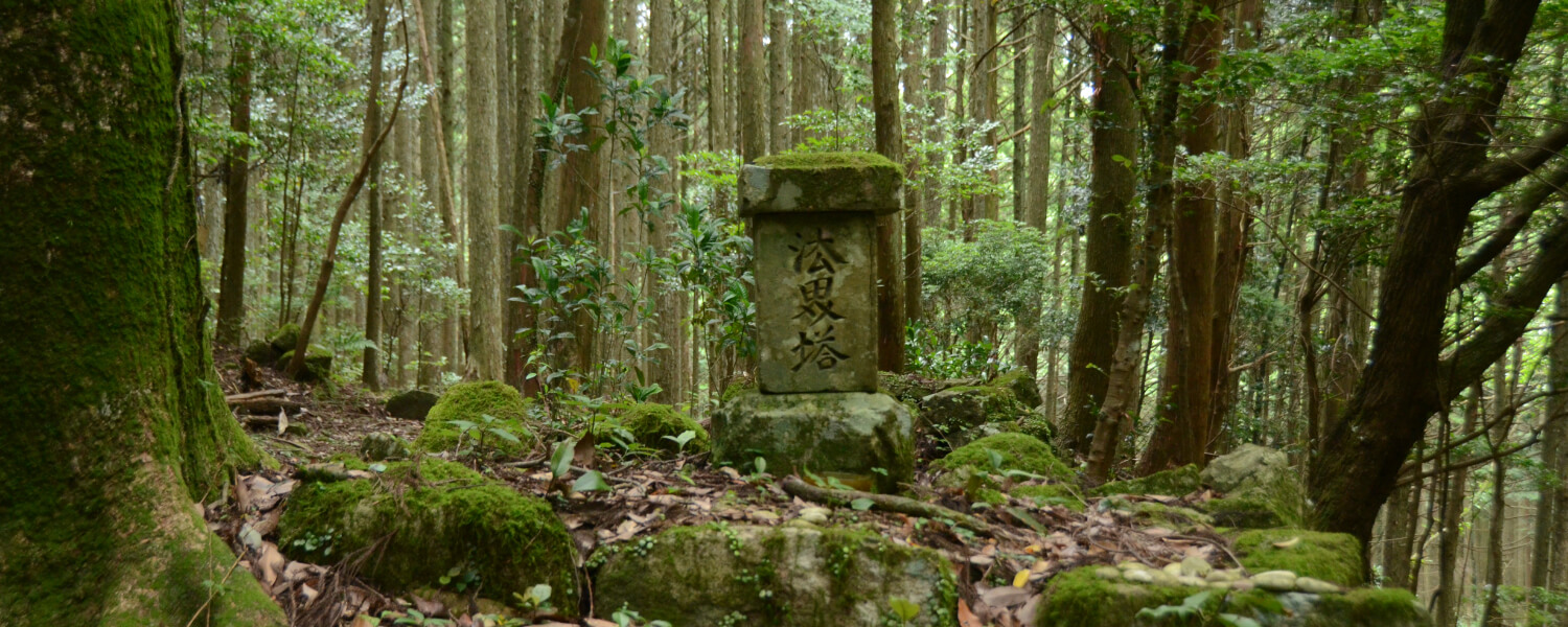
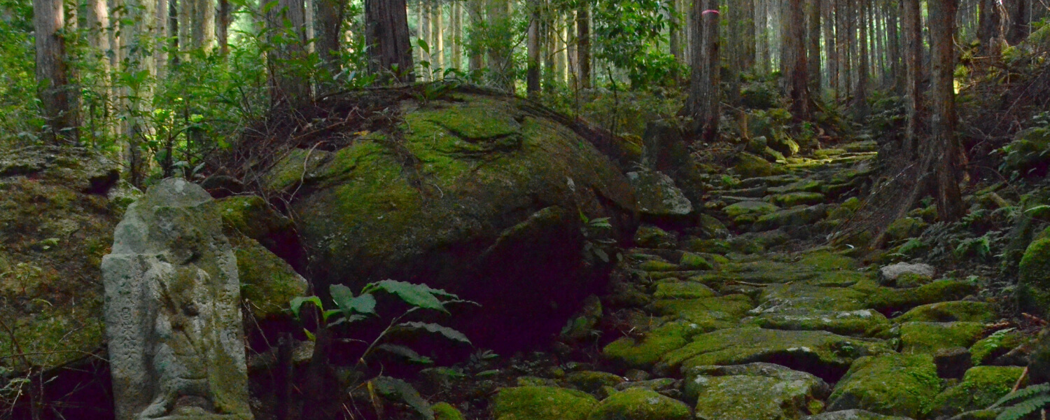
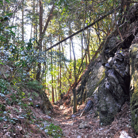
The moss-covered stone path leads you through a Japanese cedar forest. The path is made from Konogi Rhyolite stone as well.
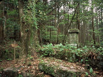
Fuden-toge Pass and the Hokai Monument
The pass is a little way up from the forest path. This pass was a strategic place used on multiple occasions to base a siege on Kumano. Among others, the famous Hideyoshi Toyotomi used this point.
Road trip to Kumano Kodo
距離 約3.5km(高千良バス停〜後地バス停)歩行時間 1時間30分 駐車スペース【高千良バス停側】○さぎりの里(高千良バス停から徒歩5分/尾呂志バス停から徒歩15分)
【後地バス停側】なし
◆マイカーで来訪での歩きイメージ◆
START さぎりの里に駐車
⇓
高千良バス停方面~後地バス停方面へ歩く
⇓
《後地バス停》
⇓《バス》
《高千良バス停》または《尾呂志バス停》
⇓
GOAL 駐車場に戻る
Other routes on the Kumano Kodo Iseji Trail

