11 Miki-toge Pass・Hago-toge Pass
Miki-toge Pass・Hago-toge Pass
Walking time
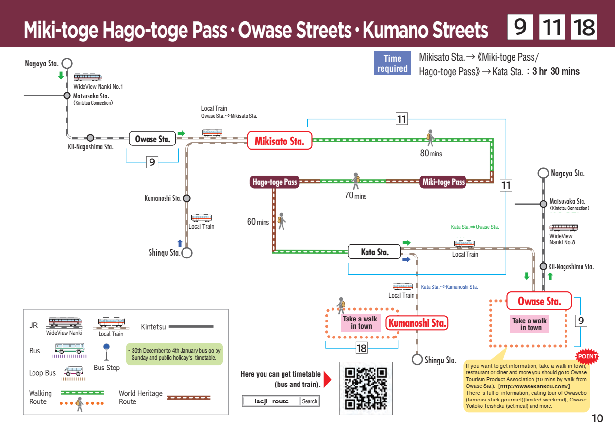
About 3 hours
Distance
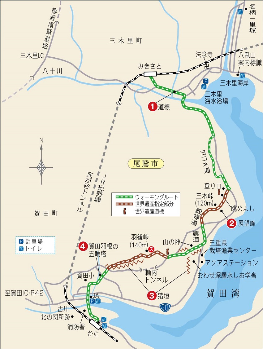
Around 6km (From JR Mikisato Station to JR Kata Station)
sea level
140m
Route features
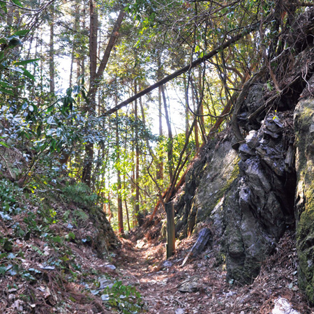
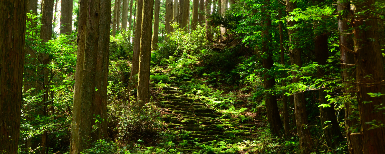
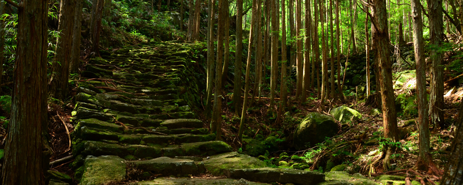
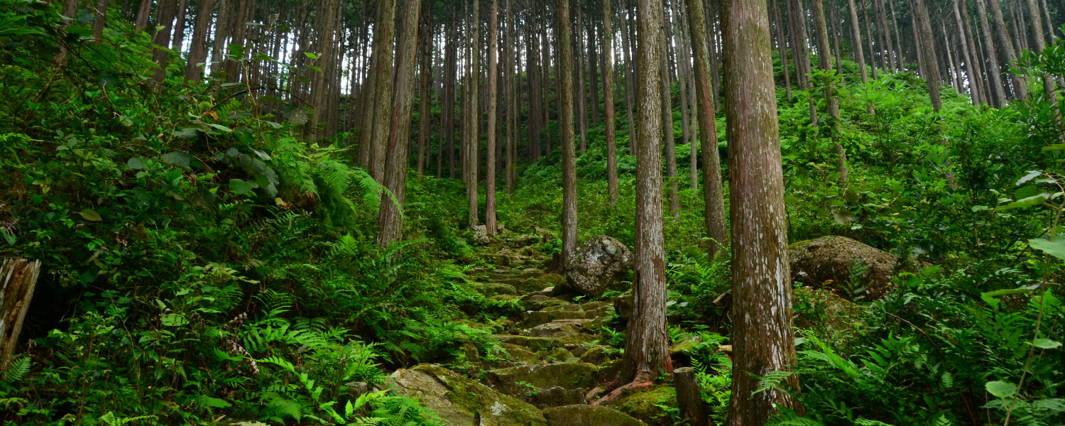
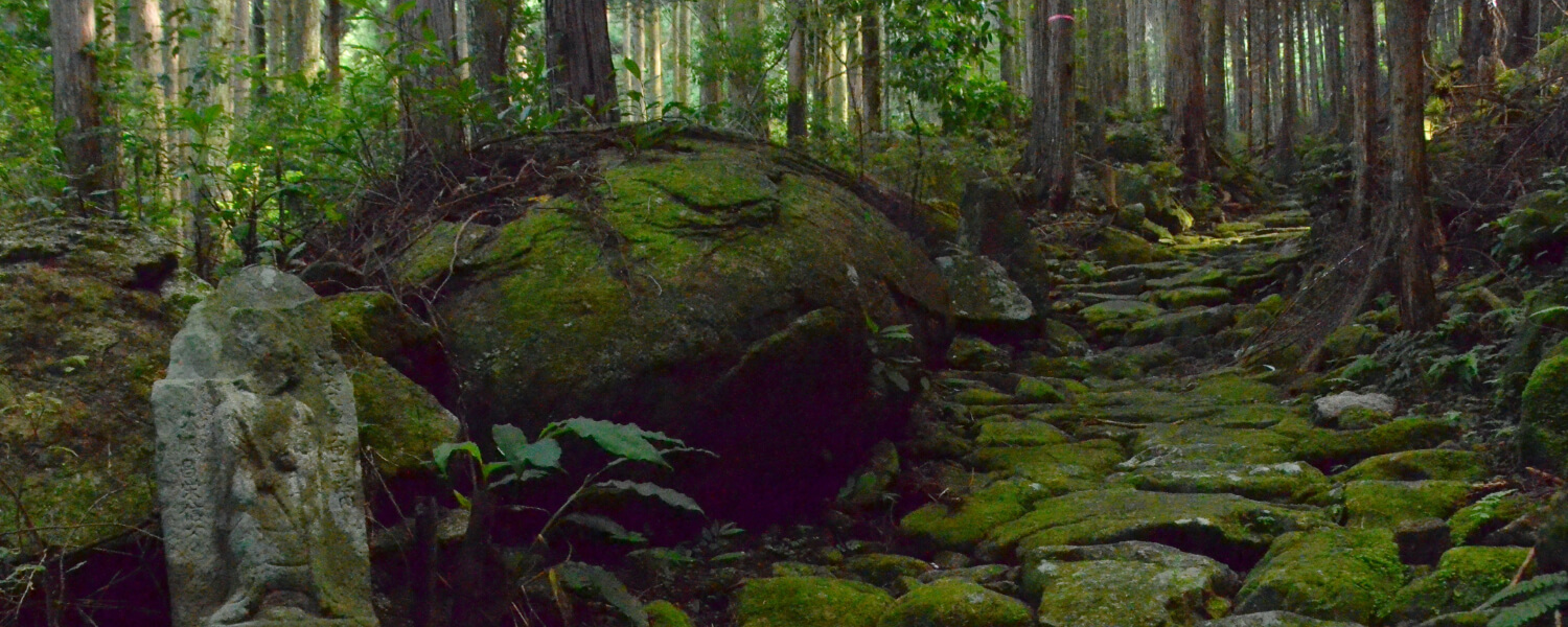
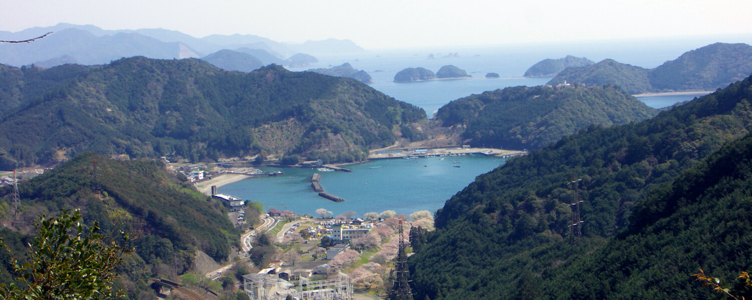
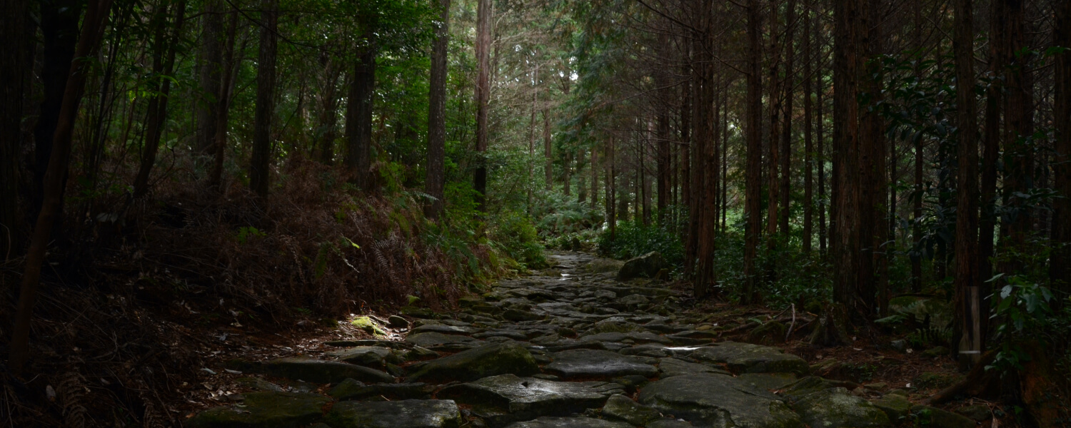
This old path was excavated by the locals in recent years. The path breaks off here and there, but this is a scenic route that gives you views of the ocean between the trees. The magnificent stone fences that stretches endlessly from the pass is said to be the longest in the region, and provides a look at the lives of the people that used to live here.
Route highlights
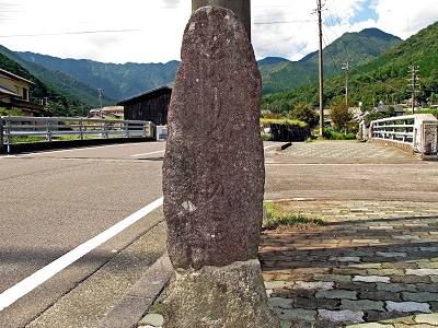
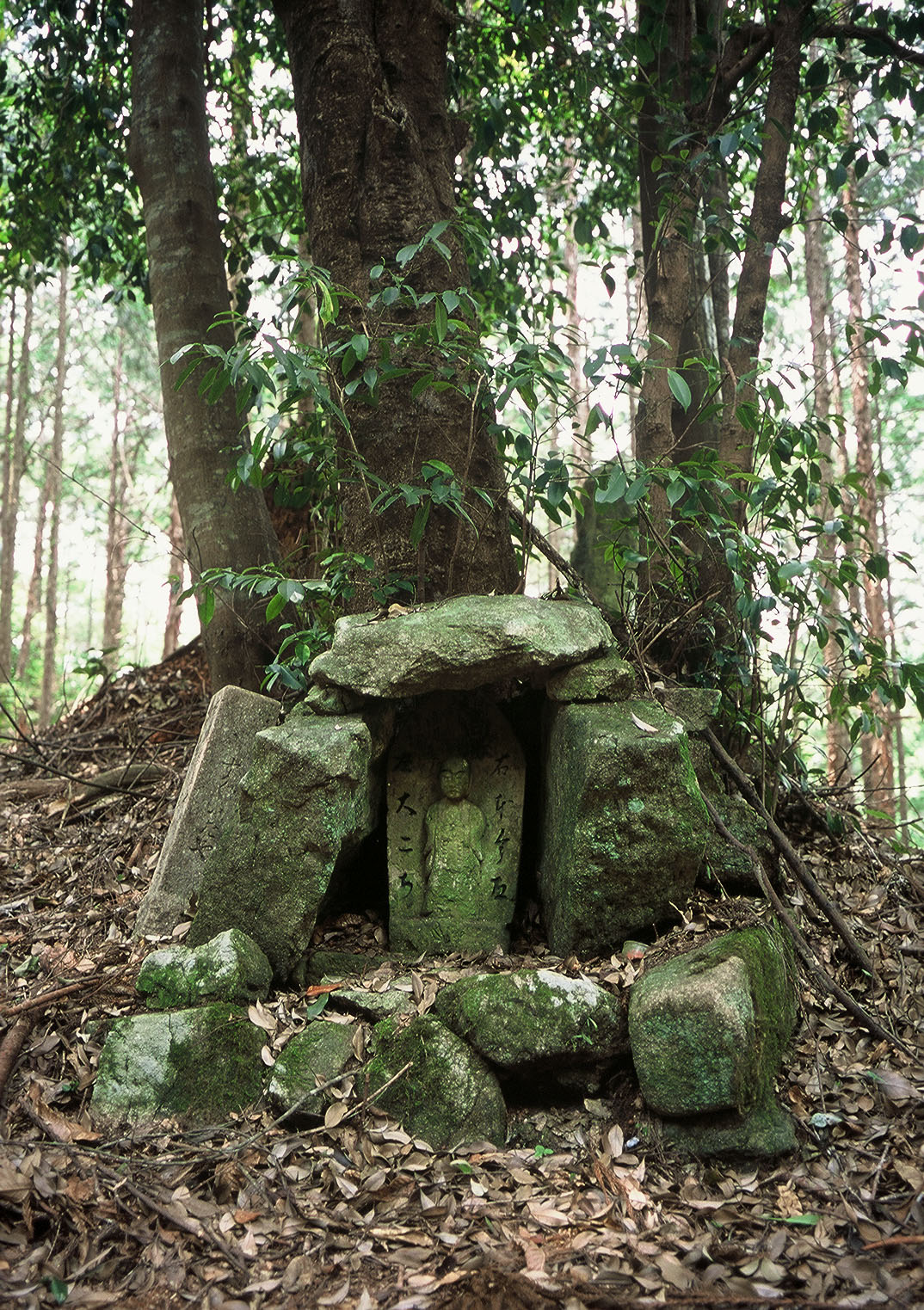
Signpost
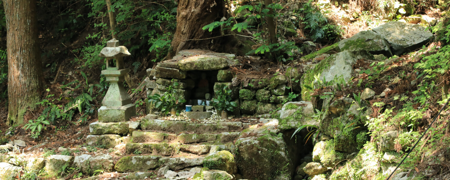
This stone signpost reads, "Kumano-michi on the left."
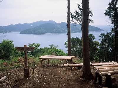
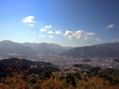
Observation Peak
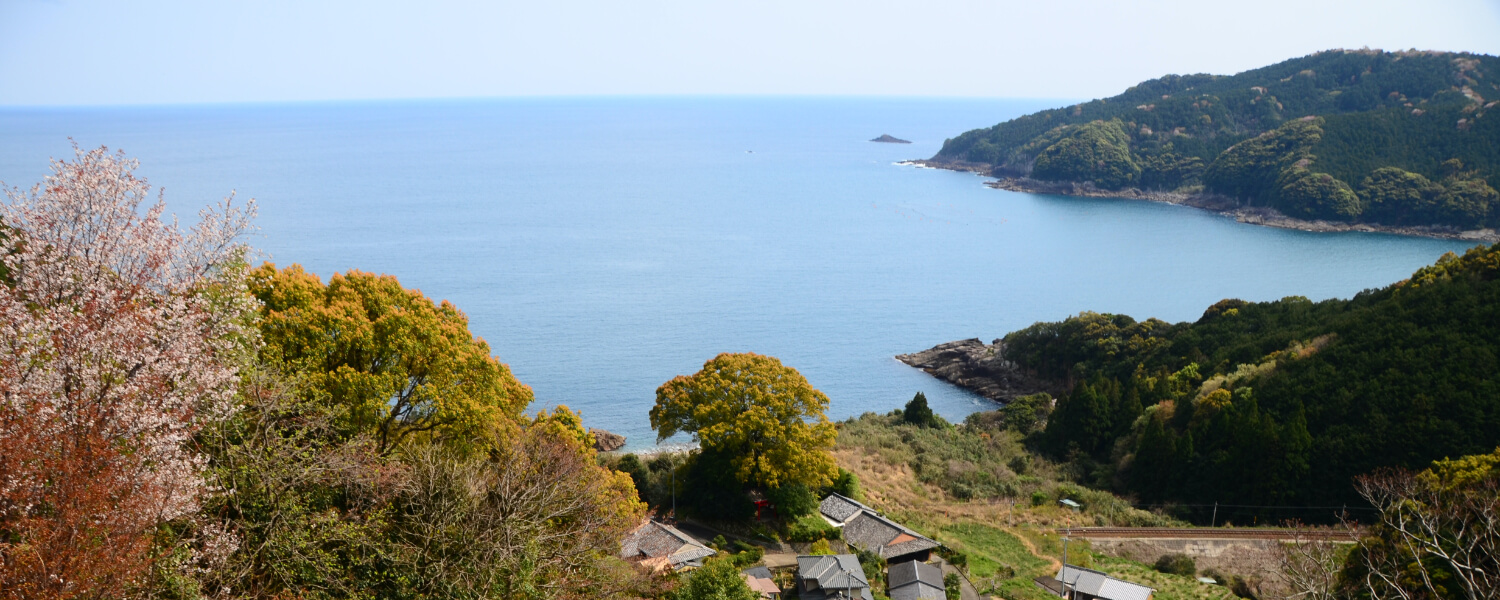
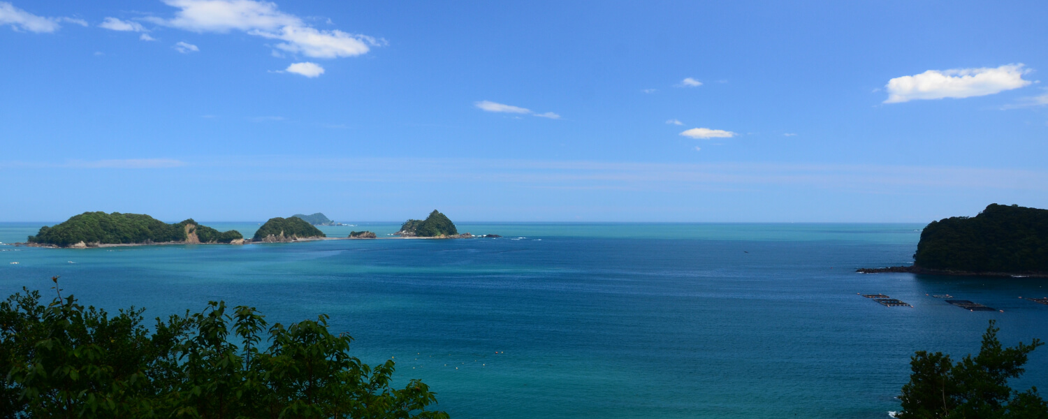
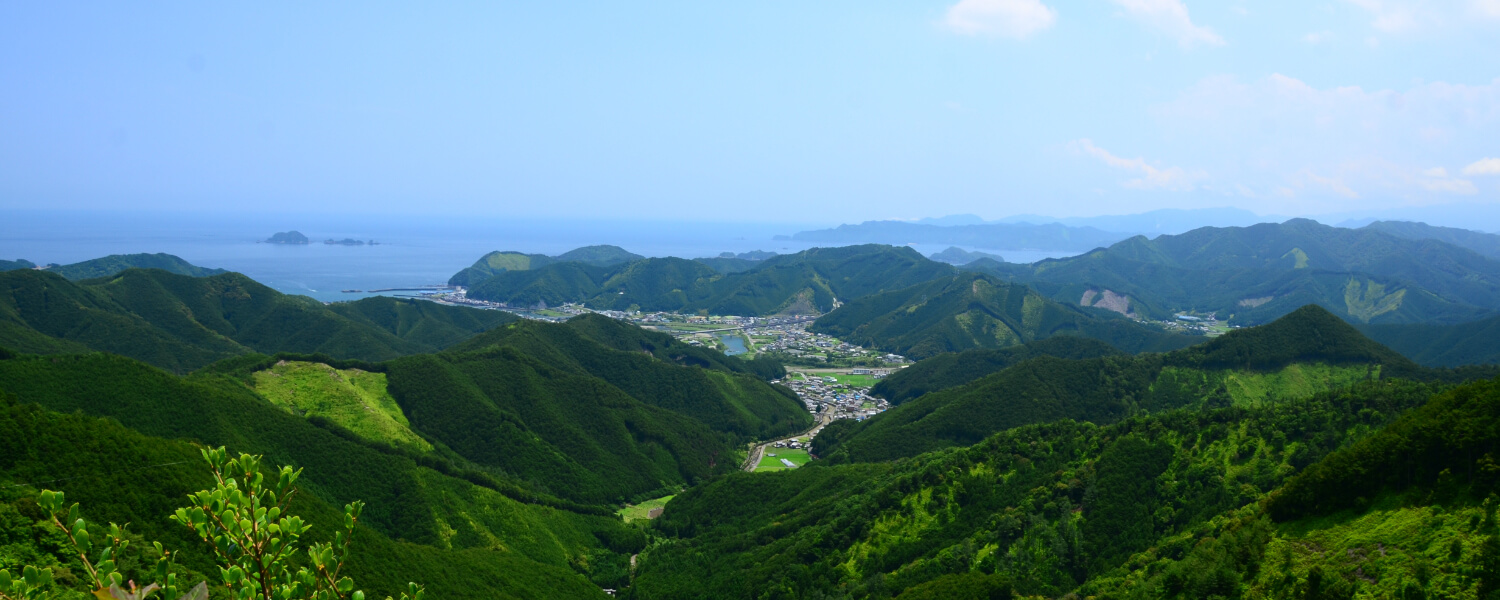
When you climb up from Miki-toge Pass (120m above sea level) to the observation peak (139m above sea level), you will see some benches on the top where you can take a rest, and enjoy the view of the Sea of Kumano and the town of Mikiura.
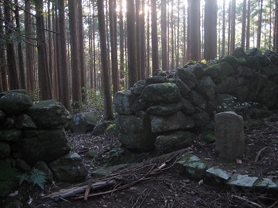
Shishigaki
You will pass a huge stone fence on your hike. Walk along the stone fence and you will see a signpost that reads "Kumano-michi on the left".
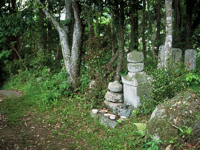
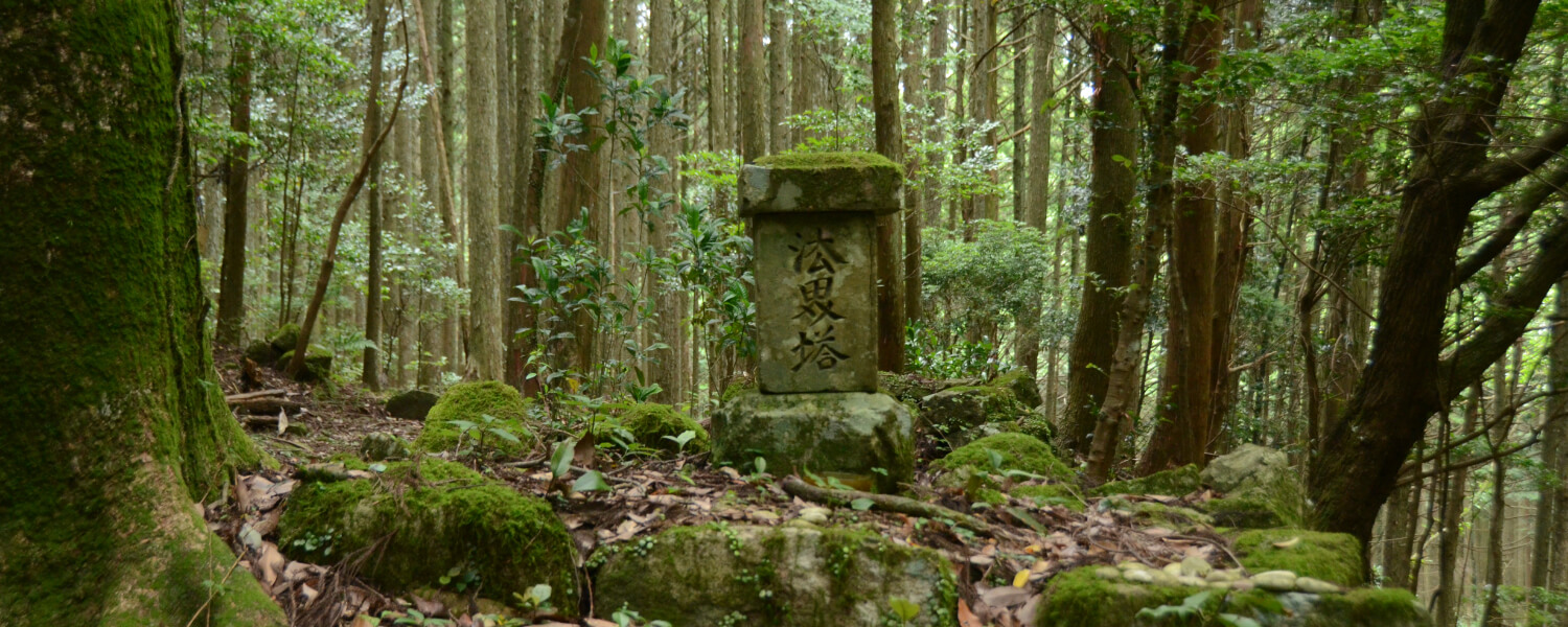
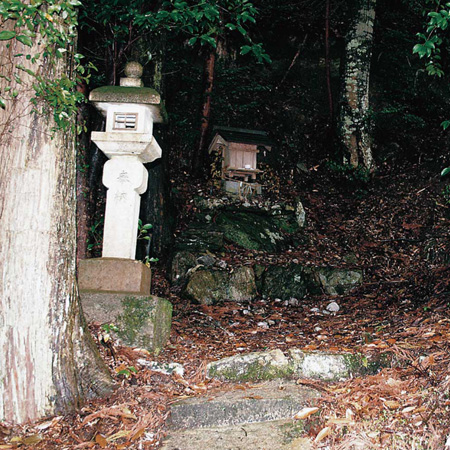
Katahane no Gorinto
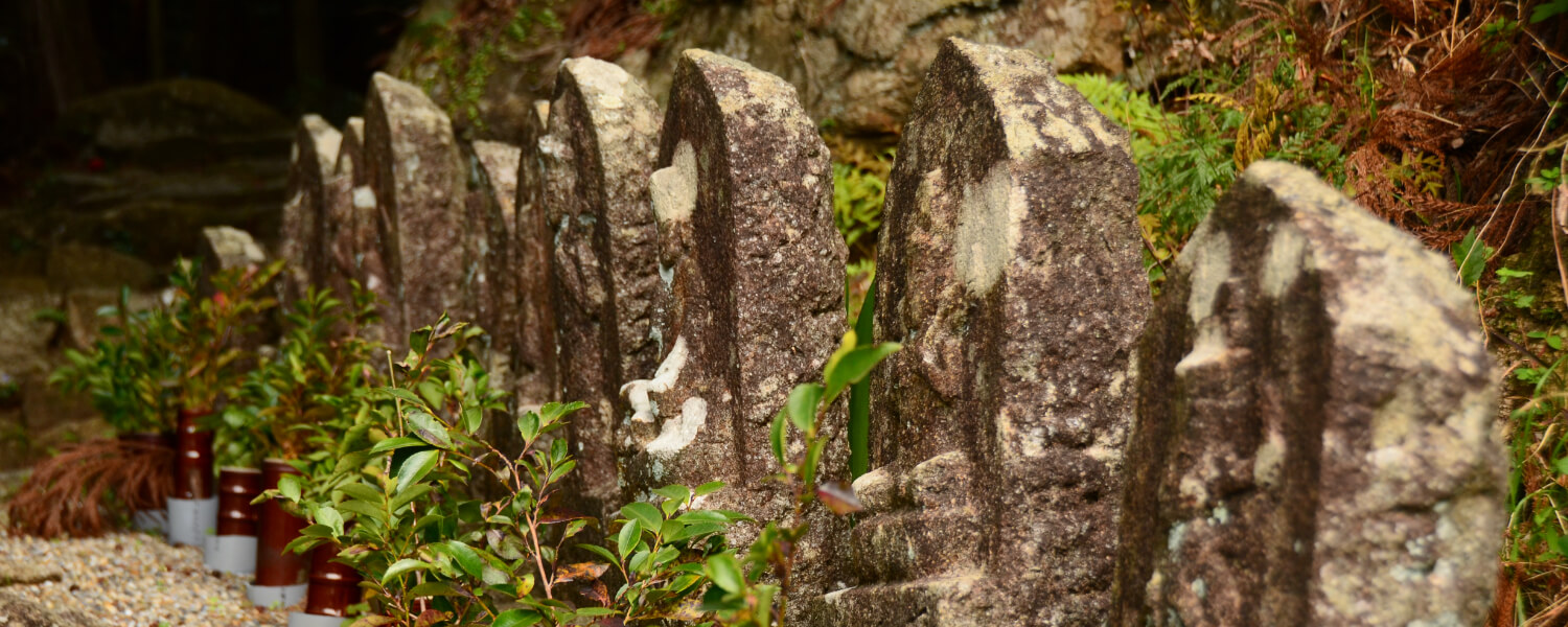
This Gorinto, or five-ringed tower dates back to the early Edo period. In Buddhism, the five levels of this tower represent the five elements that make up the universe – the void, wind, fire, water and earth. This is said to be built as a memorial for a deceased person.
Road trip to Kumano Kodo
距離 約6km(JR三木里駅~JR賀田駅) 歩行時間 3時間 駐車スペース【JR三木里駅側】○三木里海水浴場駐車場※夏場は有料1000円(駅から徒歩15分/三木里バス停から徒歩1分)
【JR賀田駅側】○JR賀田駅(駅/バス停から徒歩すぐ)
◆マイカーで来訪での歩きイメージ◆
Aパターン
START 三木里海水浴場に駐車
⇓
三木里方面~賀田方面へ歩く
⇓
【賀田駅】または《賀田駅バス停》
⇓【列車】or《バス》
【三木里駅】または《三木里バス停》
⇓
GOAL 駐車場に戻る
Bパターン
START 賀田駅に駐車
⇓
【賀田駅】または《賀田駅バス停》
⇓【列車】or《バス》
【三木里駅】または《八十川橋バス停》
⇓
三木里方面~賀田方面へ歩く
⇓
GOAL 駐車場に戻る
Other routes on the Kumano Kodo Iseji Trail

